USGS BENCH MARK 1902 Jerry Penry
The 1902 elevation of 1142.710 by USGS is based upon the United States Geological Survey 's "Omaha" datum. This datum originated from bench marks established by the Missouri River Commission near Omaha in 1892.
The cap measures 3 3/4" diameter, 1" tall and 1/8" thick. It is attached to a steel pipe with brass rivets in four locations. The pipe is 3 1/2" outside diameter and 4' tall with a flanged bottom. The flange width is 10" and the total weight of the monument is 25 lbs.
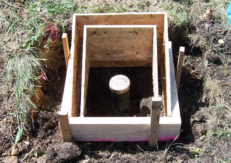
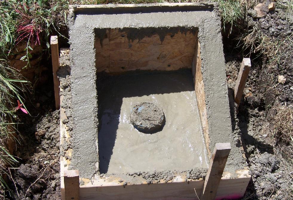
The intent is to replace this bench mark back in the same area and at the same elevation once construction is completed.
1143 OMAHA
June 27, 2007
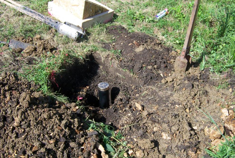
This bench mark was established in 1902 by USGS surveyor M. A. Steele who was doing topographic mapping for the "Weeping Water" 30-minute quadrangle sheet in eastern Nebraska. The cap and iron post is from the 1896 design implemented by USGS. Due to expansion of Interstate-80 between Lincoln and Omaha, the monument was likely going to be destroyed. Precise levels were first run to it in order to determine its elevation based upon 1988 NAVD which is 1142.397. This would convert to an elevation of 1142.077 for the NAD27. 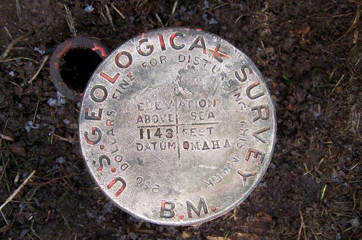
The iron pipe next to the bench mark was placed by an unknown person who probably thought the monument did not contain iron like most brass disks placed in concrete. 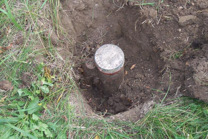
Excavation of the bench mark begins.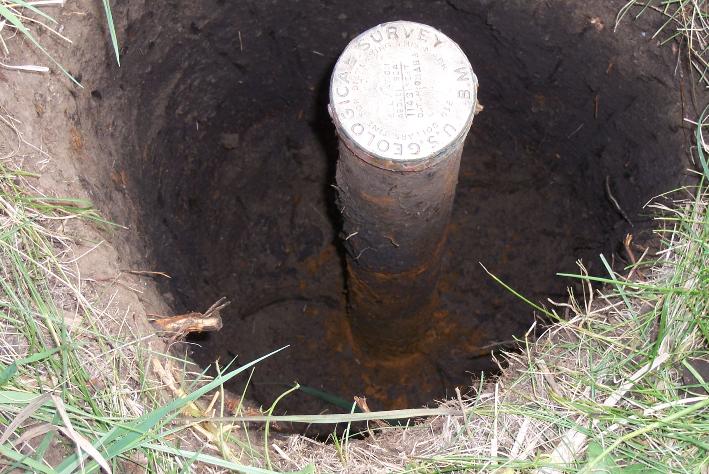
Rust in the soil from being buried for 105 years.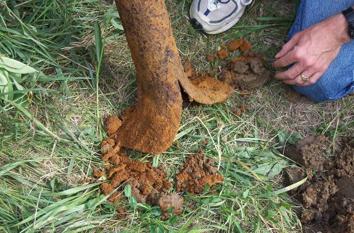
The flanged bottom was a design to inhibit the easy removal of the bench mark.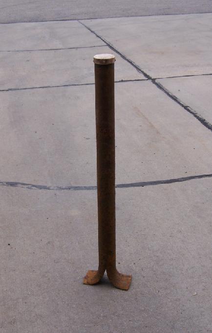
The entire bench mark as it would appear when new.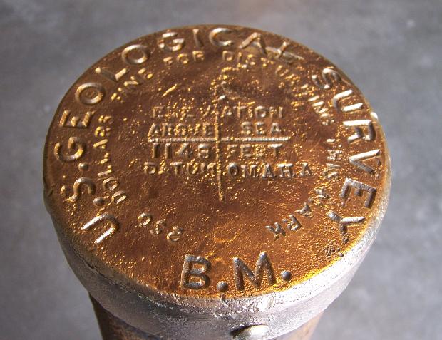
The polished cap.


© Jerry Penry 2010