U. S. Coast & Geodetic Survey "MAKAPUU POINT RESET" Jerry Penry
In Augsut of 1929, the Hawaii Territory Survey built a "Type A" structure over the bronze disk. In January of 1942, during WWII, it is believed the U. S. Engineers removed the "Type A" structure during construction of several nearby concrete observation bunkers on the same hill. The bronze disk marker, however, survived and was found intact later in 1942. A new concrete "Type B" monument and signal pipe were set over disk by the U. S. Engineers while under supervision of the Hawaii Territory Survey. In 1969, Reference Mark No. 3 was placed on the roof of one of the WWII bunkers.
The location is a popular hiking area which is easily accessed from a long hike up a winding asphalt trail from a parking lot along Highway xx. This trail goes to a lookout area over the ocean and the historic Makapuu Point lighthouse. The survey markers are on another ridge that requires some off trail hiking. The "Type B" structure is badly weathered and starting to fall apart. Through an opening at the bottom of the structure you can reach inside and removed the debris to uncover the bronze disk. The "Type B" concrete structure likely once had a signal pole with the red and white vanes, but this was nowhere to be found. All three reference marks were found in very good condition. The WWII bunkers are easily accessible, but have fallen victim to age and graffiti.
1927
November 23, 2012
This point is located on the southeast coast of Oahu, Hawaii. An early marker at this location which was set in 1872, consisted of an iron bolt set in the rock and with a cairn of stones. In 1927, the station was remarked by USC&GS with a standard bronze disk in a mass of concrete that was placed over the bolt. Reference marks No. 1 and No. 2 were also placed at this time by USC&GS.
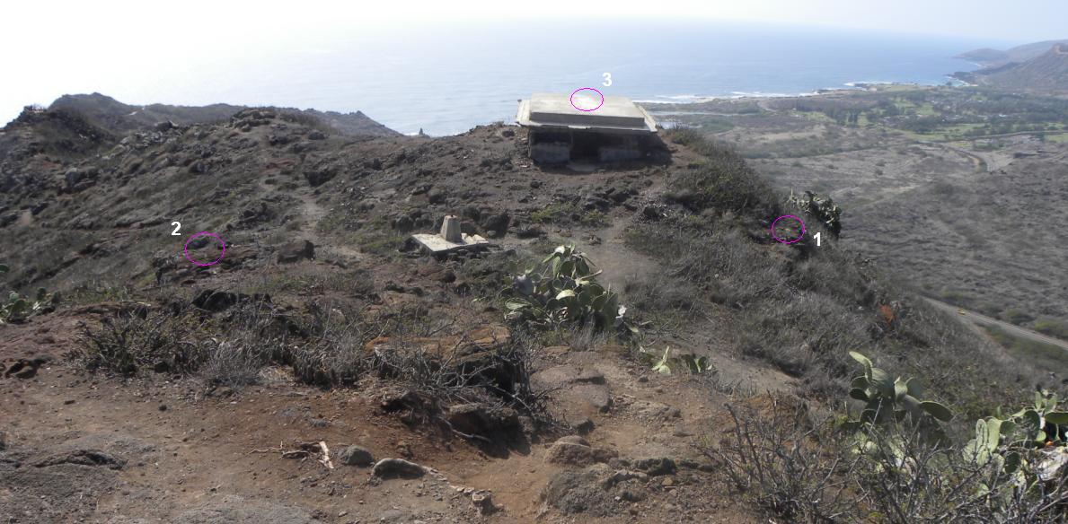
The concrete monument in the center of the photo is the "Type B" structure. Reference Marks 1, 2, and 3 are shown in their respective locations.
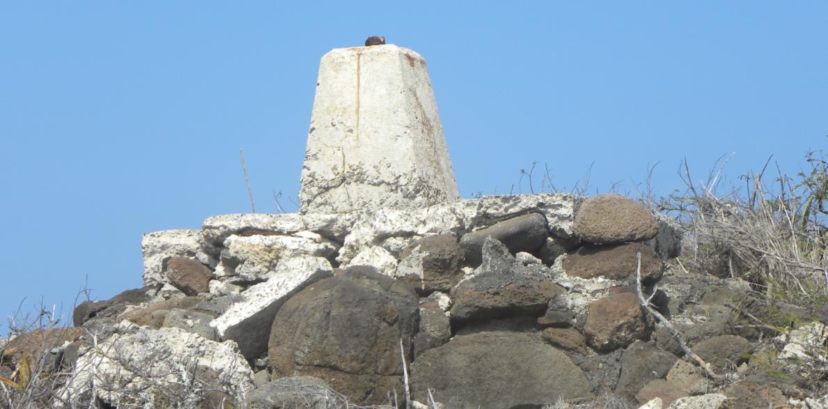
The "Type B" monument established by the Hawaii Territory Survey. The old stones are likely from the former "Type A" structure and from the original stone cairn of 1872.
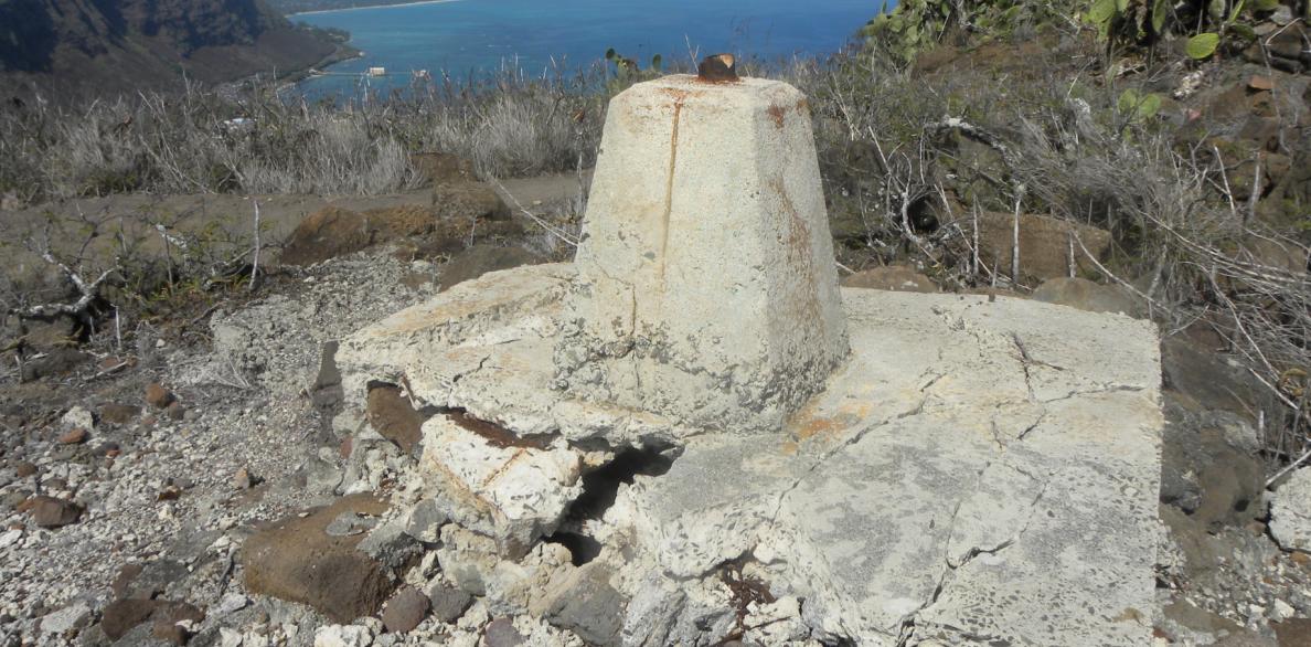
Another view of the structure over the survey monument.
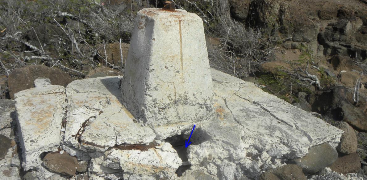
The arrow points to an opening where access can be made to the USC&GS bronze disk.
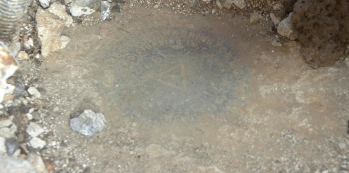
The 1927 bronze disk inside the concrete structure.
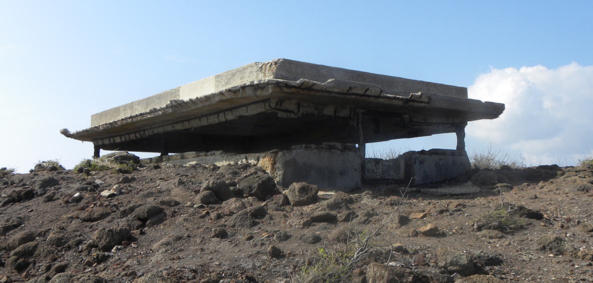
The nearby WWII bunker. Reference Mark No. 3 is on the roof.
Reference Mark No. 3 on the roof of the bunker. It has been used as an aerial target.
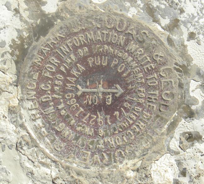
Close-up of Reference Mark No. 3.
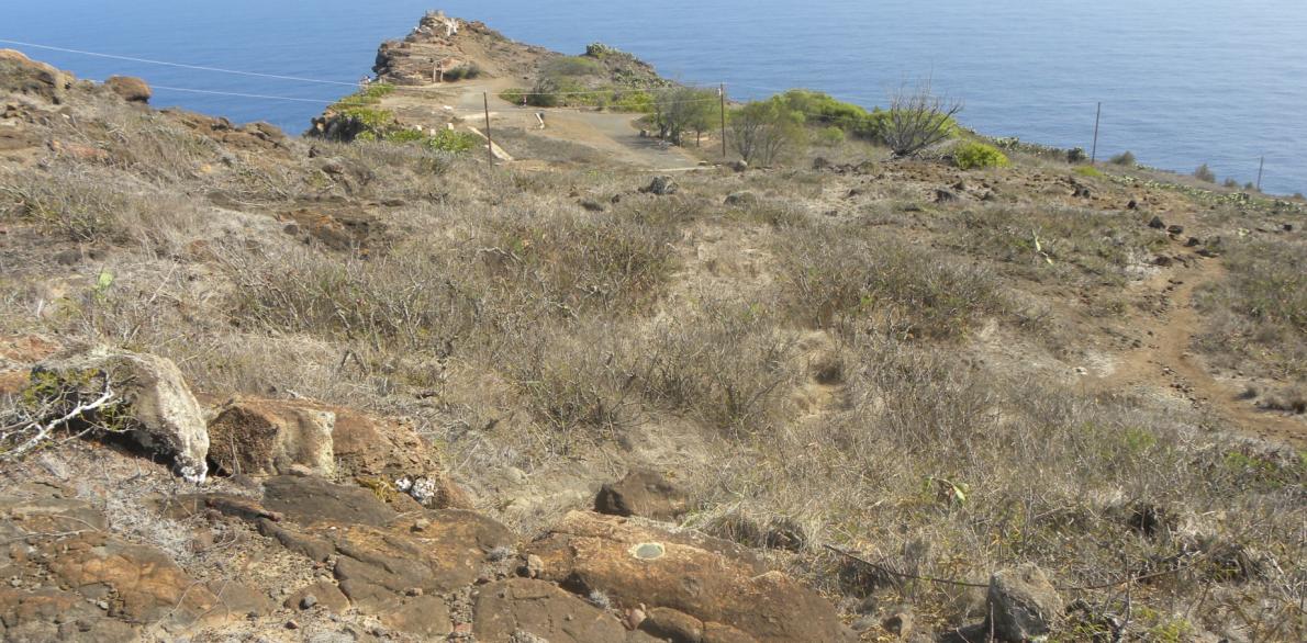
Reference Mark No. 2. In the background is the lookout point on another hill. To the right and below is the lighthouse.
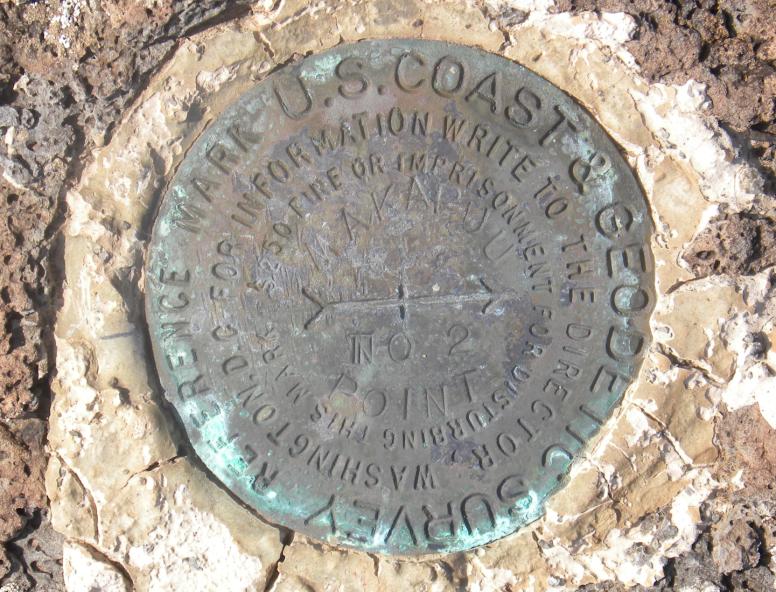
Close-up of Reference Mark No. 2.
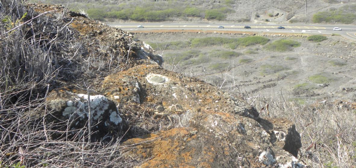
Reference Mark No. 1.
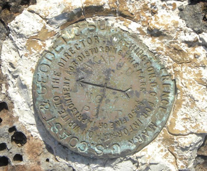
Closeup of Reference Mark No. 1.
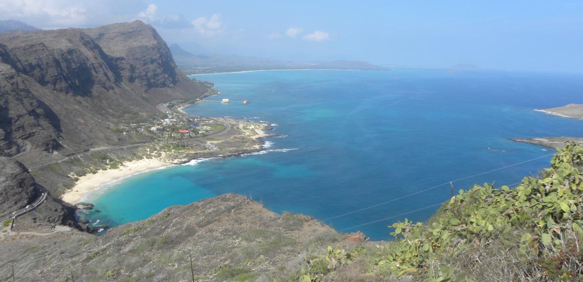
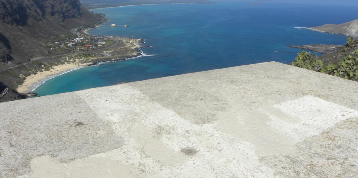
A nice view of the bay.
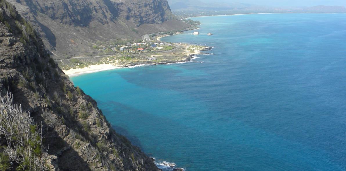
Another view of the bay.
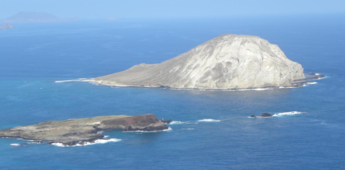
Islands.
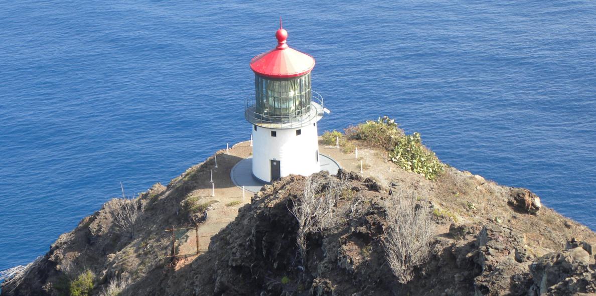
The lighthouse below the cliffs.
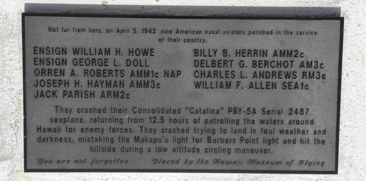
A nearby memorial for a WWII crew who crashed their PBY-5A "Catalina".
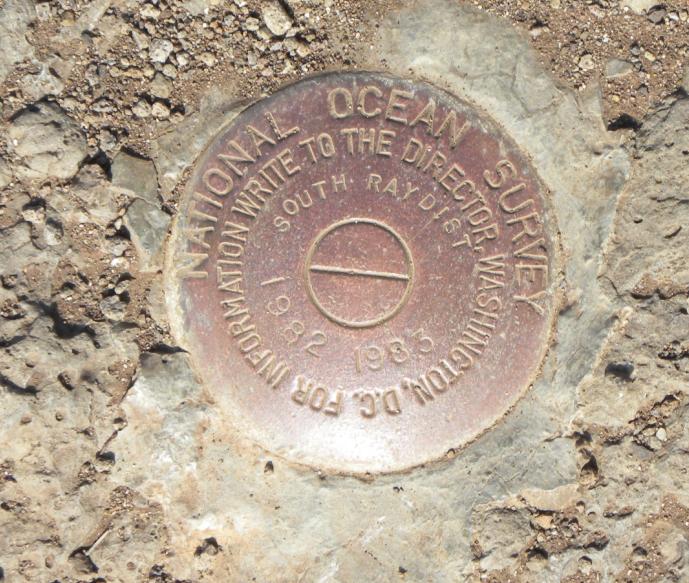
Another survey marker found near the oberservation lookout area on another hill. "South Ray Dist 1982 1983".
The survey marker is in the foreground.
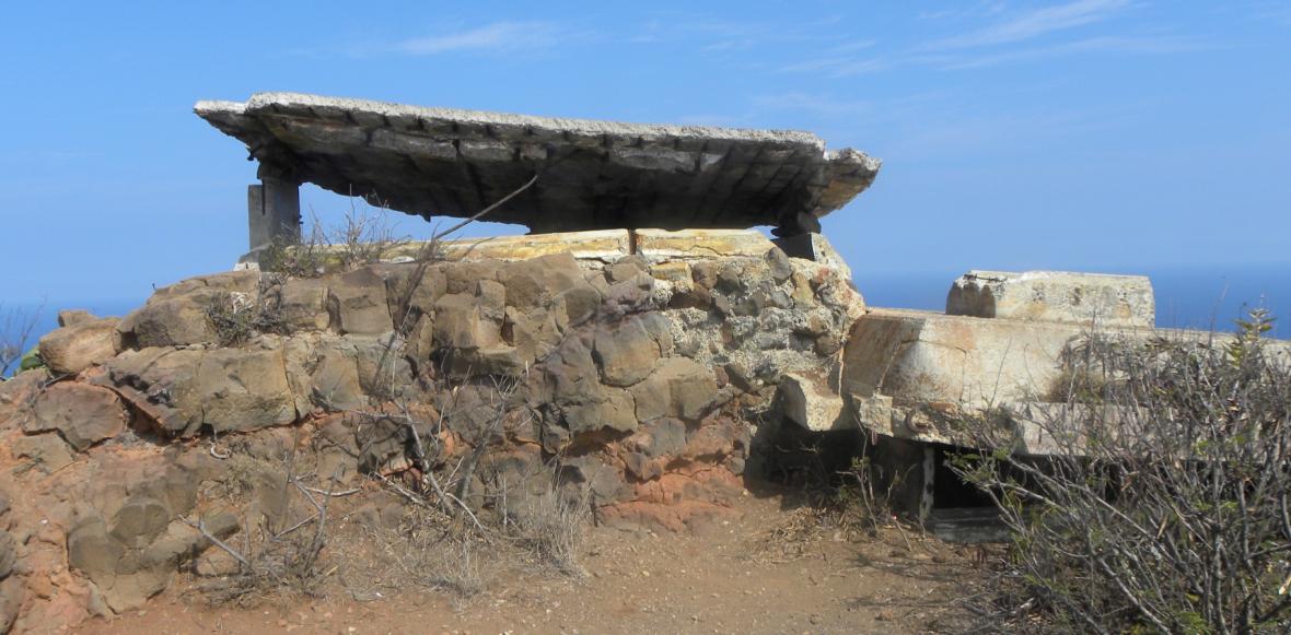
Another WWII bunker that is near the "Makapuu" triangulation station.
Other Hawaii Survey Markers


© Jerry Penry 2012