Missouri River Commission PONCA Jerry Penry
The monument of the Missouri River Commission was a 4"-diameter iron pipe 36" in length with a 5 3/4" cast iron cap marked for that agency. The lower mark beneath the pipe was a native piece of local sandstone measuring approximately 18" square with a chiseled "+" for the center point. The letters "U.S." were above the mark and the shape of a triangle was below it. The iron pipe became an easy target for theft since the hill was frequently visited by both the Native Americans and the new white settlers.
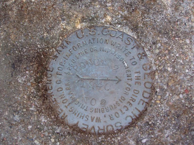
PONCA 2
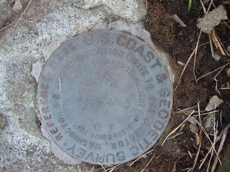
The Coast & Geodetic Survey visited the site in 1940, but quarrying had removed all traces of the 1935 brass disk at the station location as well as the two reference marks. Station "Ponca" then ceased to exist. A new disk was set nearby and designated "Ponca 2" by C&GS. Two new reference marks were set and it appears that the quarrying of the sandstone on the top of the hill had ceased by this date. Another visit by C&GS in 1948 found all marks.
On October 18, 2008, or sixty years from the date of the last report made for station "Ponca 2", the site was visited by surveyors Kurt Luebke and Jerry Penry. Most of the areas made by quarrying had grassed over, but many deep pockets existed in various places. The brass disk of 1940 was found as well as the two reference marks.
While on the high hill, one had the sense of being in a location that many had passed by before. It is almost certain that Chief Standing Bear had once stood at that very location since the Ponca village was located not far from the hill. Small chipped fragments of the same type of sharp sandstone that is found on Ponca Hill can be found in many regions of the Nebraska Sandhills where the natives hunted buffalo.
Chief Standing Bear
Triangulation Station
1889
October 18, 2008
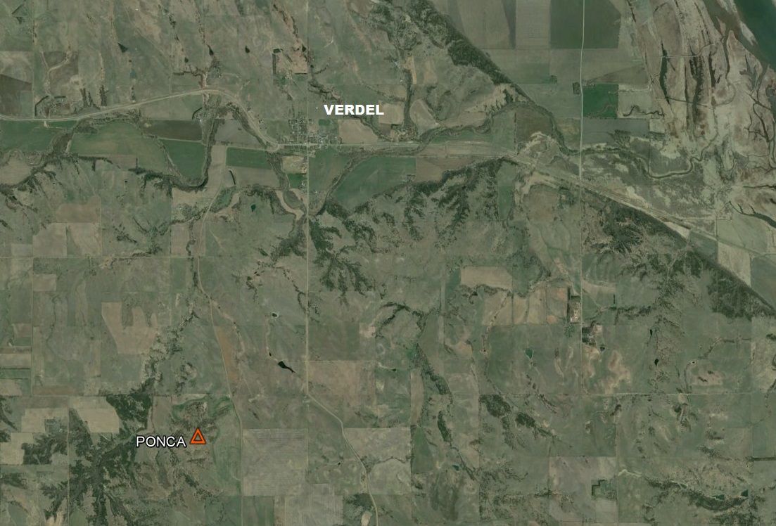
In the year 1889 the Missouri River Commission established one of their triangulation stations on a high peak in north-central Nebraska that rose nearly 250' above the prairie. The Ponca tribe used this hill for a number of different reasons including a lookout location since the surrounding countryside could be viewed unobstructed for many miles in all directions. More importantly was a type of native sandstone that was abundant on the top of the hill. The light green or gray-colored stone had flint qualities and was used mostly for cutting or scraping utensils.
Ponca Hill looking toward the west.

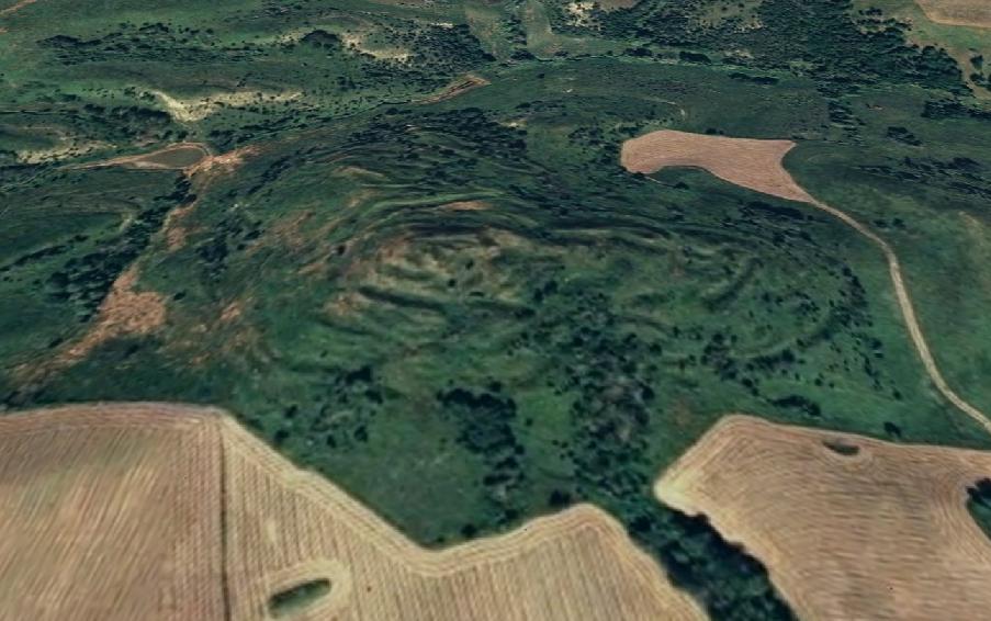
Ponca Hill viewed straight down on USGS quad map.
This hill can be seen for many miles in all directions.
In 1901 the United States Coast & Geodetic Survey connected their own triangulation network known as the "98th Meridian Survey" by using the existing station "Ponca" as part of their network. The capped pipe placed in 1889 was already missing, but C&GS surveyors were able to locate the lower marked stone.

Station "Ponca" being used by C&GS in 1901 during their 98th Meridian Survey.
In 1935 the station was revisited and the lower stone was still in existence. A standard C&GS brass disk was placed in the chiseled "+" on the stone which was stated to be 2' deep. Two brass disk reference marks were established by drilling holes into the native sandstone.
1940
(Click Here)

Ponca Hill as viewed from the nearby road.
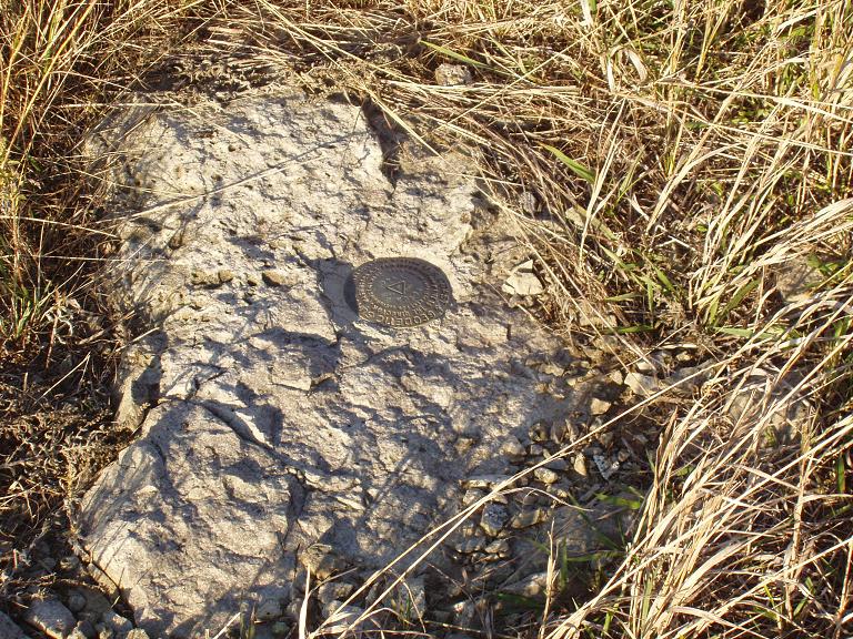
The native slab of sandstone where "Ponca 2" was set in 1940.
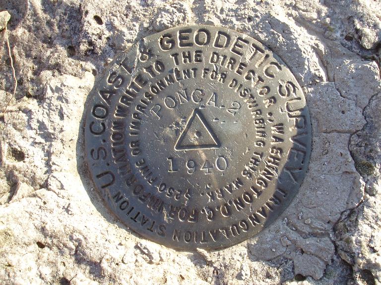
Triangulation station "Ponca 2".
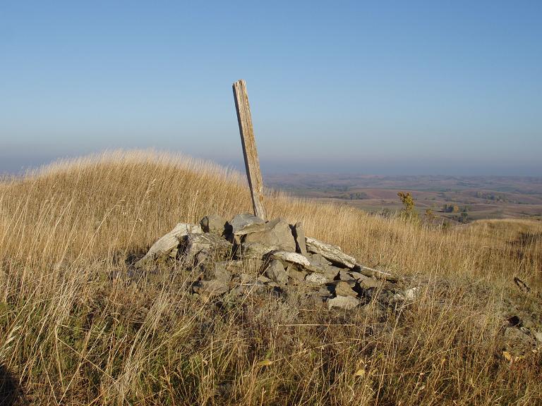
A wooden post with rocks piled around for unknown reasons.
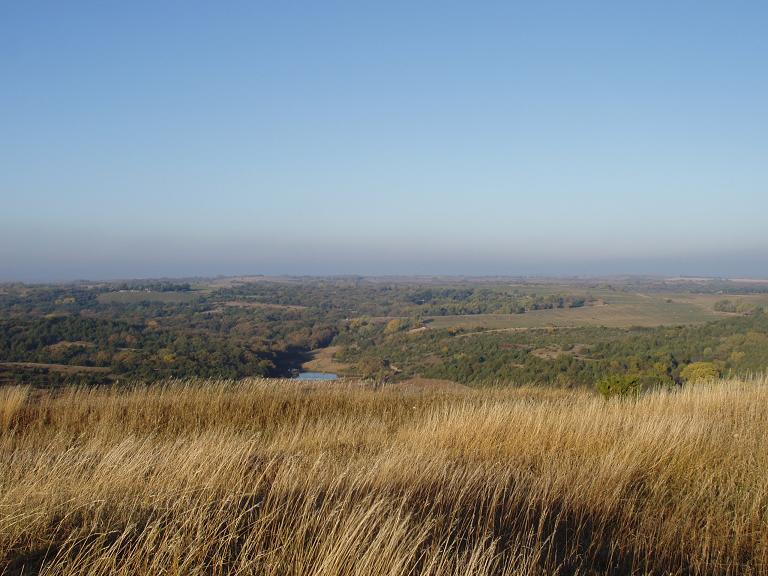
The view to the north.
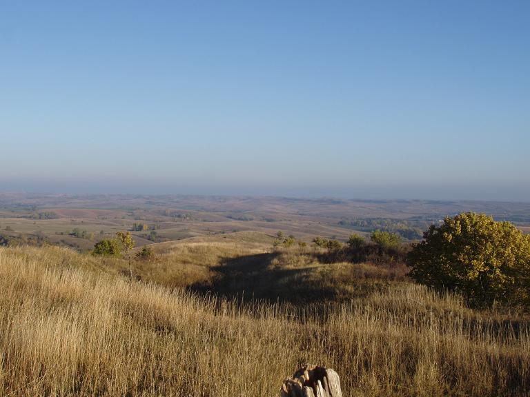
The view to the west.

The view to the south.
Reference Mark No. 1.
Reference Mark No. 2.
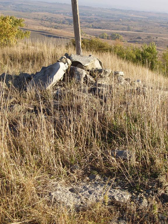
"Ponca 2" in the foreground with the post and rock pile behind it.

Ponca Hill as viewed from station "Ward" which was the next
Missouri River Commission station to the east 5.5 miles away.

© Jerry Penry 2008
