Missouri River Commission TEKAMAH Jerry Penry
Triangulation Station
1890
March 23, 2015
Triangulation station "TEKAMAH" was once located on a high hill on the southwestern part of Tekamah, Nebraska. When originally established in 1890, the monument consisted of a capped iron pipe over a lower stone. The position for this monument, as determined by adjusting the original latitude and longitude, is now within the area where an underground water storage tank was built many years ago. In 1934, USC&GS established their own triangulation station on the same hill which they designated "Tek". This monument is a standard bronze tablet in concrete and exists today. Also on this hill and to the north of "Tek" is a 2.5" brass cap in an iron pipe which was apparently established at an unknown date by the U. S. Army Corps of Engineers and designated "378". The monuments were recovered by Gene Thomsen, Kurt Luebke, and Jerry Penry.
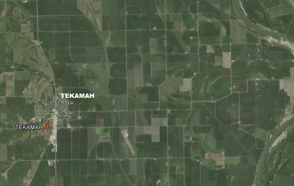
Aerial view of the town of Tekamah and the station of the same name. The Missouri River is at far right.
The location o9f USC&GS station "Tek" looking to the northeast over the town of Tekamah.
USC&GS station "Tek".
Closeup of the triangulation station "Tek".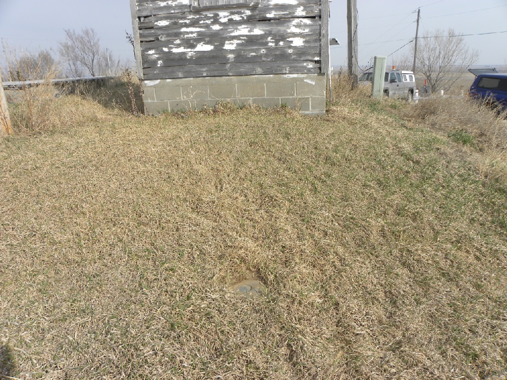
Reference Mark No. 2 for station "Tek".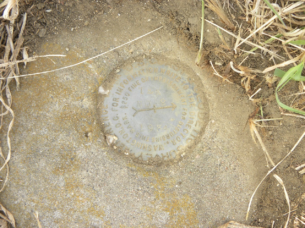
Closeup of Reference Mark No. 2.
Reference Mark No. 3 for station "Tek".
Closeup of Reference Mark No. 3.
Corps of Engineers triangulation station No. 378.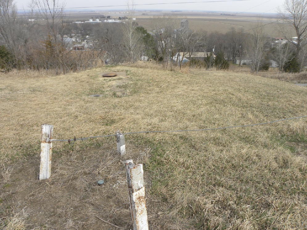
Triangulation station No. 378.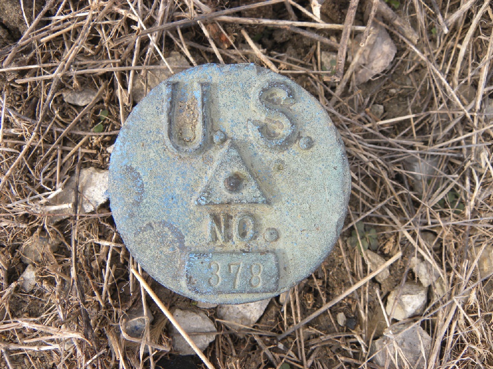
Triangulation station No. 378, painted blue by the local water department.
Triangulation station No. 378 polished.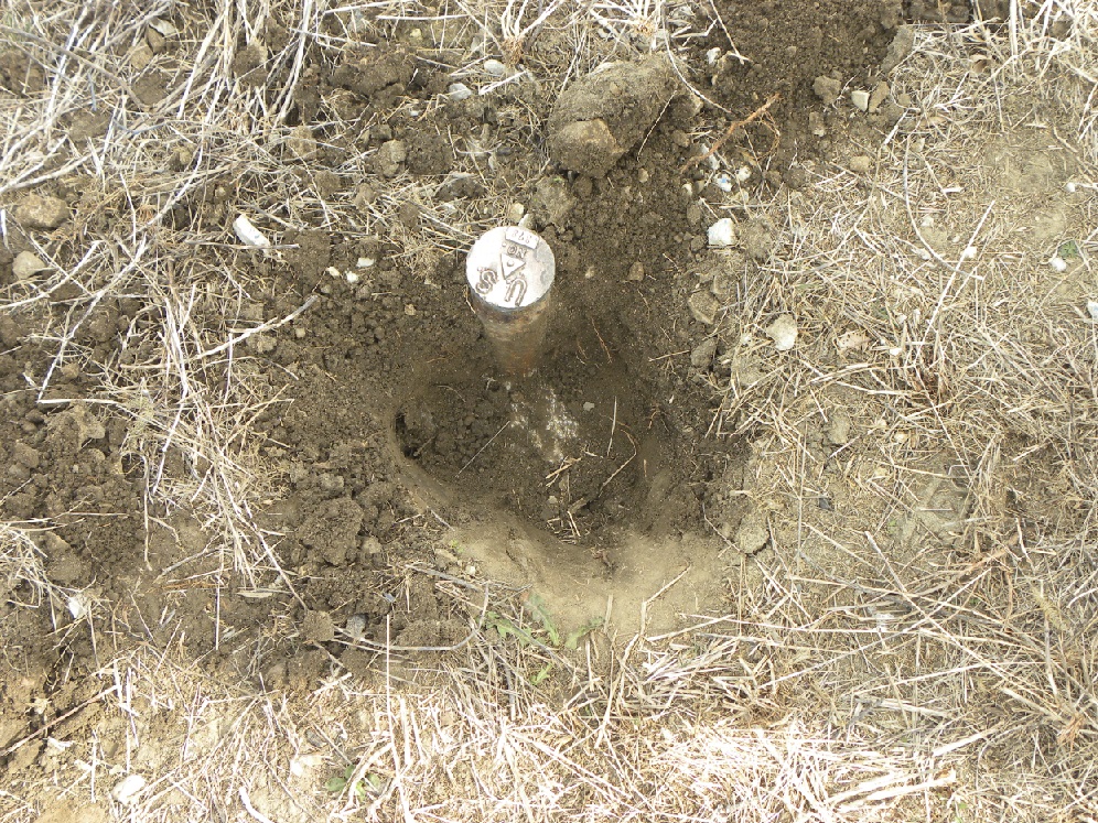
Evidence that the pipe with brass cap was placed in concrete.
The size of the brass caps measuring 2.5" in diameter.
Closeup aerial view showing where the original "Tekamah" triangulation station was placed in 1890 and now where the water tank is located.
Also the location of Corps No. 378 and USC&GS "Tek".

© Jerry Penry 2015
