USC&GS and SS
Triangulation Station
"BATTLE MOUNTAIN"ca. 1930's
Jerry Penry
September 26, 2015
A rare triangulation station monument in the Black Hills most likely placed during the Great Depression years of the 1930's. This type of marker was placed by what was known as the State Survey of South Dakota which was loosely monitored by USC&GS. Battle Mountain is northeast of Hot Springs and is accessible by vehicle. The true name for this mark is not known, but I have designated it "Battle Mountain". NGS does not maintain a datasheet on this mark, so its position is unknown unless the State Survey data can be found. Recovered by Kurt Luebke, Dave Ingram, and Jerry Penry.
Battle Mountain located northeast of Hot Springs on the Black Hills National Forest map.
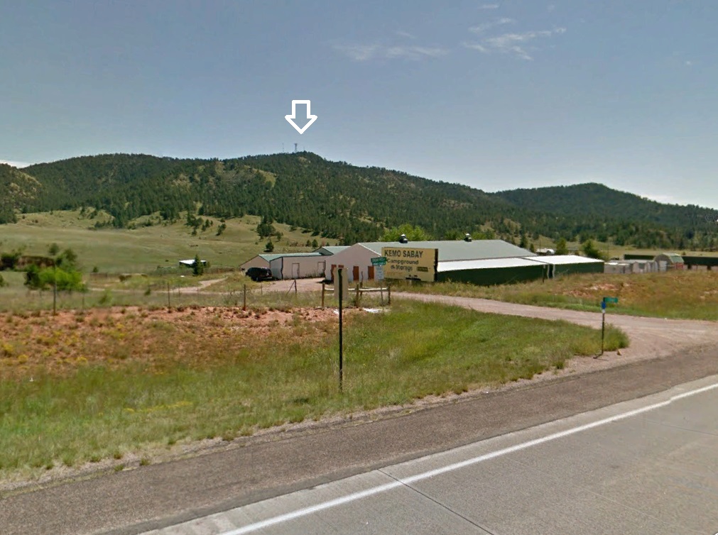
View of Battle Mountain from the northwest.
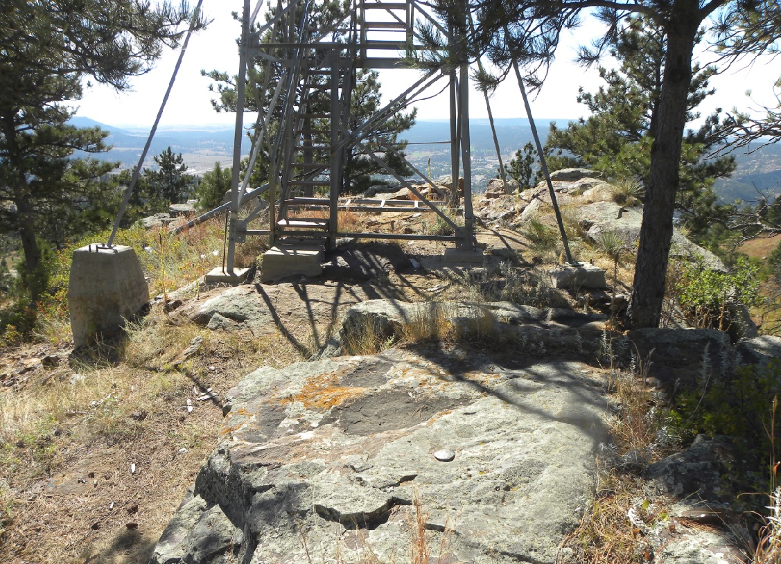
The State Survey triangulation station.
The State Survey triangulation station.
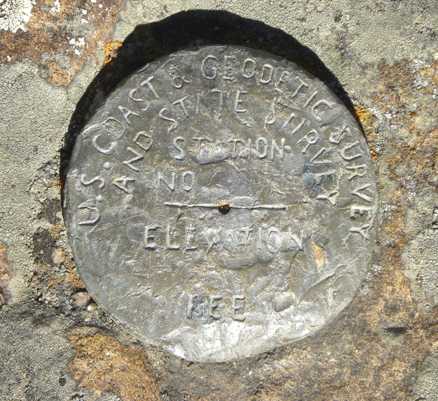
Close up of the bronze disk designated for the State Survey program.
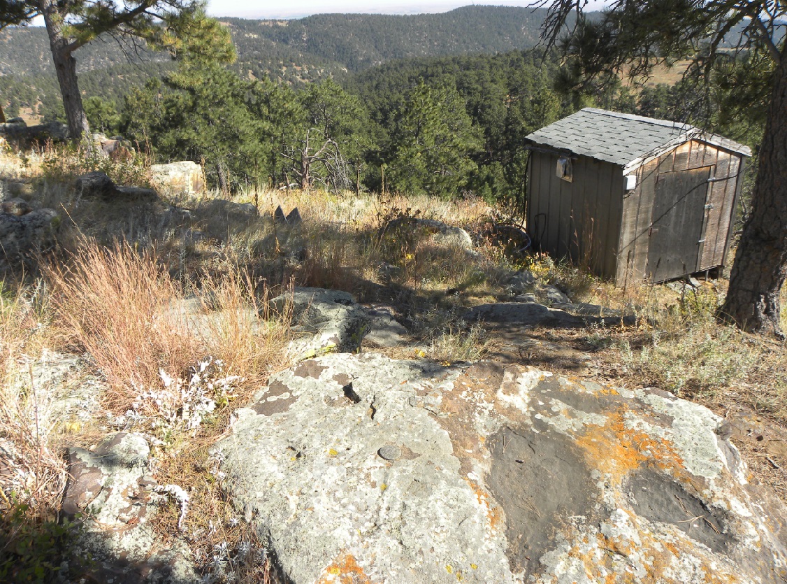
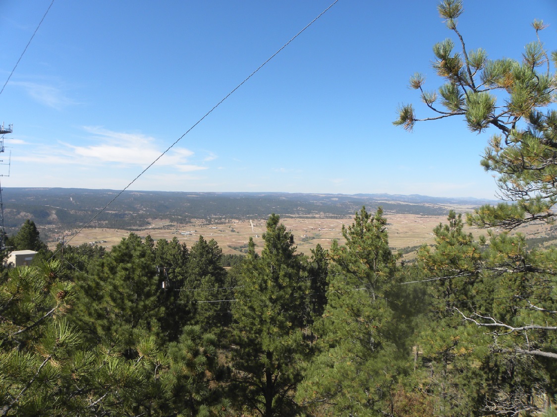
View from Battle Mountain.
View of Hot Springs (looking west) from Battle Mountain.
© Jerry Penry 2015