USC&GS Triangulation Station "BOULDER" Jerry Penry
1950
October 21, 2011
Triangulation station "Boulder" is located on the northern portion of the top of Boulder Hill in the Black Hills of South Dakota approximately 12 miles southwest of Rapid City. In 1964, when the station was last reported, there was mention of a windcharger 12' north of the marker. Today nothing remains of this structure. On the southern portion of the hill, there are large concrete footings that most likely supported a fire lookout tower. The description in 1950 stated that a 4-legged wooden tower with a glass enclosed cabin rose 50' above the hill.
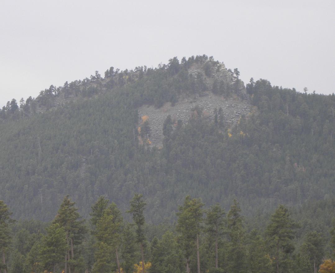
The north side of Boulder Hill through a foggy mist as viewed at a distance of two miles from Sheridan Lake Road.
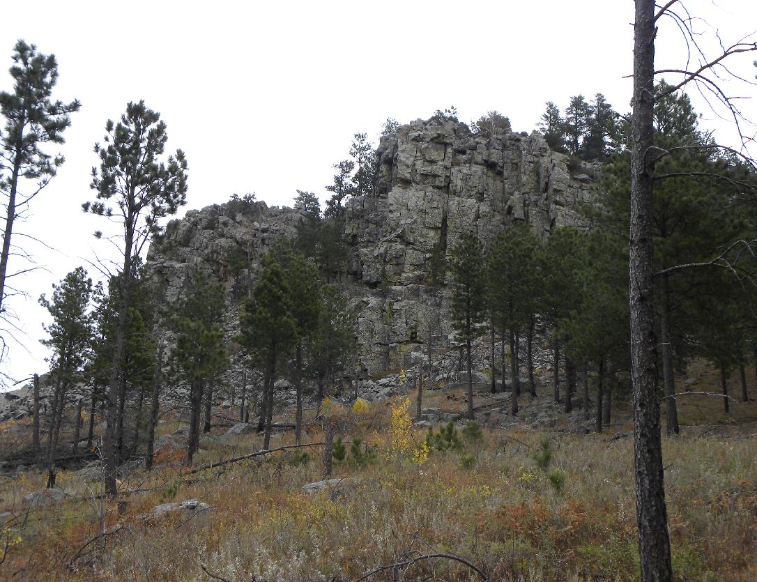
Close view of the west face of Boulder Hill.
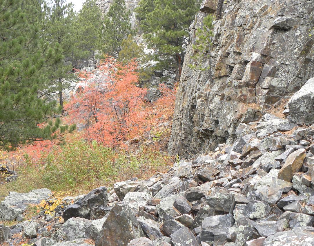
Fall scenery at the base.
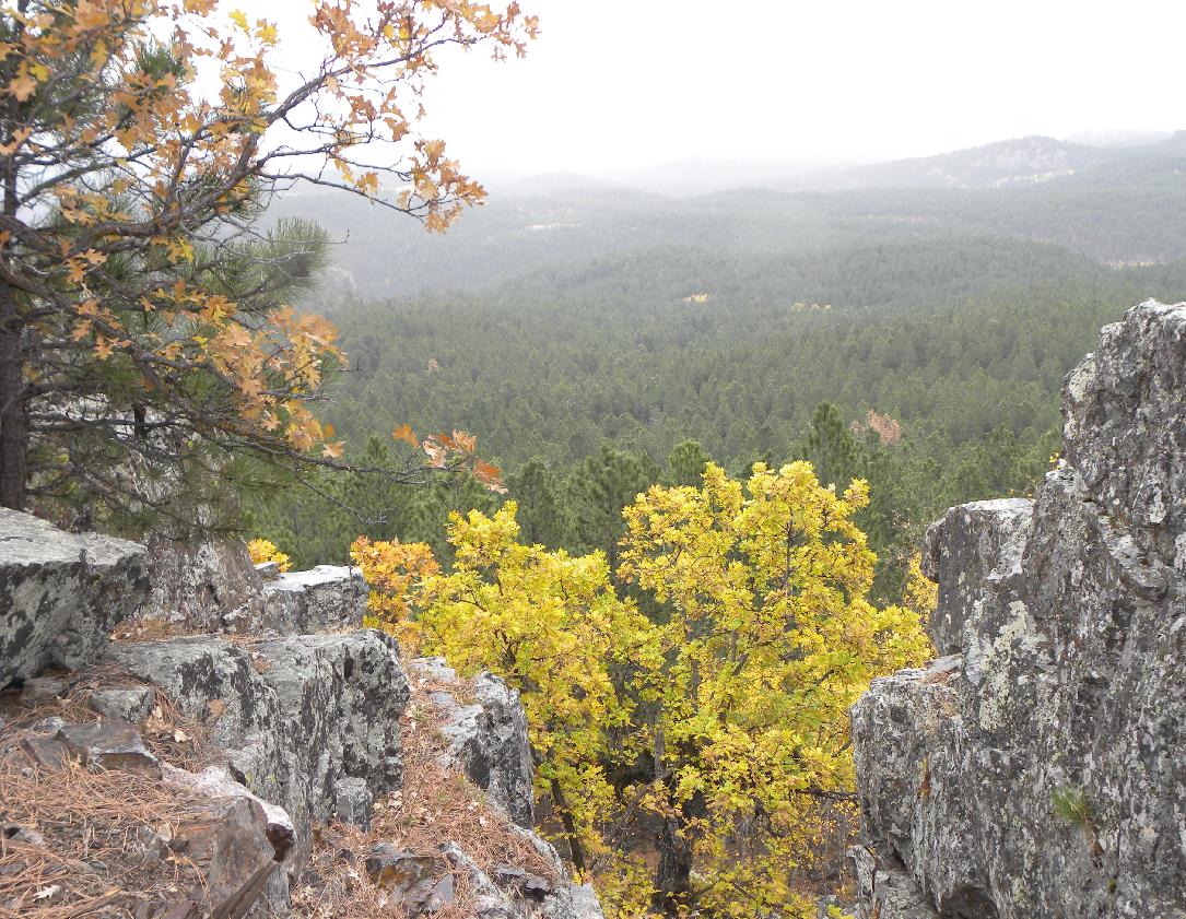
Approximately half way to the top. Looking to the northeast in the direction of Rapid City.
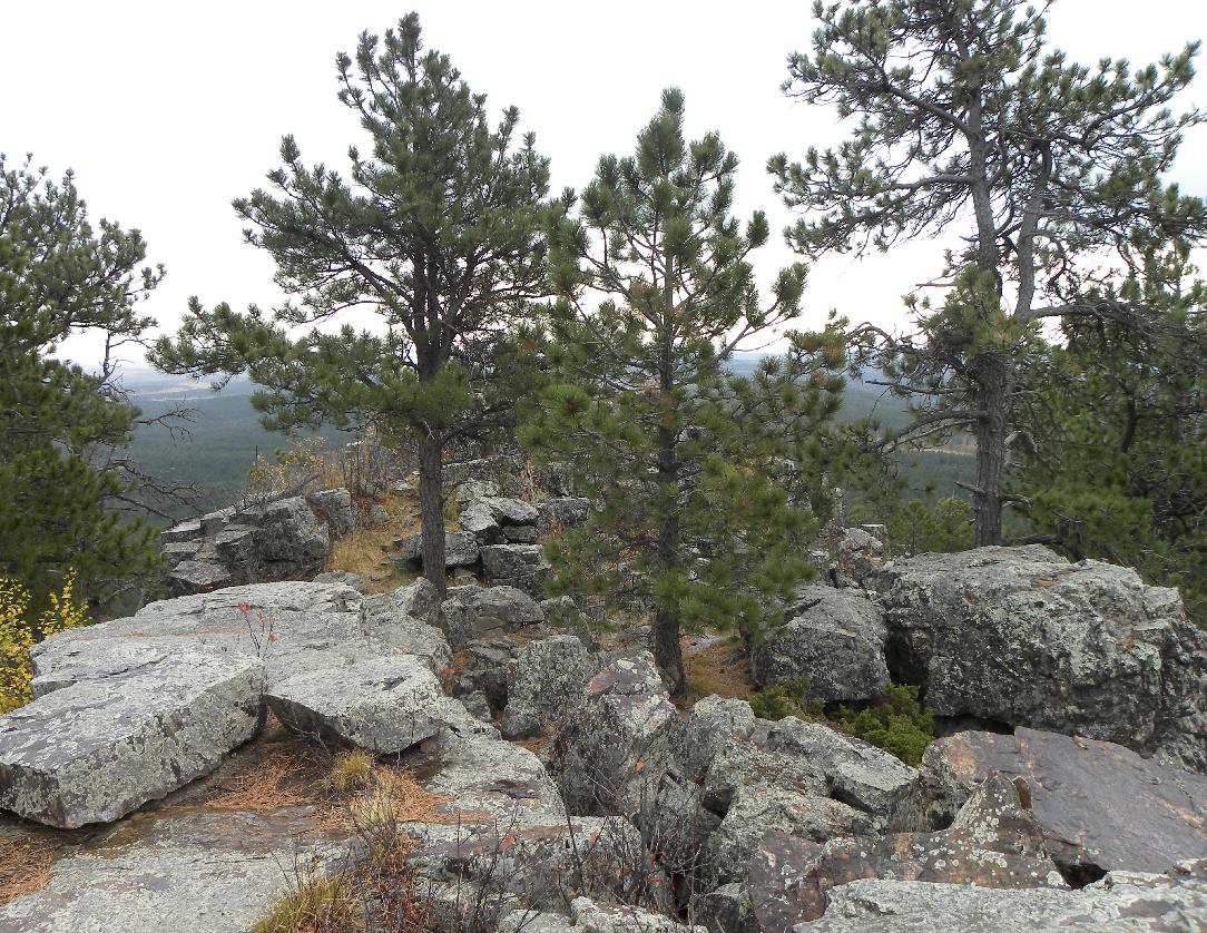
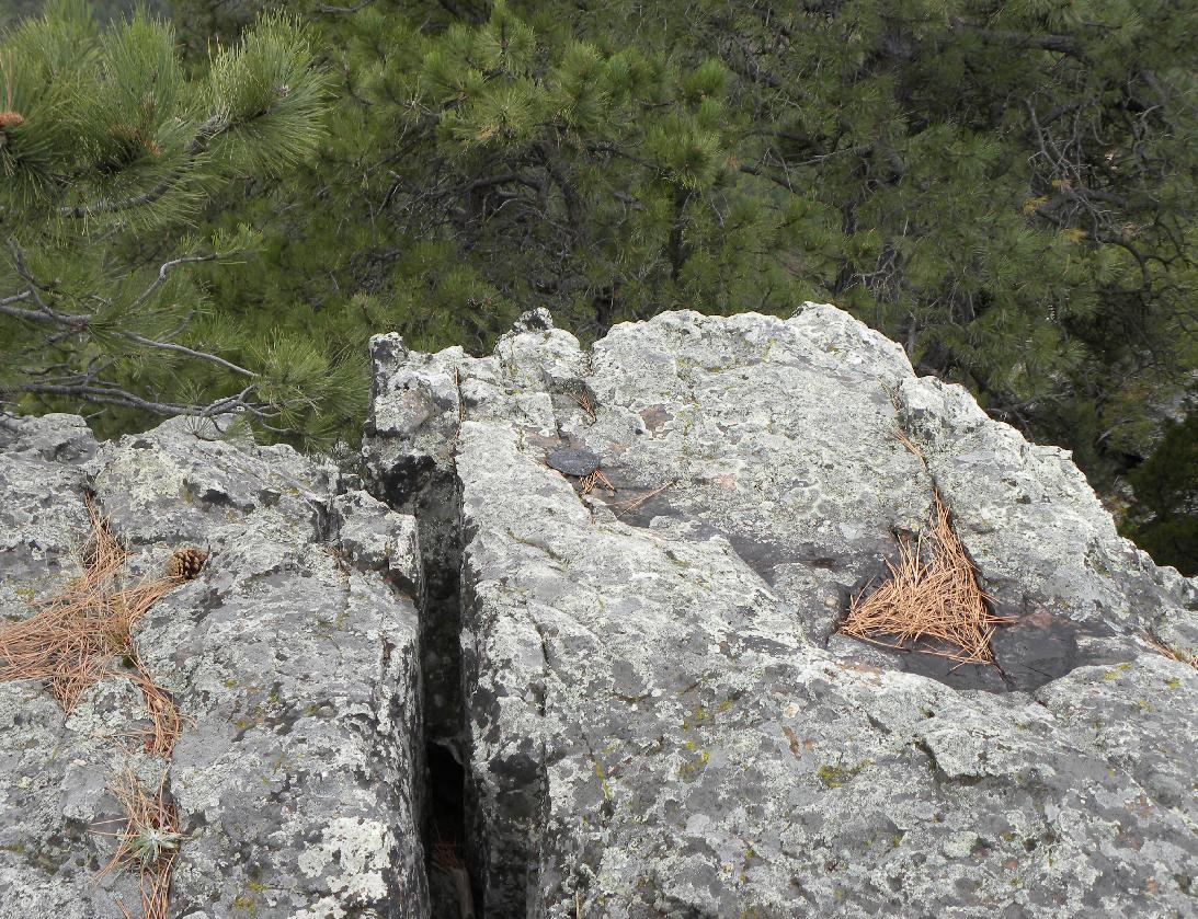
At the top of Boulder Hill.
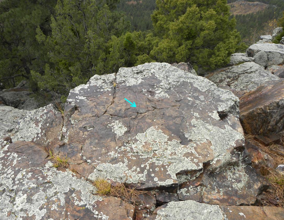
USC&GS triangulation station "Boulder".
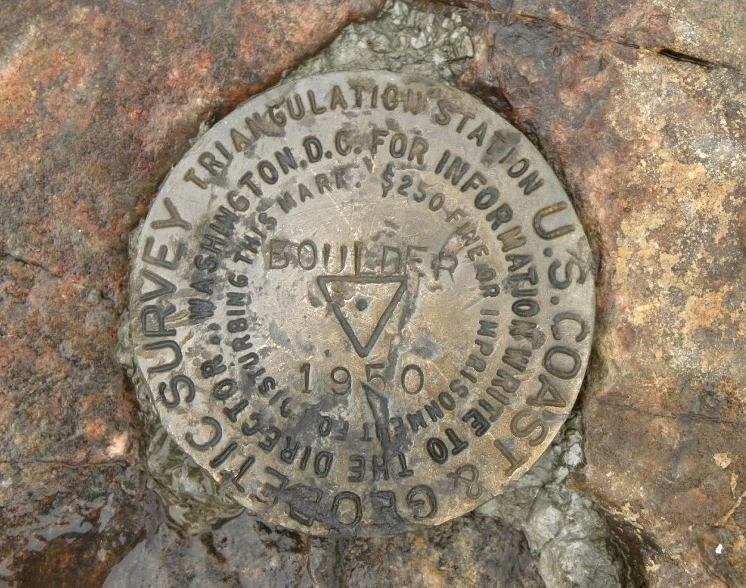
Close-up view of the 1950 brass disk monument.
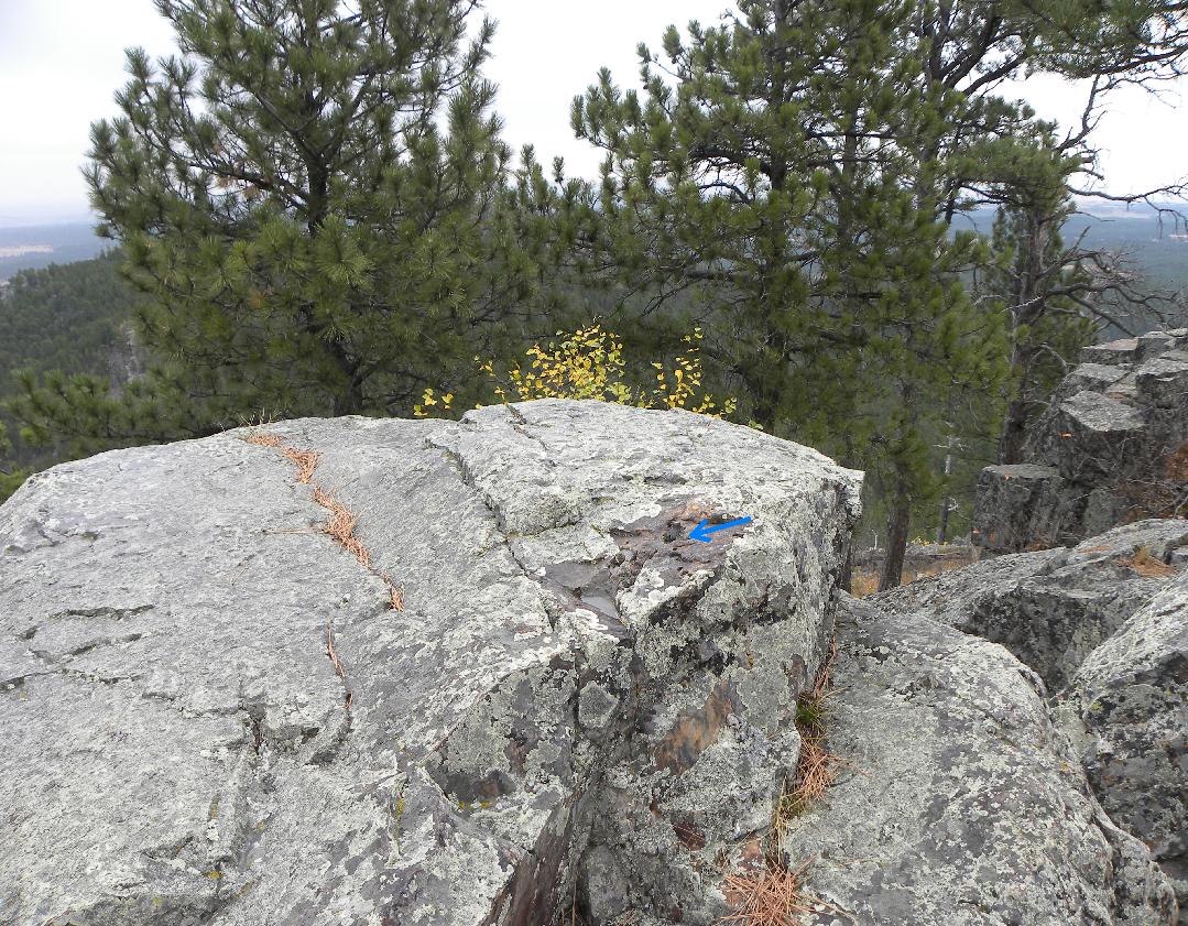
Location of Reference Mark No. 1 which has been vandalized and removed.
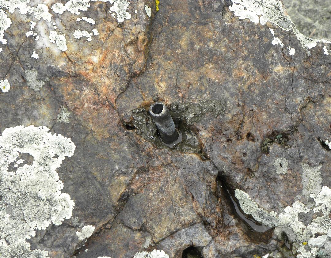
The brass stem left at the Reference Mark No. 1 location.
Reference Mark No. 2 is located to the south of the triangulation station.
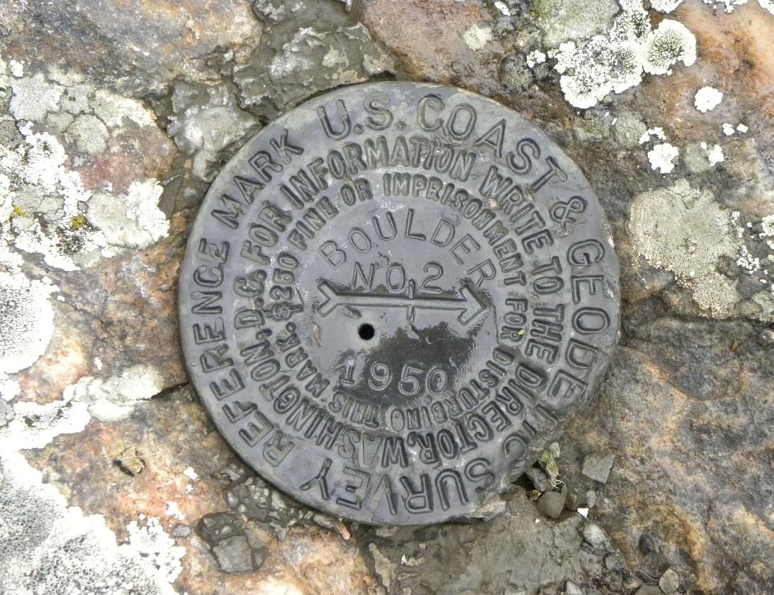
Close-up of Reference Mark No. 2.
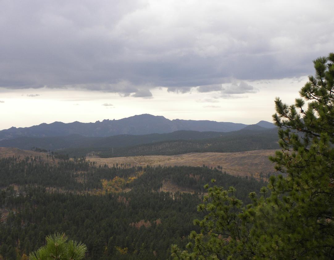
Harney Peak as viewed from Boulder Hill. It is located approximately 9 miles to the southwest.
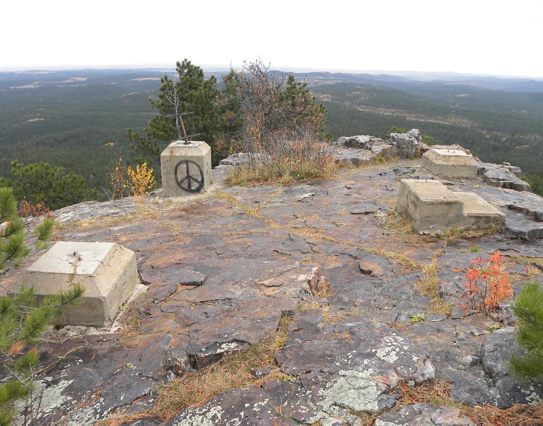
Remains of the concrete footings that once supported a fire lookout tower.
Back to USC&GS South Dakota Monuments


© Jerry Penry 2011