USC&GS Triangulation Station "TERRY 2" Jerry Penry
The first triangulation station to be placed on Terry Peak came in the year 1897 by USGS and was designated "Terry". Next came a triangulation station desiganted "Terry" and a nearby Reference Mark by USC&GS in 1912. The triangulation stations by these agencies were approximately 64' apart in a north-south direction.
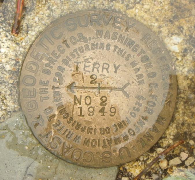
Due to various construction projects on the peak, including lookout towers, the 1897 mark and both 1912 marks were destroyed. Then in 1949, USC&GS established another triangulation, designated "Terry 2" at a location that was approximately 4 feet south of their original mark. Three Reference Marks have also been established for "Terry 2".
On May 30, 2013, Kurt Luebke, Jenny Stukel Penry, and myself drove to the top of Terry Peak from the road coming up from the south. We first located the Azimuth Mark which was established in 1949. When we reached the top, it was a miserable day with rain and very high winds. We confirmed the existence of triangulation Station "Terry 2" as well as Reference Mark No. 2. All other monuments that have been associated with being on the top of Terry Peak have been destroyed.
1949
May 30, 2013
Terry Peak in the Black Hills of South Dakota is widely known for its popular ski slopes which dates back to 1936. The mountain was named for Civil War General Alfred H. Terry who was military commnader of the Dakota Territory from 1866-1869 and from 1872-1886. The peak ranks 5th for the highest points in the Black Hills at an elevation of approximately 7,064 feet.
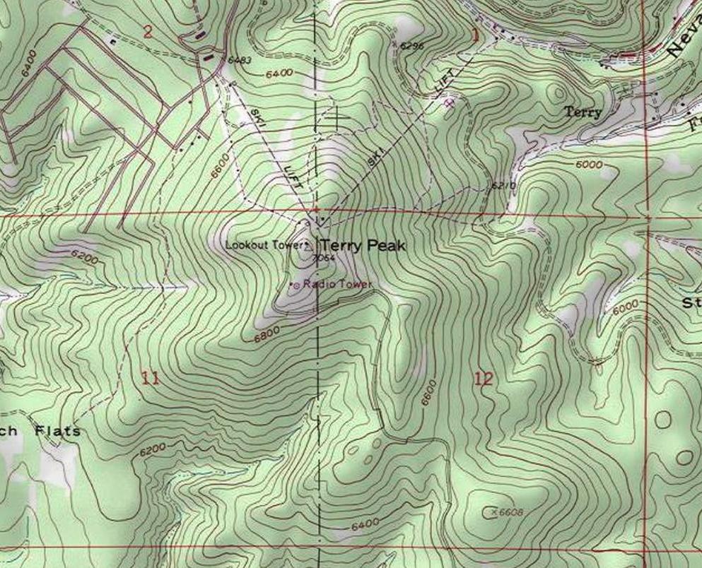
The location of Terry Peak as shown on the USGS 7.5-minute quad sheet.
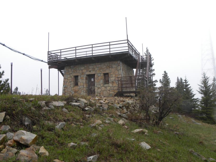
The lookout tower on Terry Peak occupies the location where the original 1897 triangulation station by USGS was placed and also the location where the 1912 USC&GS Reference Mark was placed.
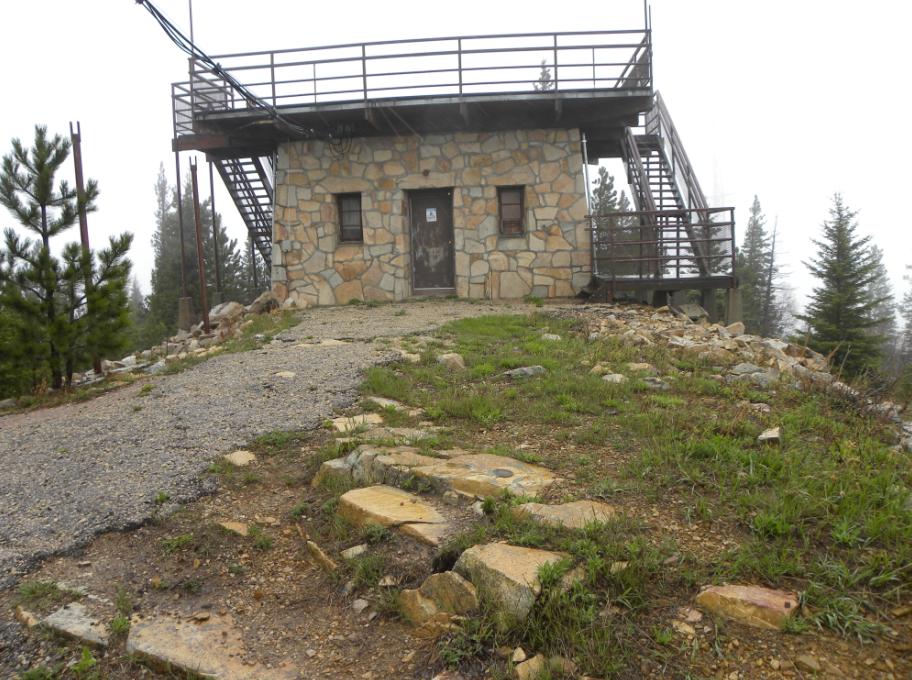
Looking toward the southeast corner of the tower.
The lookout tower as viewed from the south. The triangulation station "Terry 2" is in the foreground.

The triangulation station "Terry 2" while looking southeast.

Triangulation station "Terry 2".
Reference Mark No. 2. (Covered with water from rain).
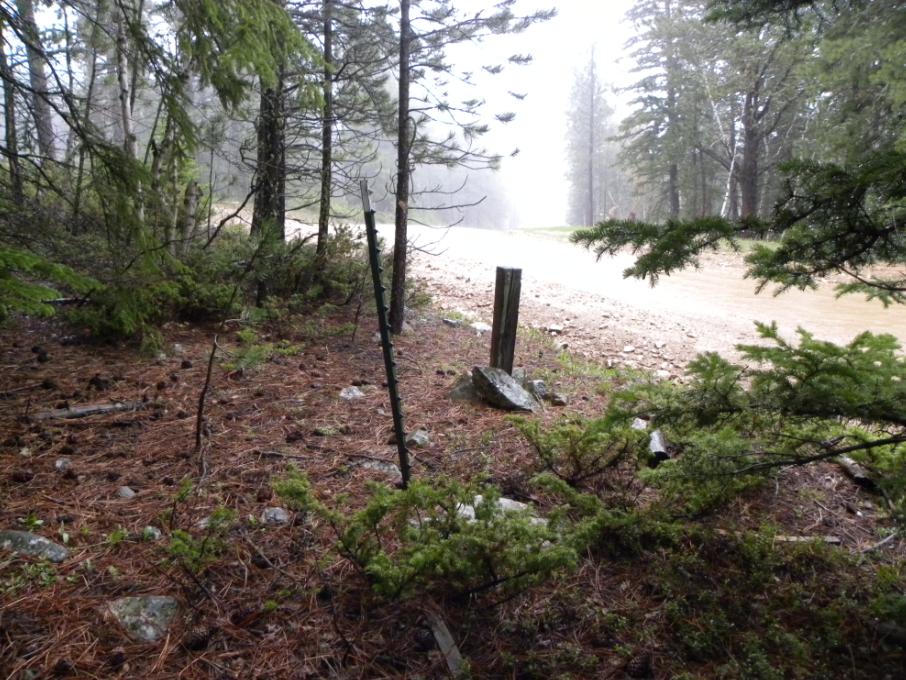
The Azimuth Mark is at the lower right of the steel fence post.
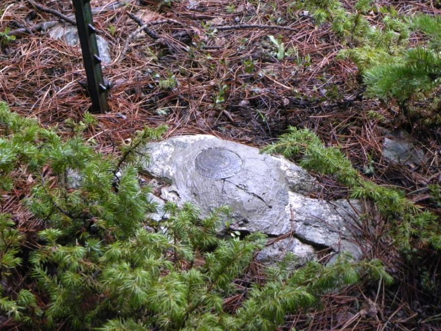
The Azimuth Mark set in a rock along the service road.
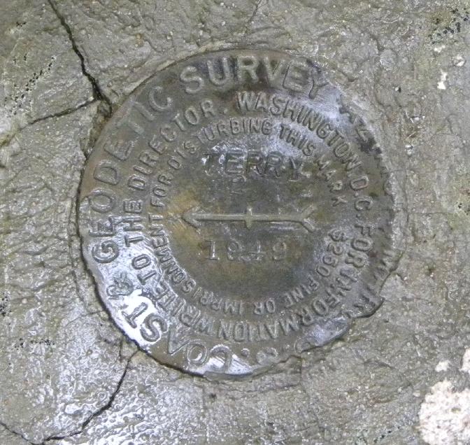
Closeup of the Azimuth Mark.
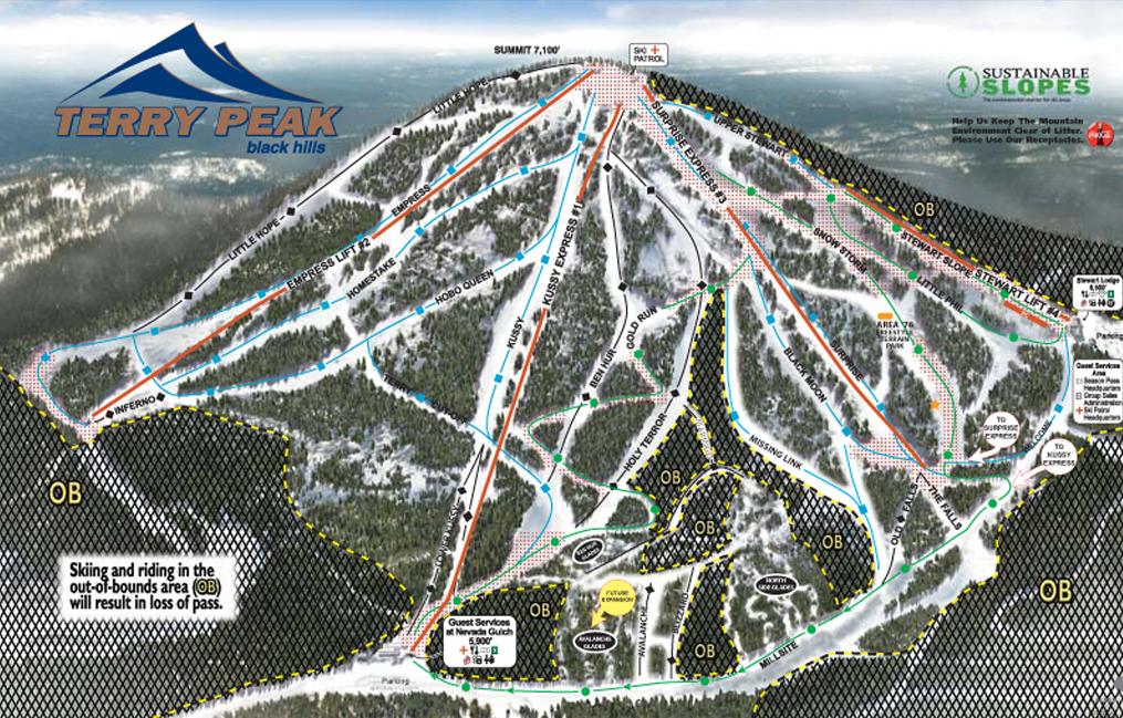
A map of the north side of Terry Peak showing the various ski slopes.
Image courtesy of SkiCentral.com
http://skicentral.com/terrypeak-trailmap.html
Back to USC&GS South Dakota Monuments


© Jerry Penry 2013