USGS
BENCH MARK
10271913
Jerry Penry
January 21, 2013
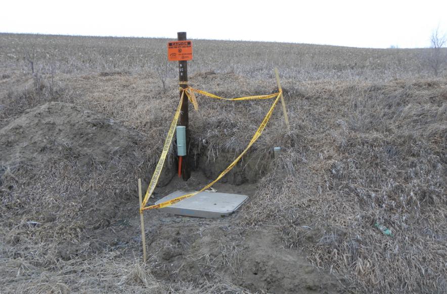
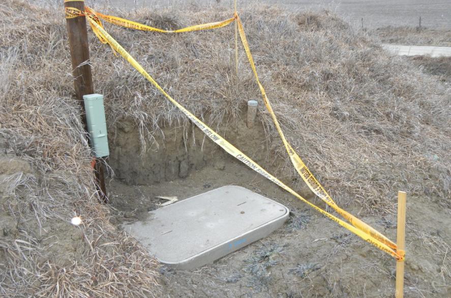
Bench Mark 1027 was established in 1913 during the quad sheet mapping in southeast Nebraska. The location is 3 miles east and 6 miles north of Falls City, Nebraska at the northwest corner of a county road intersection. The intersection is common to Sections 7, 8, 17, and 18 in T2N, R17E. It has been recently exposed by a utility company during the installation of an underground junction box. Recovered by Jerry & Jenny Penry and Gene Thomsen.
Looking northwest toward the bench mark.
Looking northeast toward the bench mark.
Side view of the exposed bench mark.
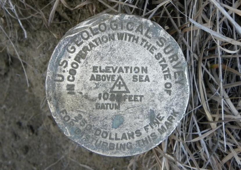
Close-up of the bench mark cap.
Back to USGS Bench Marks.

© Jerry Penry 2013