USGS - USC&GS
Triangulation Stations
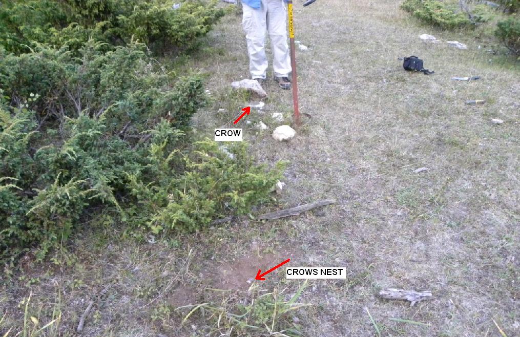
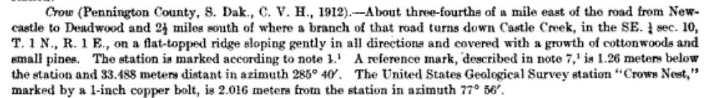
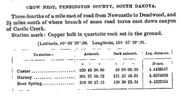
"CROWS NEST" - "CROW"1897 & 1912
Jerry Penry
September 4, 2010
Two survey points are on the same hill only 6.61 feet apart. In 1897, the U. S. Geological Survey established triangulation station "Crows Nest". The monument placed was a 1-inch diameter copper bolt. Fifteen years later, the United States Coast & Geodetic Survey established their own triangulation station, a bronze disk, and designated it "Crow".The two points are both listed in the NGS database as PU2345 for "Crow" and PU2344 for "Crows Nest". A third description is PU2343 for the steel tower designated "Crows Nest Lookout Tower" which was built over station "Crow". The tower was described as being a 4-legged steel structure, about 70 feet high, with a screened-in lookout on the top. Upon reaching the site, the tower was gone, but the four angle iron leg posts were still visible just above the ground.
When Kurt Luebke and I hiked to this location, it was already starting to get dark and we needed to allow enough time to get back down through the forest. Unfortunately, we did not have enough time to thoroughly search for the two reference marks which were in overgrown areas. We did happen to walk right by the azimuth mark on our way back. We made our camp about a half mile away that night.
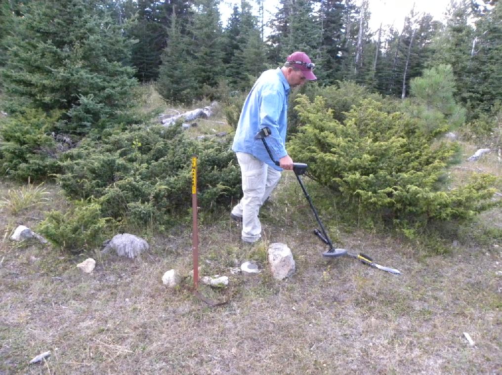
Kurt Luebke using the metal detector to begin the search for the 1897 USGS copper bolt that marks "Crows Nest".
The bronze disk set in 1912 by USC&GS marking their station known as "Crow".
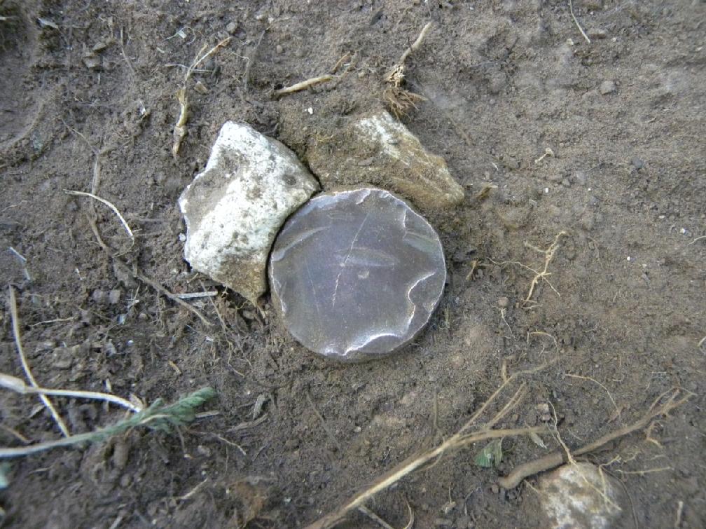
The monument set by USGS in 1897 which they designated "Crows Nest".
Comparison of the size of the copper bolt with a quarter.
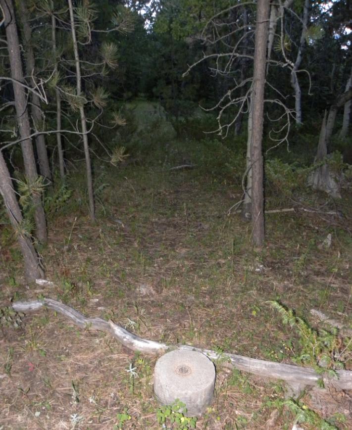
Both triangulation stations. USGS station "Crows Nest" (lower) and USC&GS station "Crow".
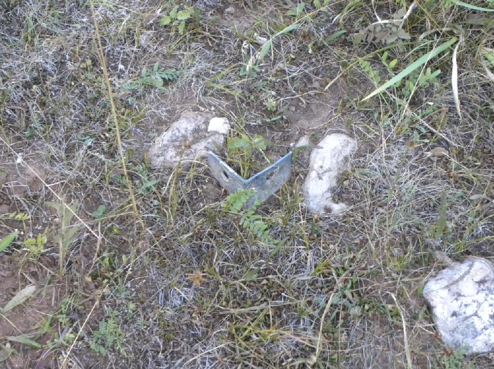
One of the four tower legs that was still in place.
The azimuth mark for USC&GS station "Crow". (Getting dark outside!)
Azimuth mark disk. It appears that it was first stamped "1950" for the year and then changed to "1912".
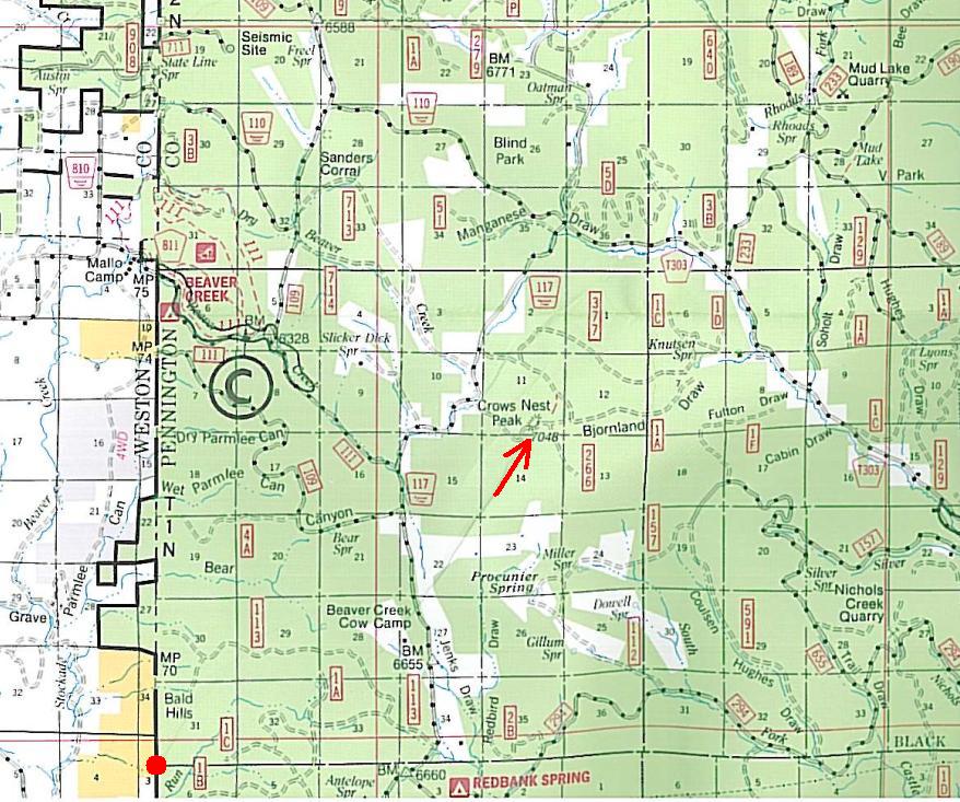
Black Hills Forest map showing the location of "Crow" & "Crows Nest". The red dot in the lower left corner is the Initial Point for the Black Hills Meridian.
Original description for USC&GS triangulation station "Crow".
Triangulation map by USC&GS showing both monuments.
The original USGS description for "Crows Nest" that was established in 1897.
Back to USGS Black Hills Triangulation

© Jerry Penry 2010