USGS
Bench Mark
"DW 5743"ca. 1898
Jerry Penry
February 18, 2012
This bench mark will require a future search after the snow has melted. The location is approximately 6 miles south of Deadwood and along the former grade of the Black Hills & Fort Pierre narrow gauge railroad. The location is near a very tight loop where the track crossed a small ravine. The town of Woodsville to the west no longer exists and the town of Brownsville to the east is only a collection of a few houses and businesses. The BH&FP Railroad in this area carved its way through the upper portions of the Black Hills while having to blast its way through rock and make many tight curves, loops, and steep grades. Some parts of the grade likely exceed 4-percent. The eastern portion of this railroad washed out in 1907. This portion was removed in 1930. Searched for by Jerry Penry and Jenny Stukel.
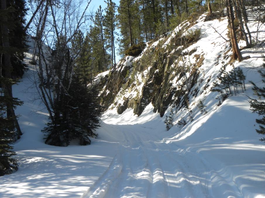
Cut through a rock hill along the former railroad grade about one mile east of the bench mark.
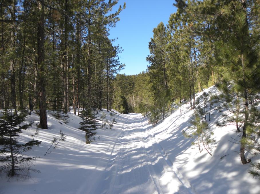
Another view along the old railroad grade approaching the bench mark location.
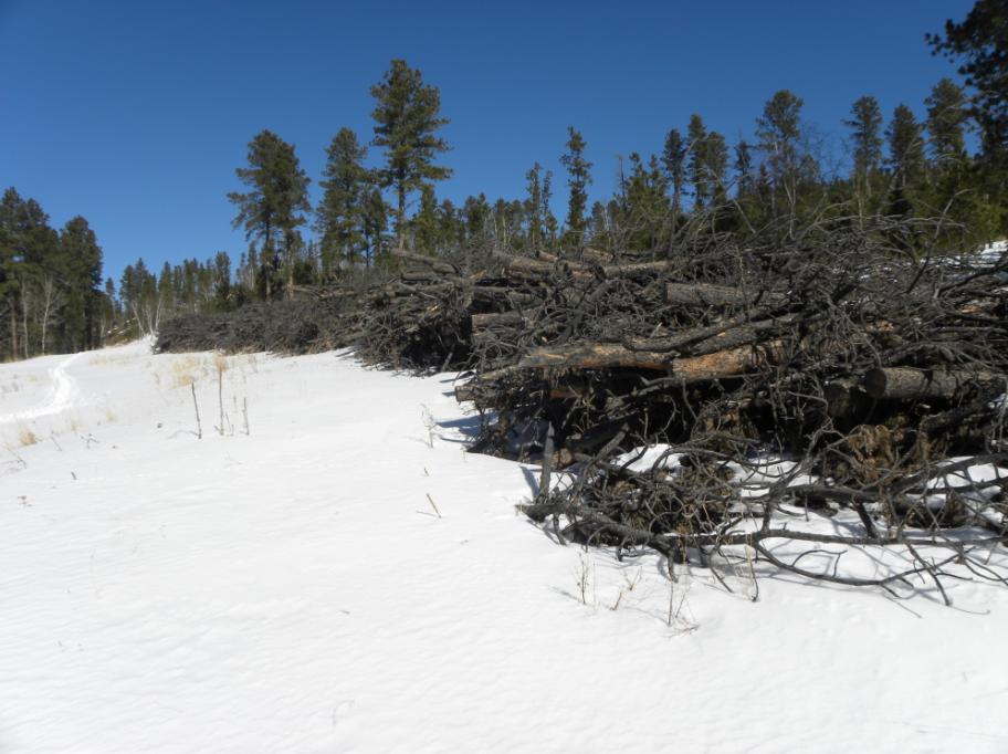
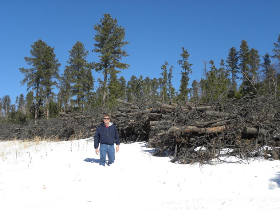
The location where the bench mark, an iron post, should be located. The Forest Service has cut down and piled trees in this area for future burning.
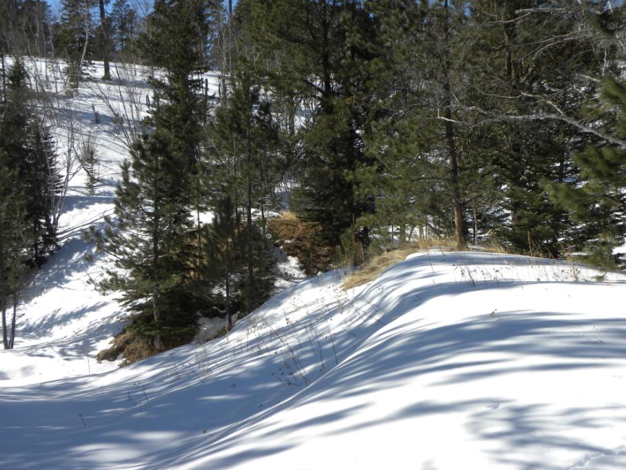
The location of a tight loop on the railroad where a bridge was once located.
Just west of the bench mark location.
Jerry in the snow where the bench mark should be located. It could still be there hidden by the snow.
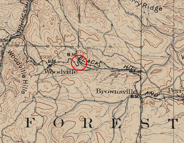
The location on the USGS 1898 "Deadwood" quad sheet. The location is under the letter "B" on the word "BLACK".
Other Deadwood Datum Bench Marks
© Jerry Penry 2012