USGS
Bench Mark
"DW 6273"ca. 1898
Jerry Penry
September 25, 2015
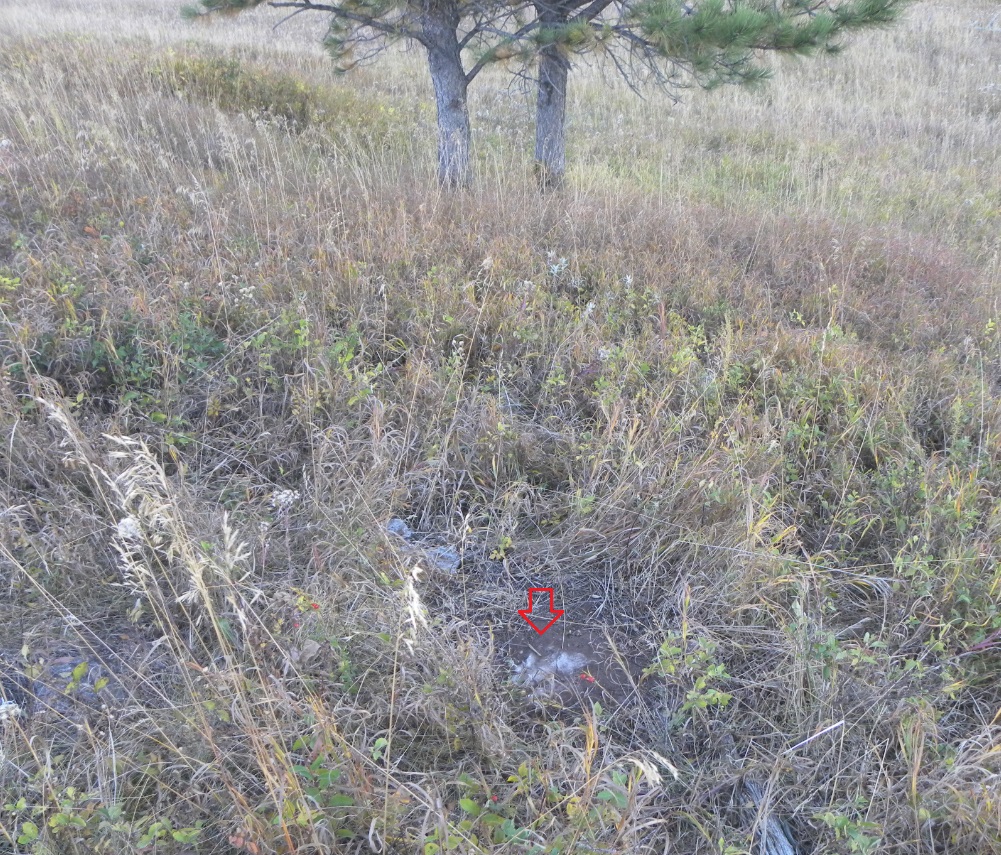
This copper bolt bench mark was placed in a small limestone outcropping measuring only 18"x24" and was said to be 65' south of a cabin which was historically known as the Moon Ranch. Two pine trees were also referenced as witness trees. The first tree was a 10" pine 170' to the north and the other was a 24" pine 85' to the west. The stump was found for the 24" pine. After a considerable amount of searching by Dave Ingram, Kurt Luebke, and Jerry Penry, few physical objects made sense. Dave finally surmised that a small muddy area might be below a limestone outcropping and he was correct. The bench mark was found covered in grass and dirt, but in good condition. To the north of the bench mark was a depression in the side of the hill which might have been the location of a cellar for the cabin. A newer ranch is located approx. 200 yards south of the bench mark, but is currently vacant.
The early USGS quad showing the location of DW 6273.
A modern aerial view showing the bench mark in relationship to the newer ranch.
Looking south over the bench mark toward the ranch buildings.
Top view of the copper bolt.
Close up view of DW 6273 which was set in 1898.
Looking north over the location of the bench mark.
The stump of the 24" witness tree located 85' to the west. No discernible markings were found.
The original USGS description for the bench mark.
Other Deadwood Datum Bench Marks
© Jerry Penry 2015