

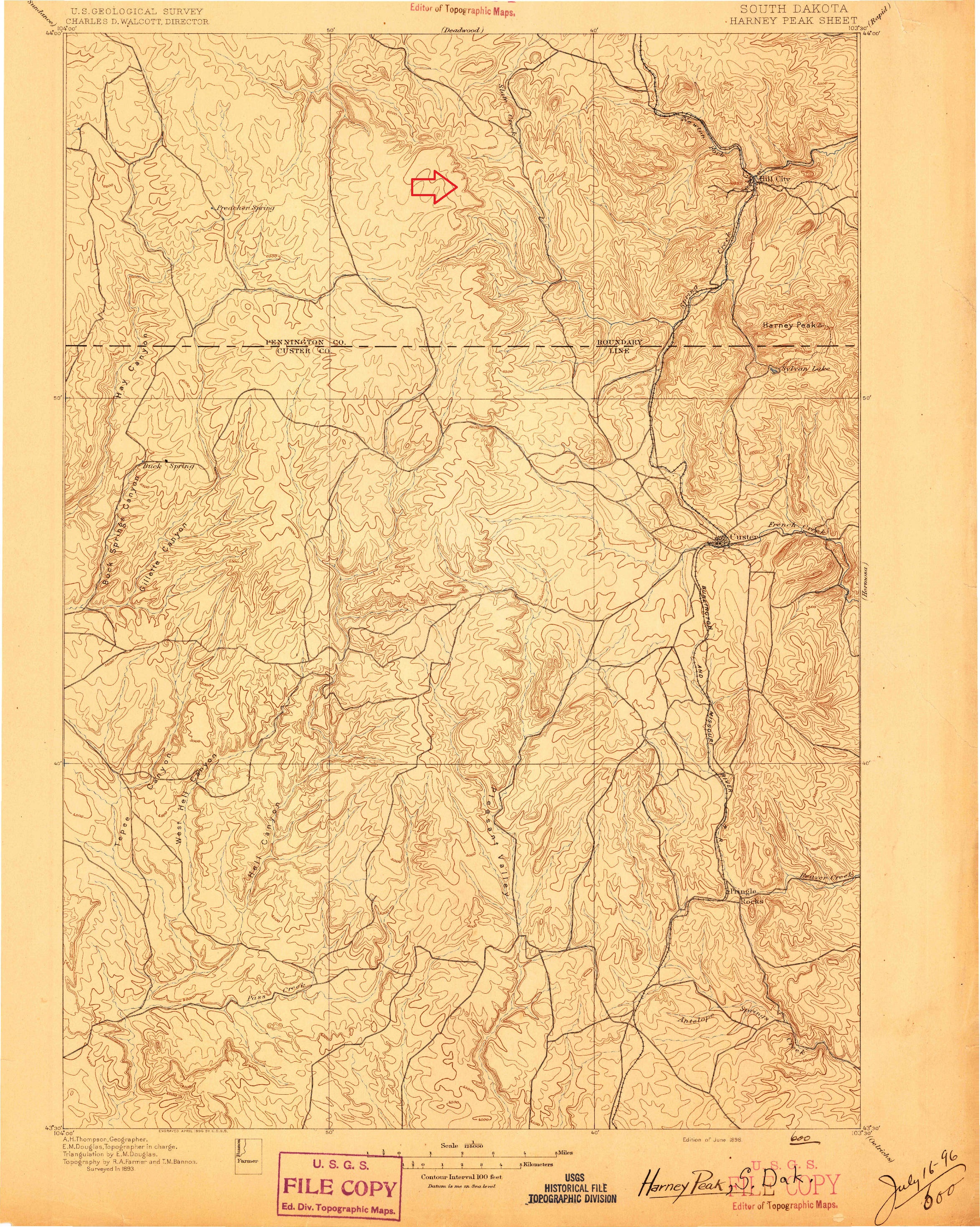
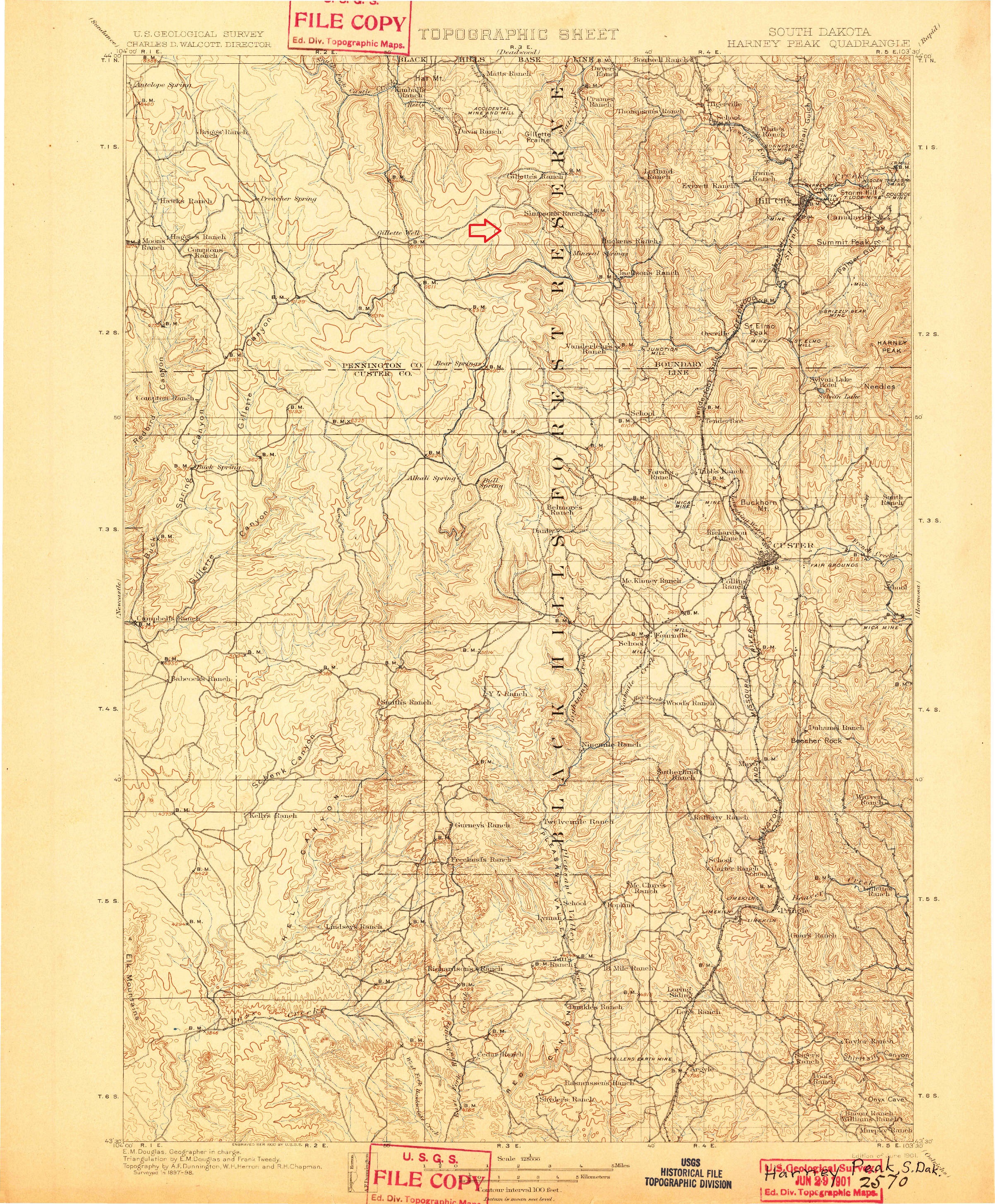
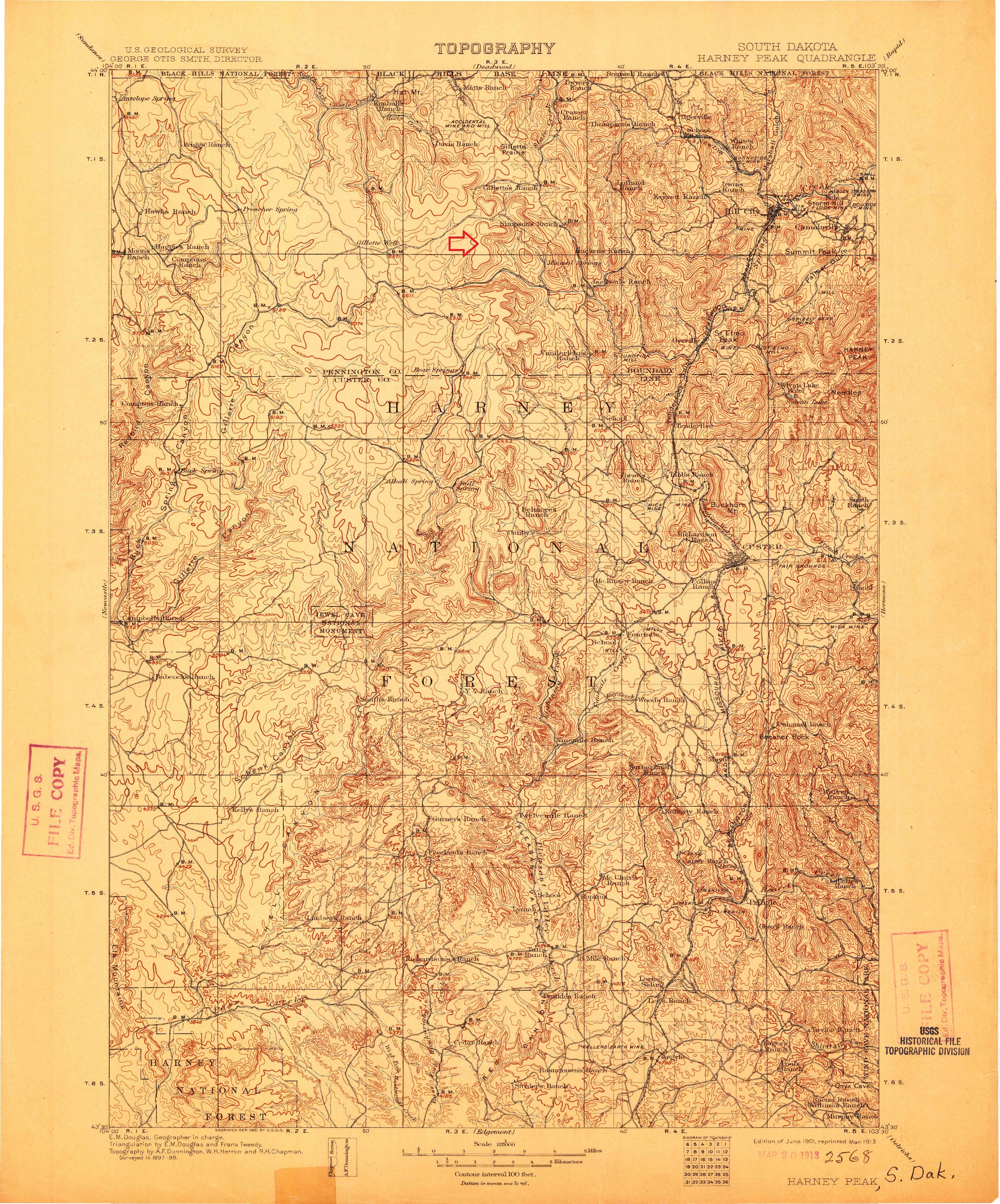
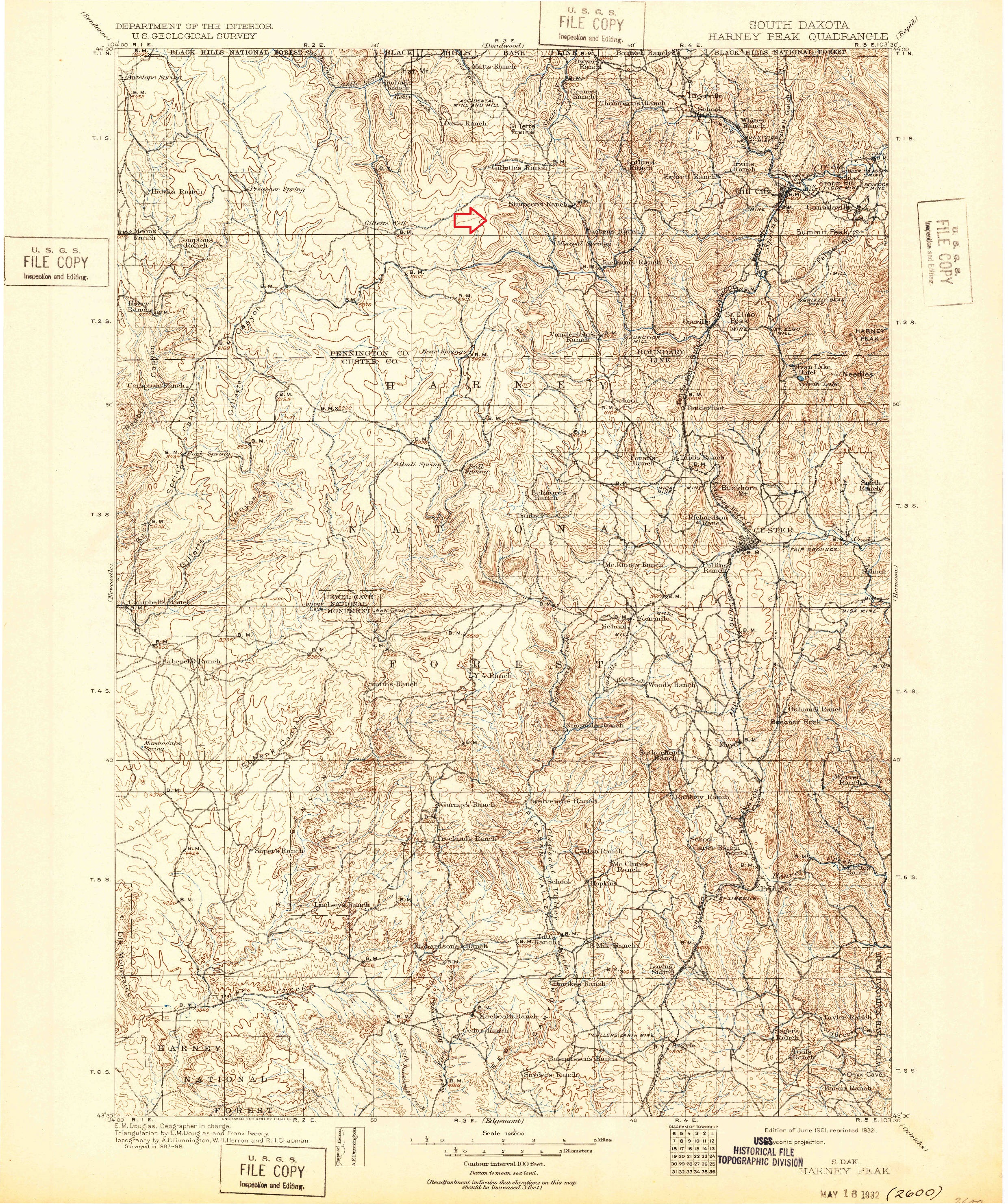
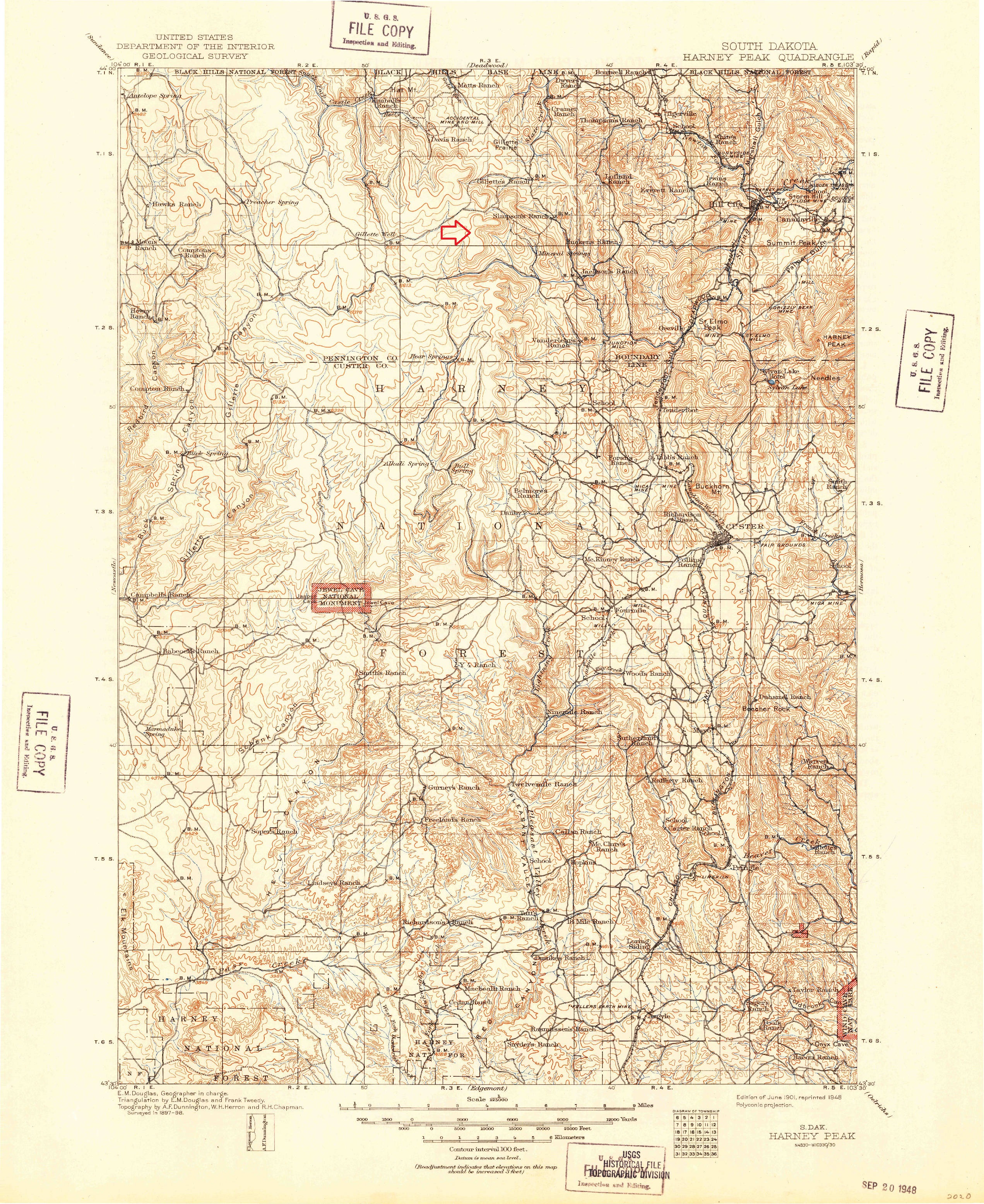
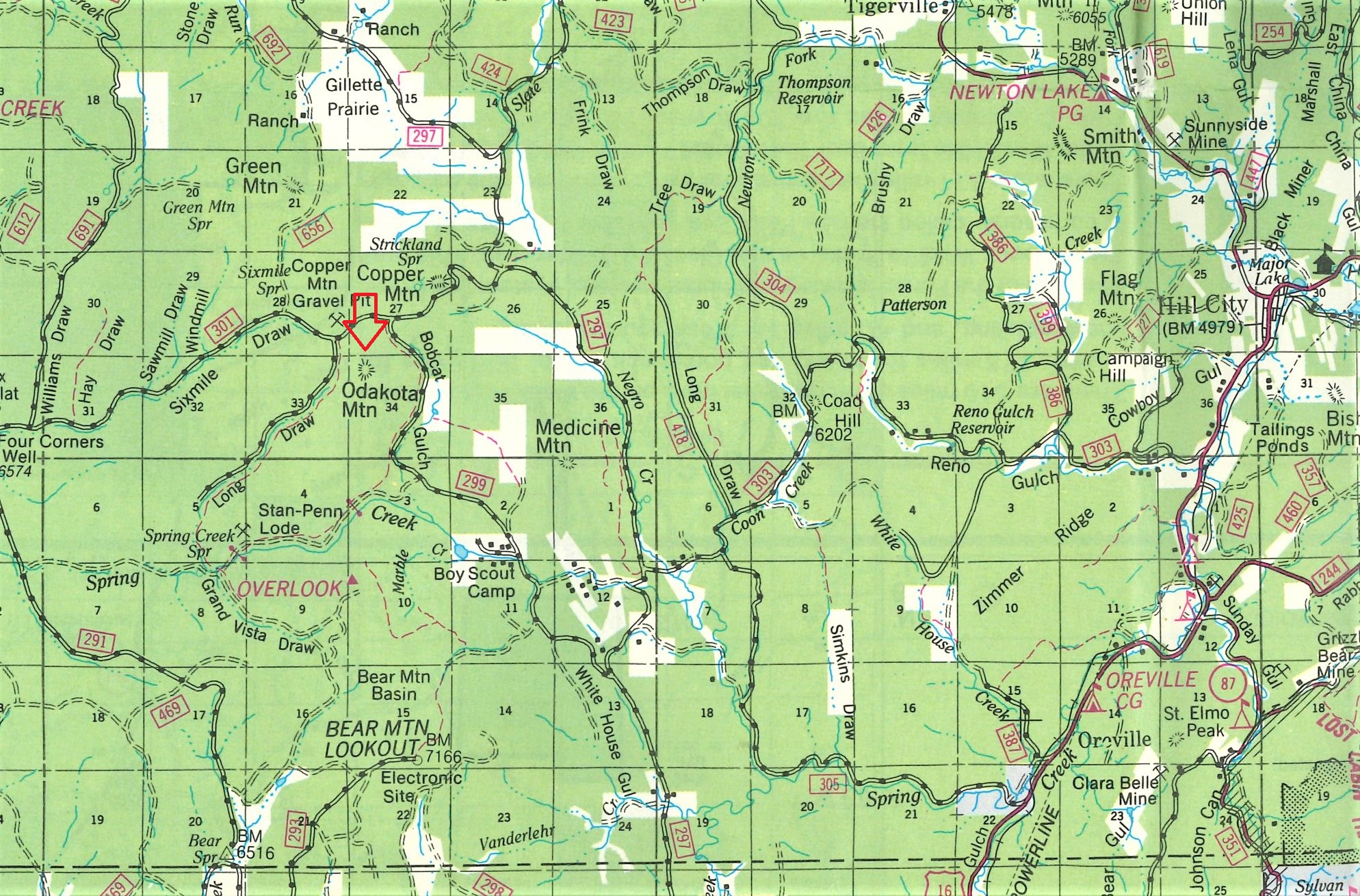
MAPS SHOWING THE LOCATION OF ODAKOTA MOUNTAIN.
The above 30-minute U. S. Geological Survey maps are the earliest of the area.
Odakota Mountain is not named on any of them.
The red arrow points to the approximate location of the peak.
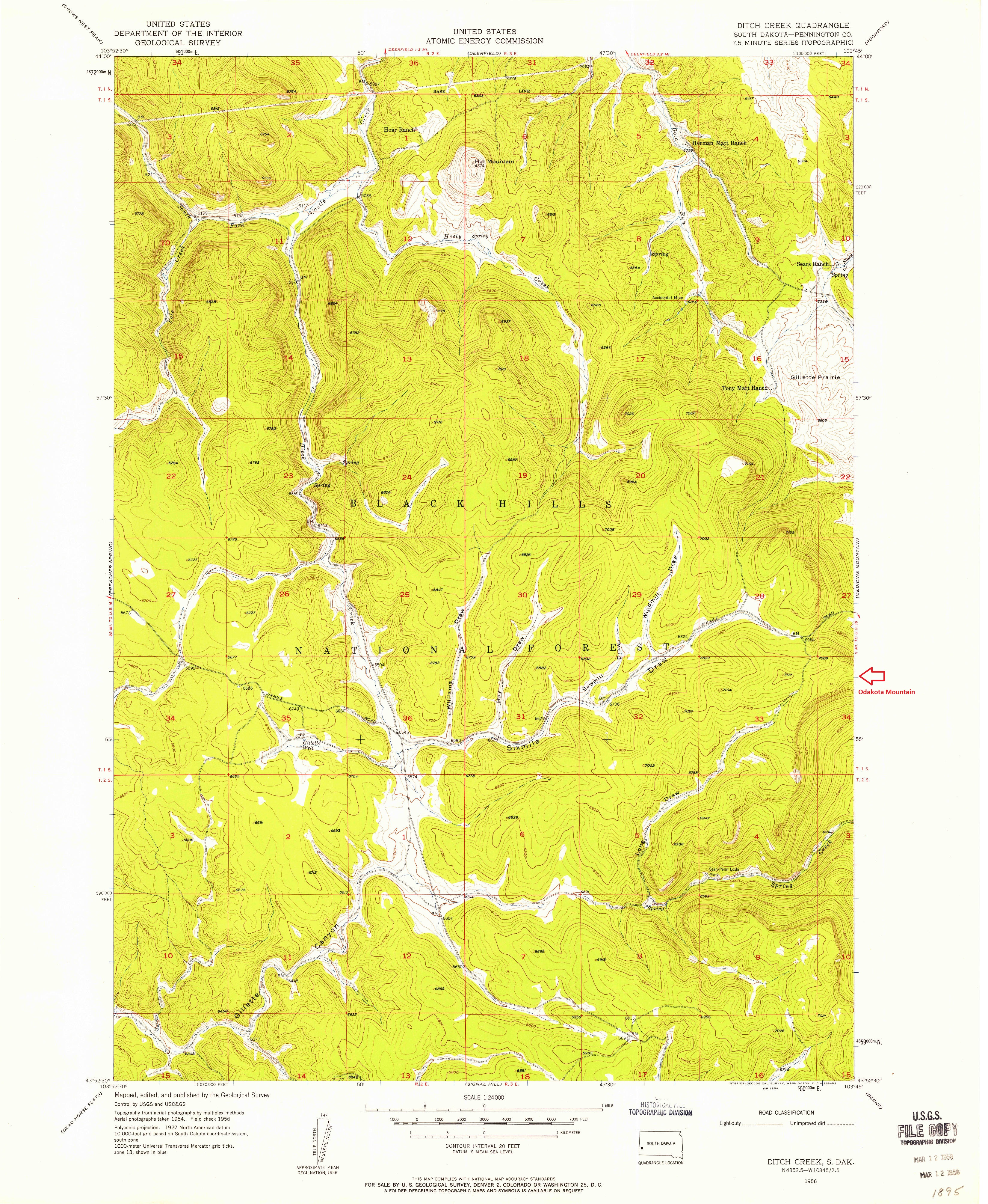
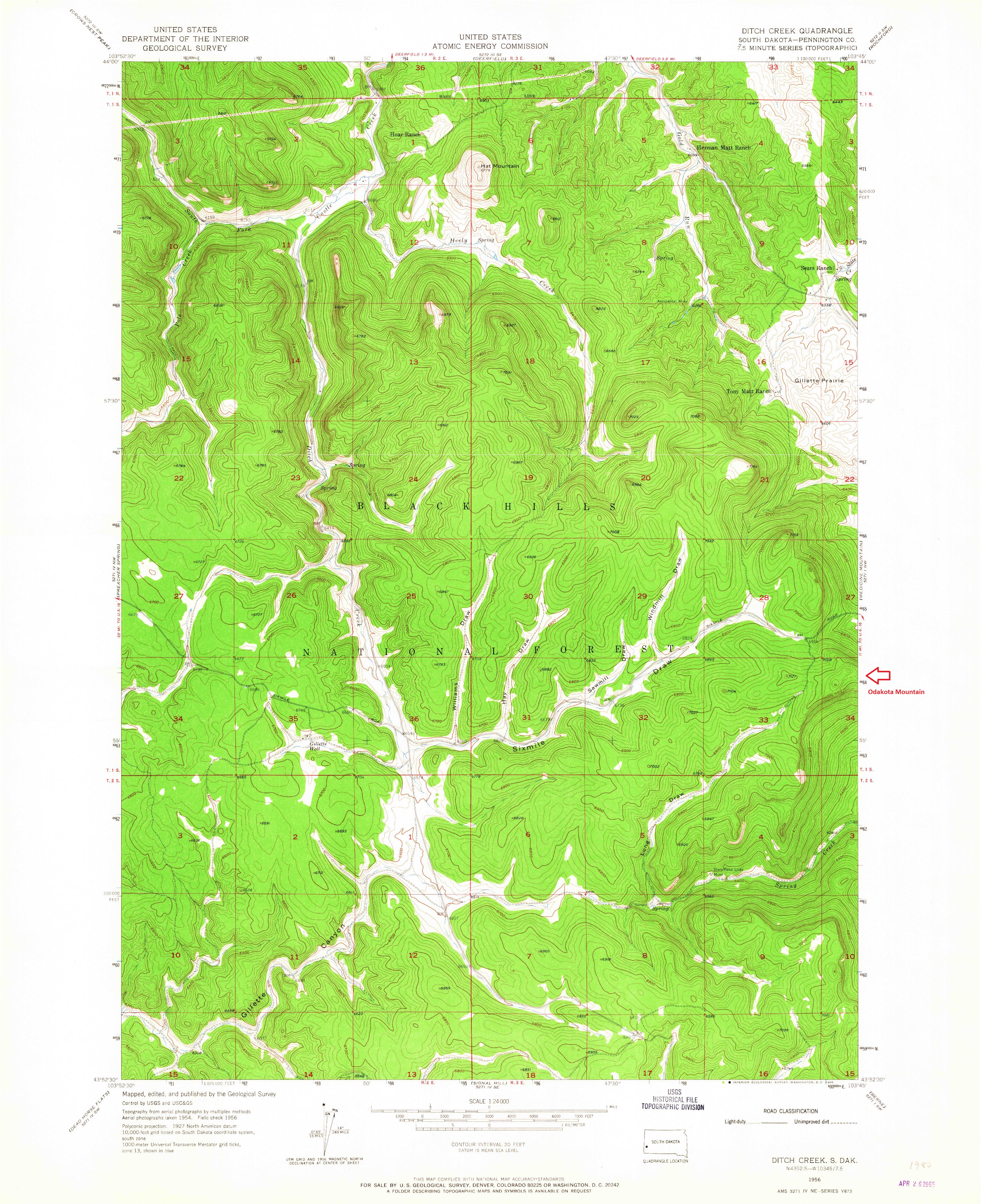
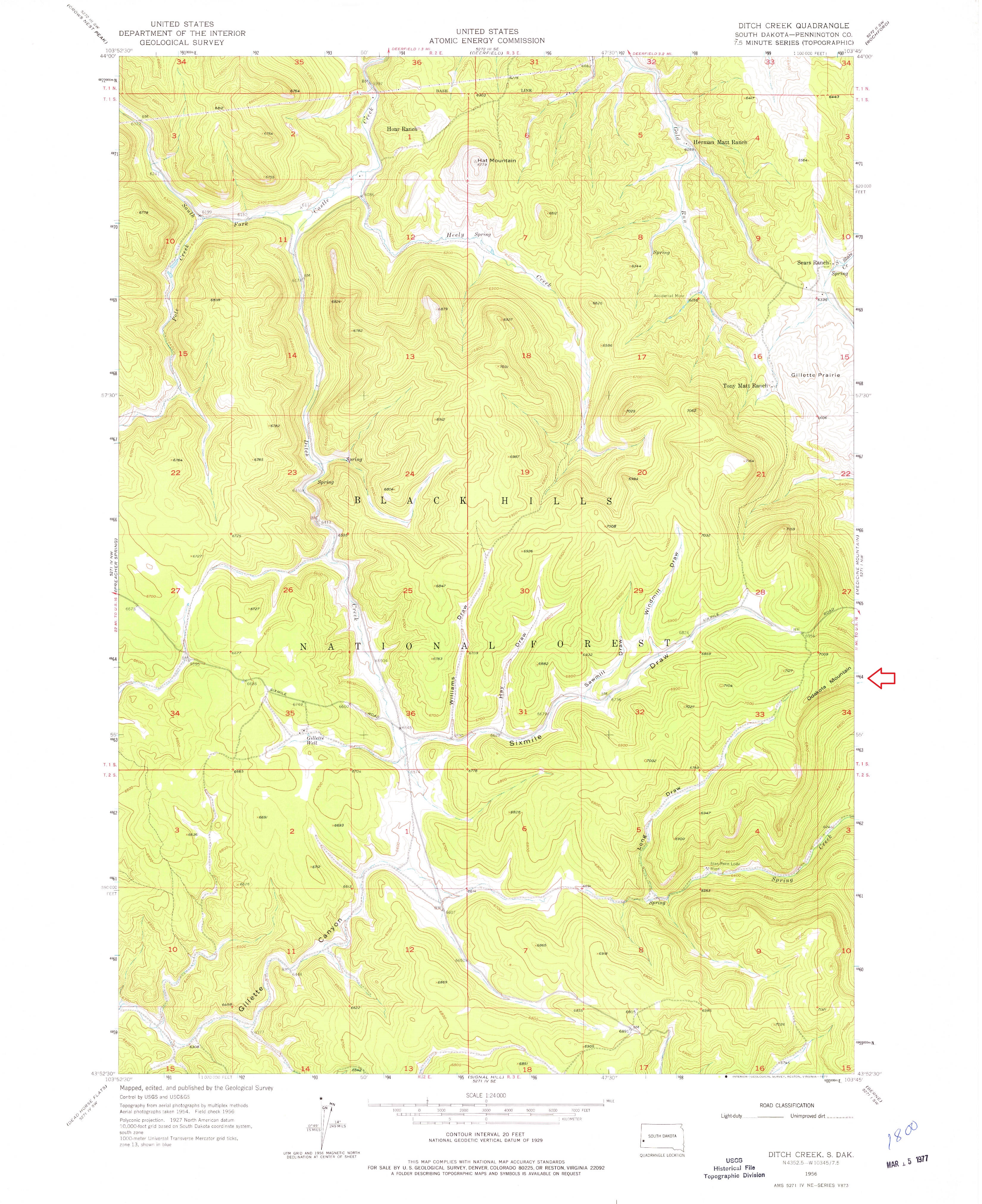
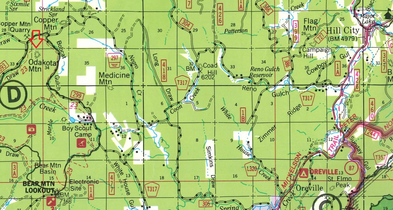
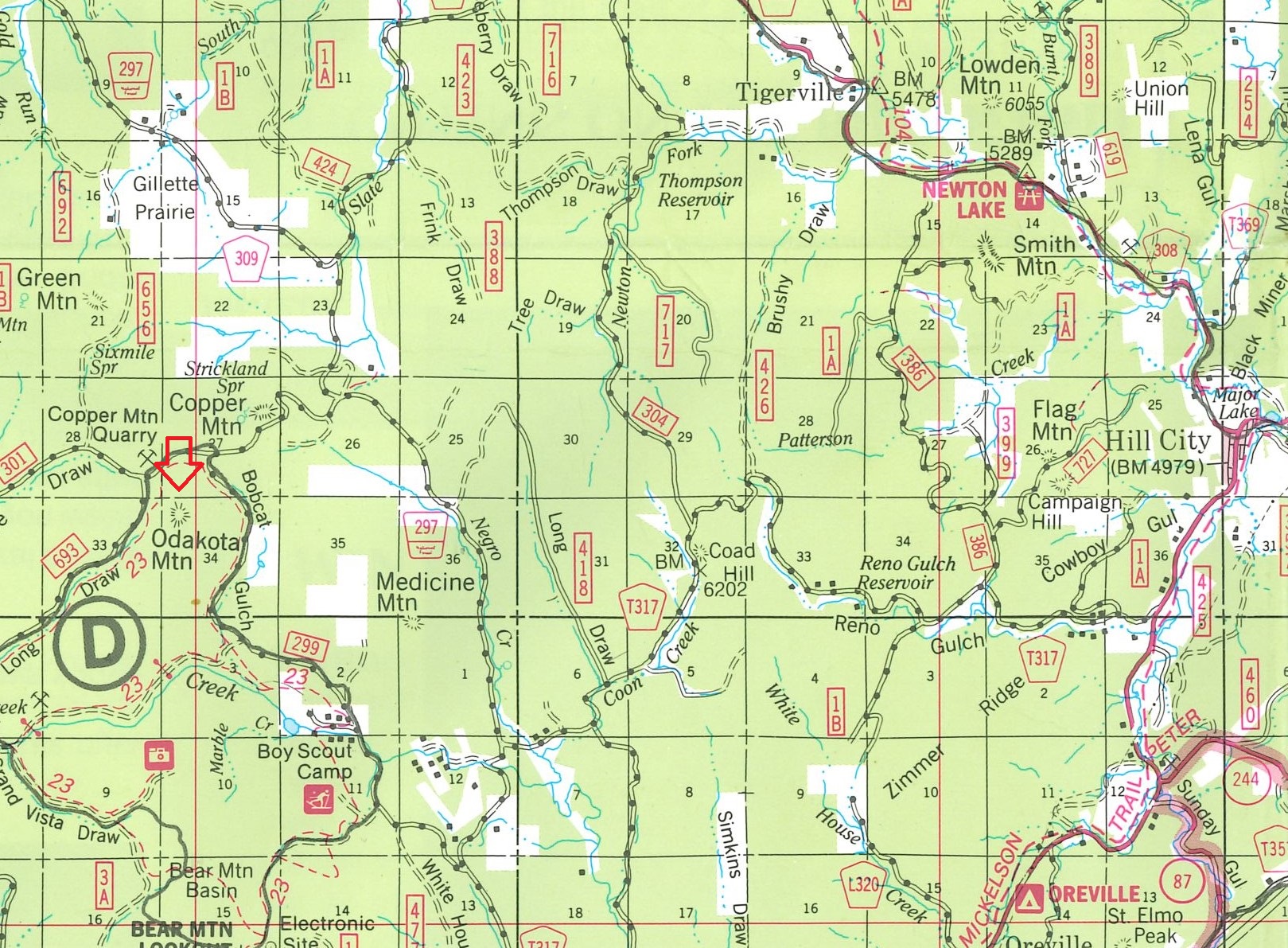
The above 7.5-minute U. S. Geological Survey quadrangle sheets represent the "DITCH CREEK, S. DAK." area.
The 1965, 1977 and 1981 editions are reissued with changes from the original 1956 map.
The "Odakota Mountain" name first appears on the 1977 edition.
Due to the file size, only a partial image is shown for the 2015 and 2017 editions.
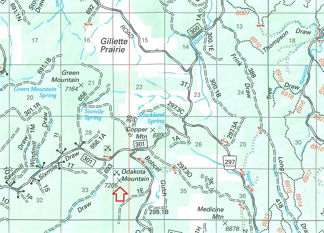
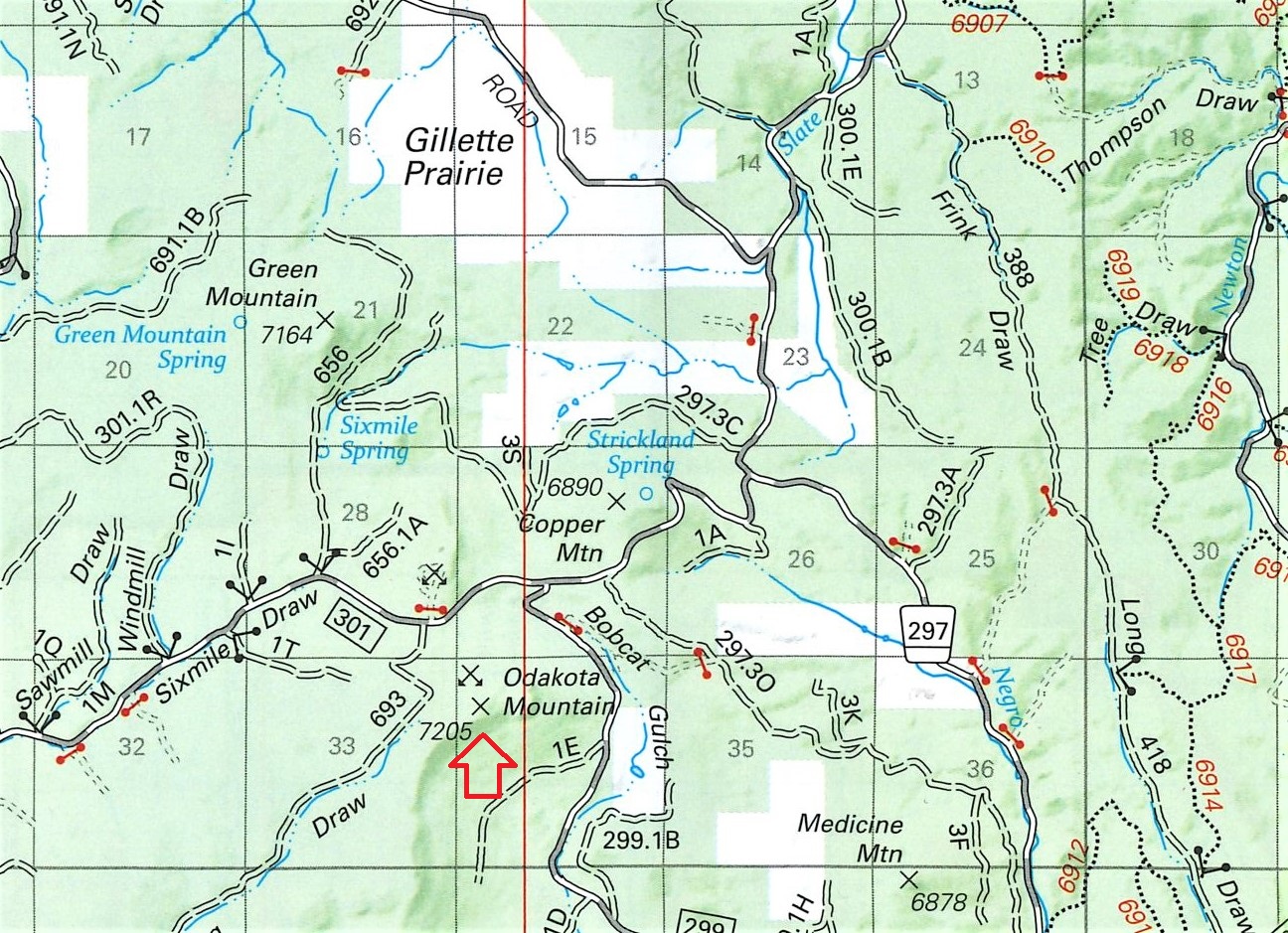
The above maps are portions taken from the Black Hills National Forest maps.
The name for Odakota Mountain" first appeared on the 1988 map.
The elevation of 7205 first appeared on the 2014 map.
© Jerry Penry 2019
Please contact before using text or images from these webpages.