U. S. Coast & Geodetic Survey "BRAYTON" Jerry Penry
Triangulation station "Brayton" was so named because of a nearby railroad town in central Nebraska that once held that name. The town never reached a population of more than 75 residents and finally lost its post office in the 1940's. Today both the town and the railroad are gone.
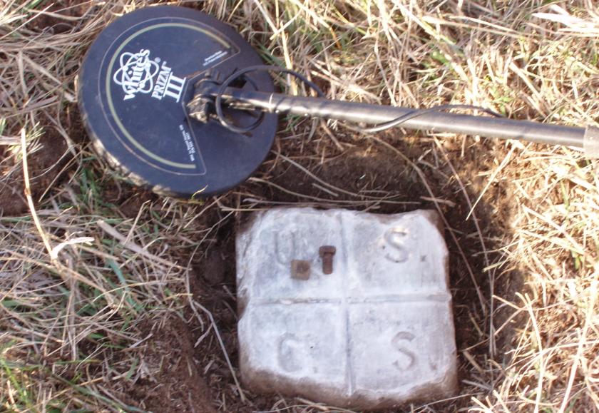
The surface monument consisted of an 8-inch square marble post which was placed in 1899 by USC&GS surveyors during the 98th Meridian Survey between Mexico and Canada. Below the post is an inverted earthenware crock with a drill hole in the center. The hill on which it was placed is very prominent and a full view can be seen in all directions. The town of Brayton could be seen four miles to the east and might have been an unloading point for the heavy survey monuments.
In 1927 C&GS surveyors located the monument, but noted that the top edges were being chipped off by wagon wheels passing over it. In 1935 the top was reported as leaning slightly to the east. A recovery effort in 1951 placed two brass disk reference marks in concrete as well as an azimuth mark. A final report was made in 1962 which described the monument as being in good condition.
Triangulation Station
1899
November 9, 2008
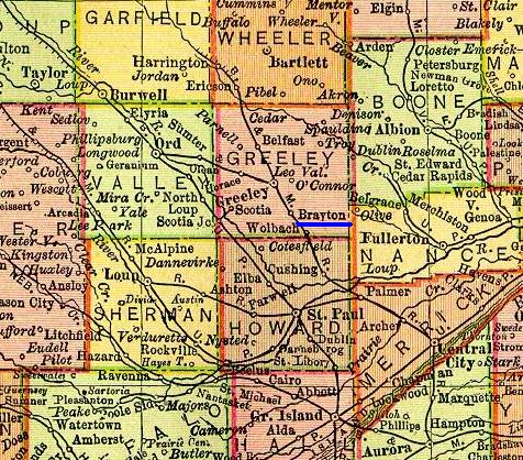
Many of the towns in this area no longer exist today.

The 109-year-old geodetic monument.

The view to the north as the survey progressed toward Canada.
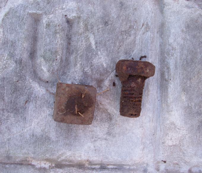
A nut and bolt from a Bilby tower were found in the immediate area.
Sometimes nails can also be found from the original wooden towers.
The nut and bolt likely date from the 1951 survey.
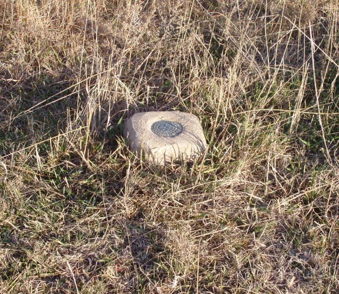
Reference Mark No. 2 is located southeast of the monument.

Reference Mark No. 2.
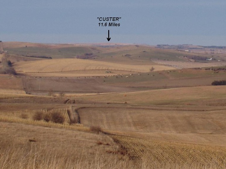
The next station in the network to the north is "Custer" located 11.6 miles away.
Back to 98th Meridian Survey Monuments


© Jerry Penry 2008