USGS
Triangulation Station
"OGALLALA"1896
Jerry Penry
March 22, 2015
This triangulation station is located north of Ogallala, Nebraska, and is south of Lake McConaughy. When originally established in 1896, the monument was on an iron post. USGS used Bench Mark monuments for their early triangulation stations, so the caps read "B.M." on them. In 1933, USC&GS recovered the monument and placed it in concrete. Three reference marks were also set. Lake McConaughy is a manmade lake constructed between 1936-1941. It measures 4 miles wide at its widest location and is approximately 22 miles long.
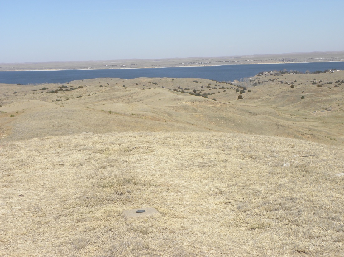
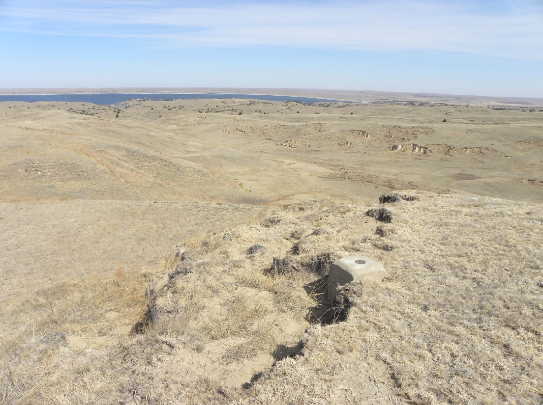
USGS triangulation station "Ogallala". Looking north toward Lake McConaughy.
Looking to the northeast toward Kingsley Dam. The second largest earthen dam in the world.
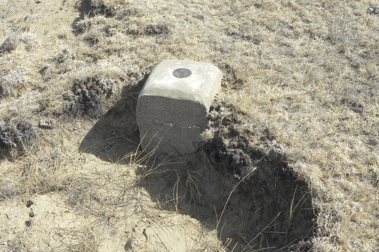
The 1896 USGS monument lowered and placed in concrete by USC&GS in 1933.
The triangulation station with the bench mark "B.M." cap.
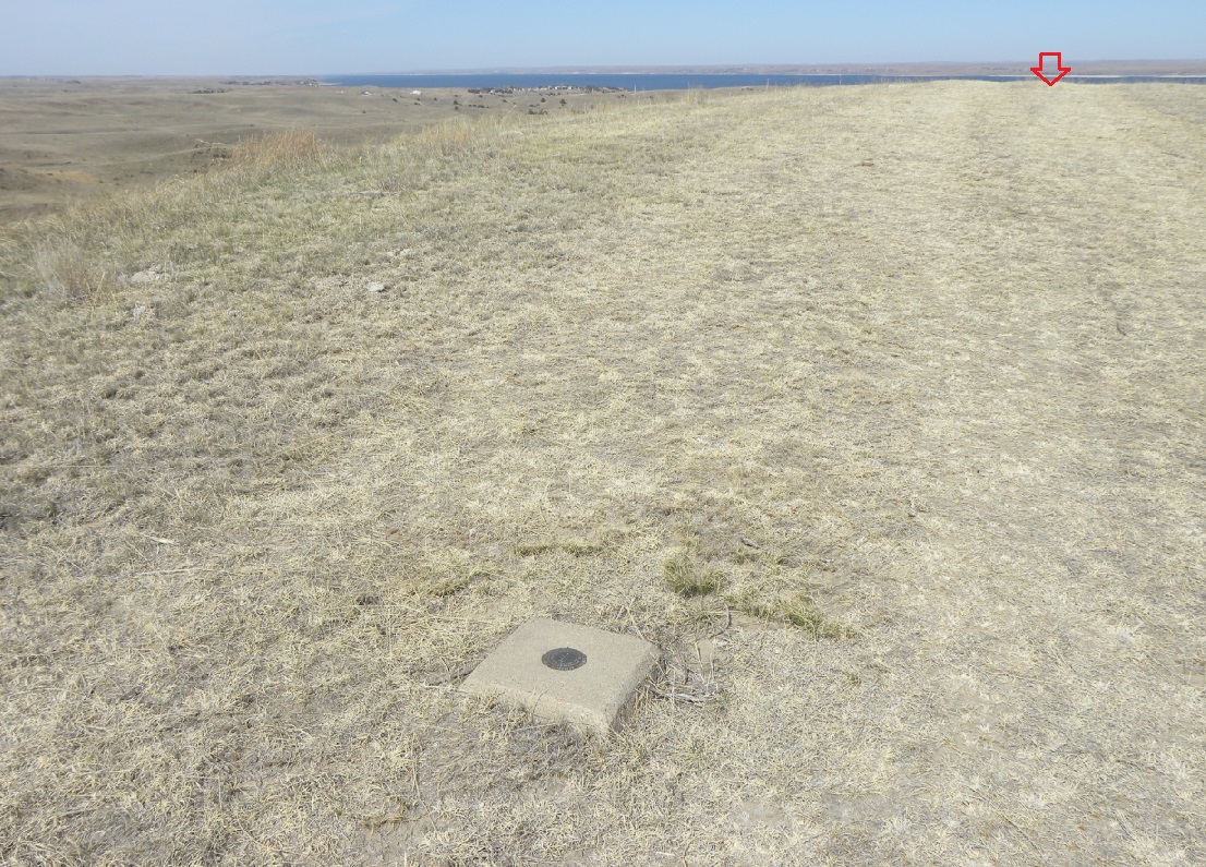
Reference Mark No.1 is southeast of the triangulation station indicated by the arrow in the distance.
Close-up of the disk for Reference Mark No. 1.
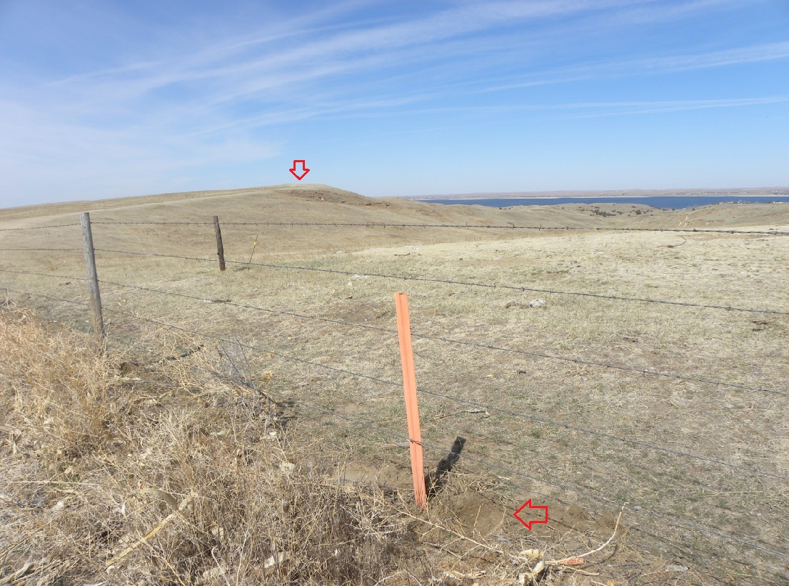
Reference Mark No. 2. The arrow points to the triangulation station.
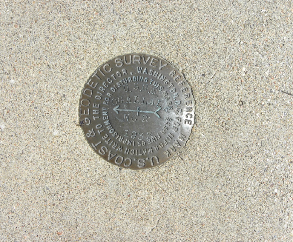
Close-up of Reference Mark No. 2.
Reference mark No. 3 on the north end of the bluff.
Erosion of the bluff at Reference Mark No. 3.
Close-up of Reference Mark No. 3.
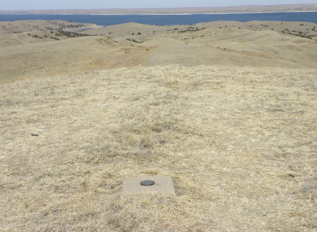
Vie of Lake McConaughy.
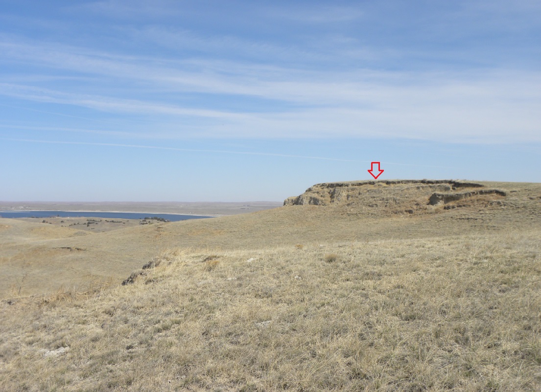
Looking northeast from another bluff toward the bluff where the triangulation station is located.