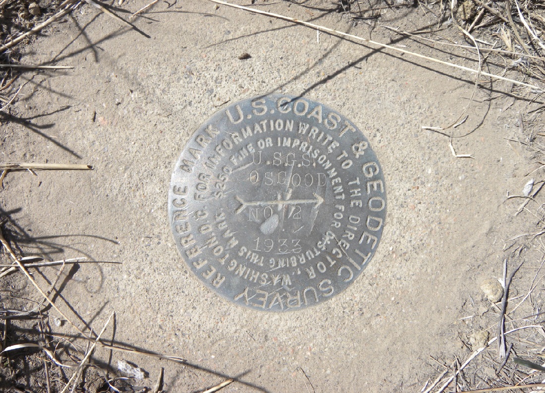
USGS
Triangulation Station
"OSGOOD"
(RESET)1896
Jerry Penry
March 31, 2007
March 22, 2015
Possibly the first permanent triangulation station established in the interior of Nebraska away from the Missouri River. This station, and its companion station "North", are located north and south of the USGS North Platte Base Line in the city of North Platte. Osgood is at the east end of a triangulation network then went west from North Platte. It's location makes it probable that either "Osgood" or "North" were the first triangulation stations set by a government agency in the interior of Nebraska. USC&GS did not arrive until two years later in 1898. In 1933, this station was found nearly destroyed by erosion by surveyors of USC&GS. The monument was lowered and given the designation "Osgood Reset". Two reference marks were also established in 1933 by USC&GS.
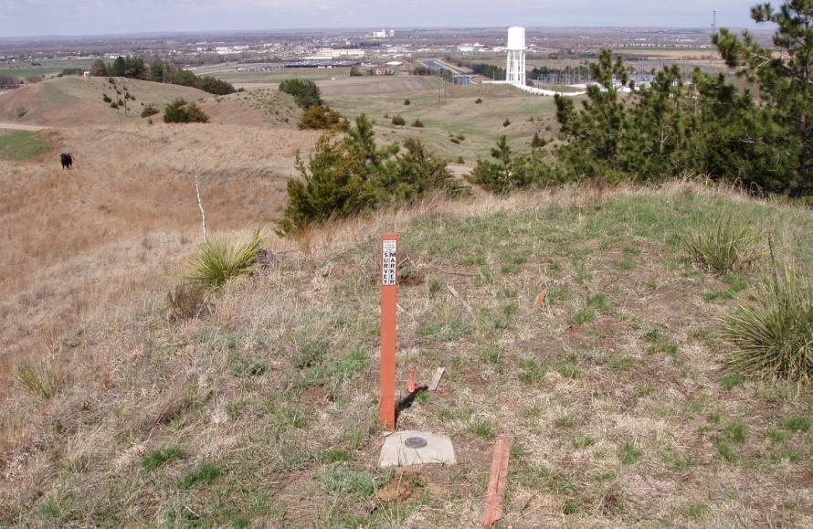
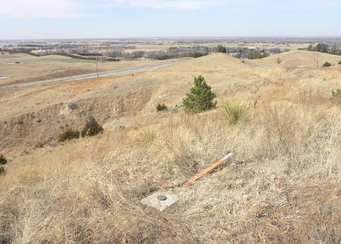
Looking north toward the town of North Platte.
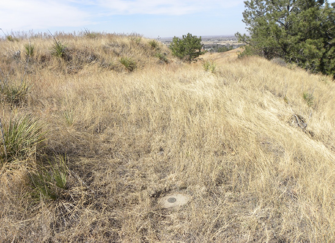
USC&GS used this monument in the 1930's and placed concrete around it.
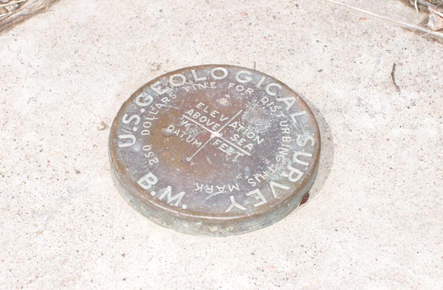
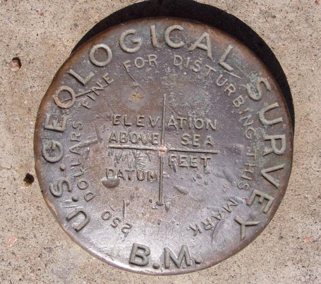
The cap of the 1896 monument.
March 22, 2015
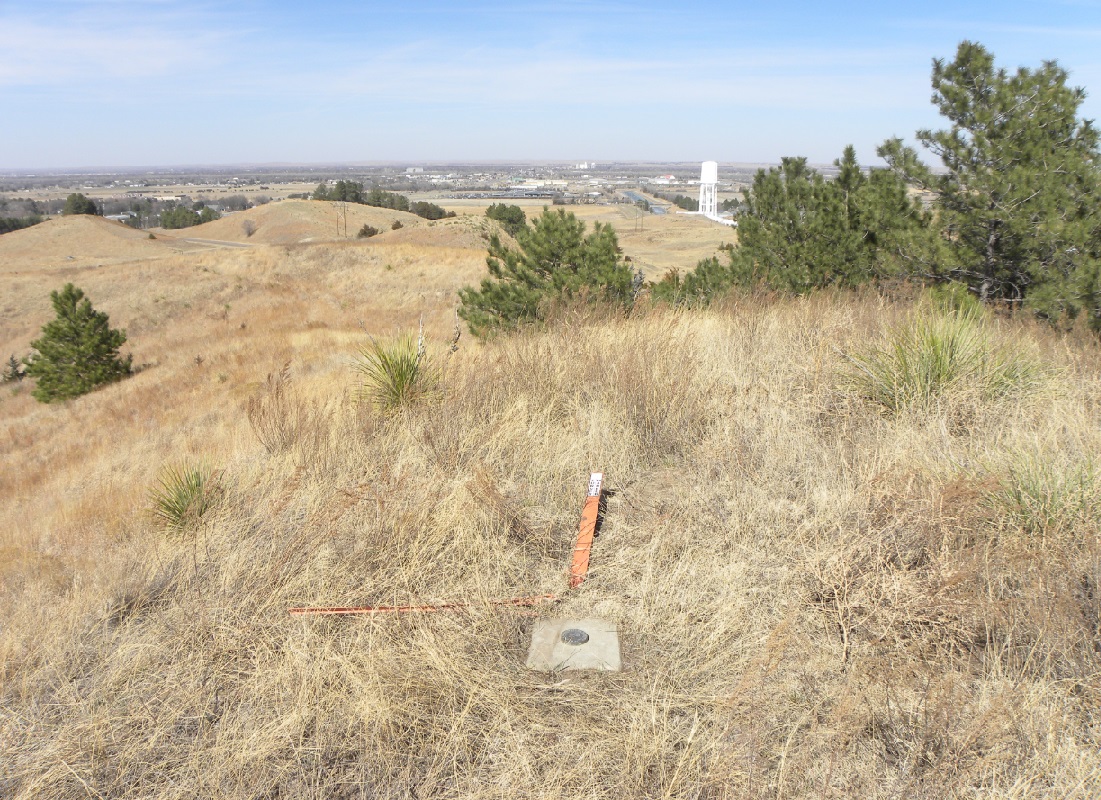
Looking north toward North Platte.
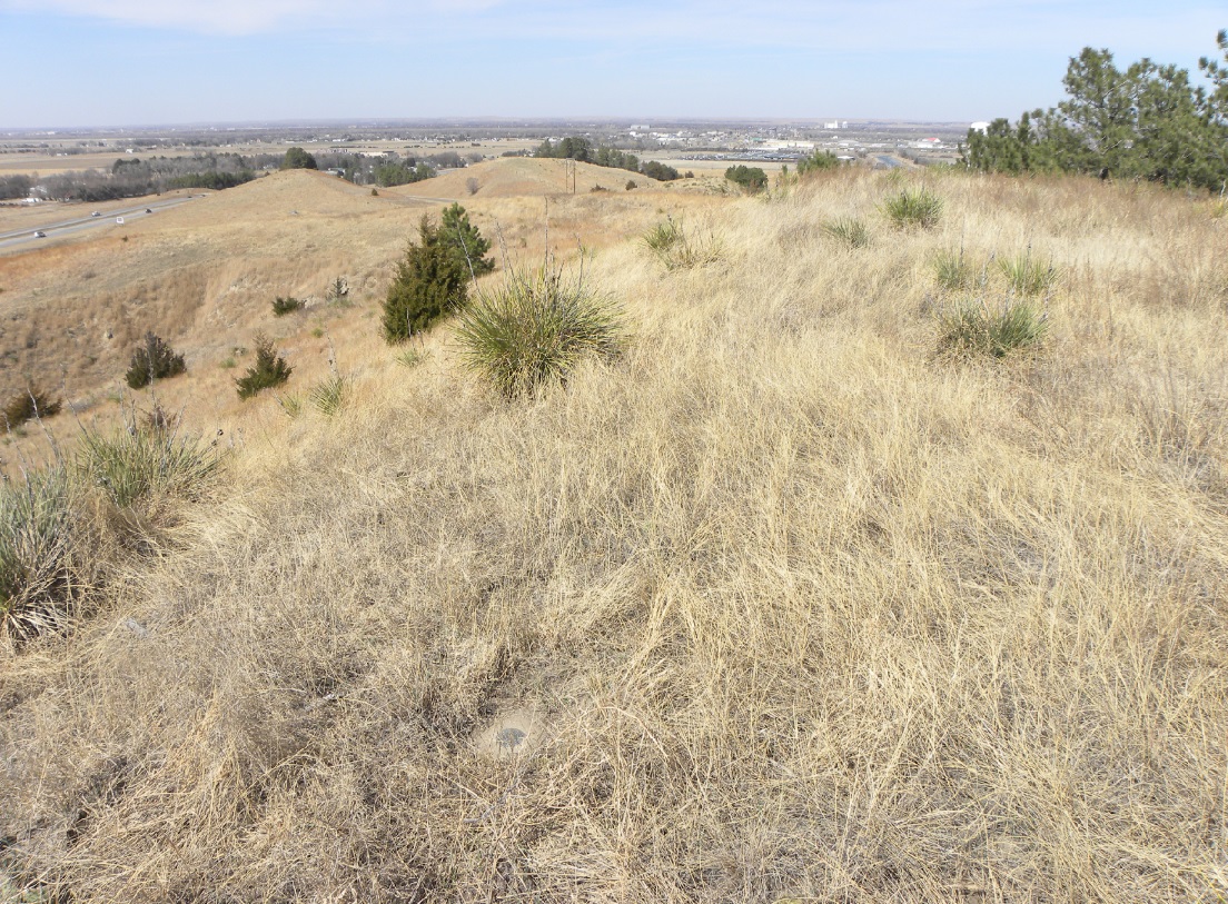
Looking northwest.
Reference Mark No. 1.
Reference Mark No. 1.
Reference Mark No. 2.
Reference Mark No. 2.