USGS
Triangulation Station
"ASTRONOMICAL STATION"1890
Jerry Penry
April 19, 2010
The astronomical pier, which was placed in the grounds of the Pennington County courthouse at Rapid City, South Dakota, was the beginning of the original triangulation network for the Black Hills area of South Dakota. This became known as the Rapid City Astronomical Datum as developed by the U. S. Geological Survey. The work to determine the position of the pier was done by Samuel S. Gannett in the year 1890. Gannett derived the pier's position of latitude by what was known as the "Talcott" or "double zenith distance" method. Pairs of stars were selected from Safford's Catalog of 2,018 Stars, or whenever possible from the Berliner Astronomisches Jahrbuch. Longitude was determined by the telegraphic method with the base station being the Washington Observatory at St. Louis, Missouri. The pier was described as being brick extending three feet below the surface and 30 inches above. The top was a dressed sandstone cap lettered U.S.G.S. A meridian point was established approximately one mile to the north.It is believed that the astronomical pier was destroyed long ago, possibly in 1922, with the construction of a new courthouse building. An asphalt parking lot is now at the location where the pier should have been located had it survived. The original description describing it's location, as described in 1893, slightly differs from a description made around 1897-1900 when leveling was done to the astronomical pier by USGS. (See the last two images below).
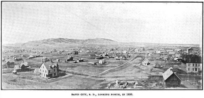
Rapid City in 1899.
Since the astro station was established 9 years before this photo was taken, it gives a great perspective of how wide open the area once was.
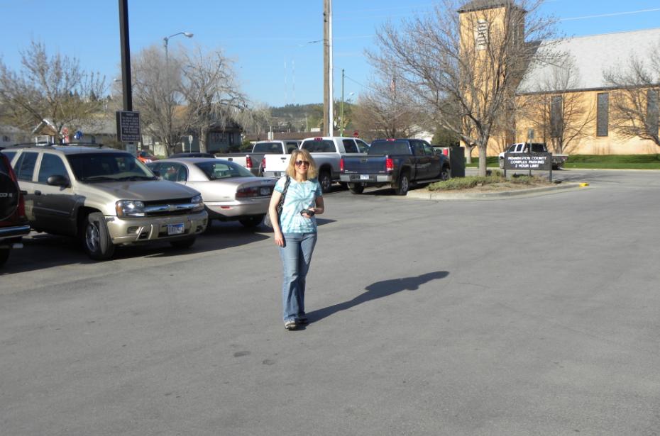
Using a handheld Garmin 12 GPS receiver, Jenny stands in the approximate location where the brick astronomical pier once stood.
The original USGS latitude/longitude positions were adjusted to NAD83 to determine this location which is now a parking lot.
The original description in 1890 stated that the astronomical pier was 75' west of the southwest corner of the courthouse building.
Had the current building been in the same location as the one in 1890, this is where we would have been looking.
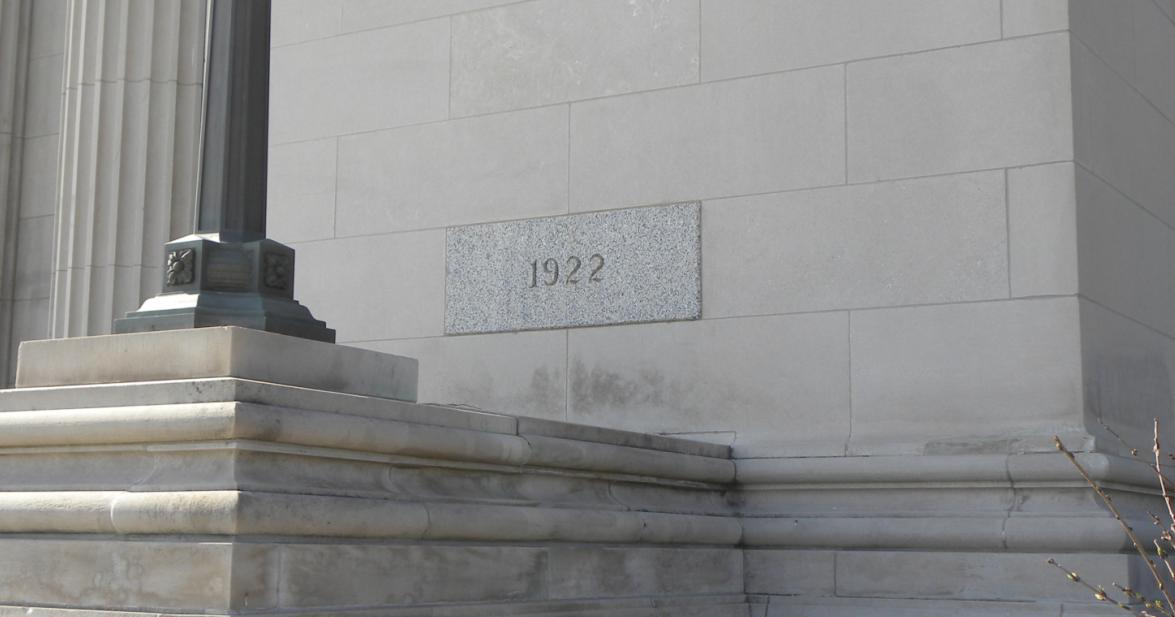
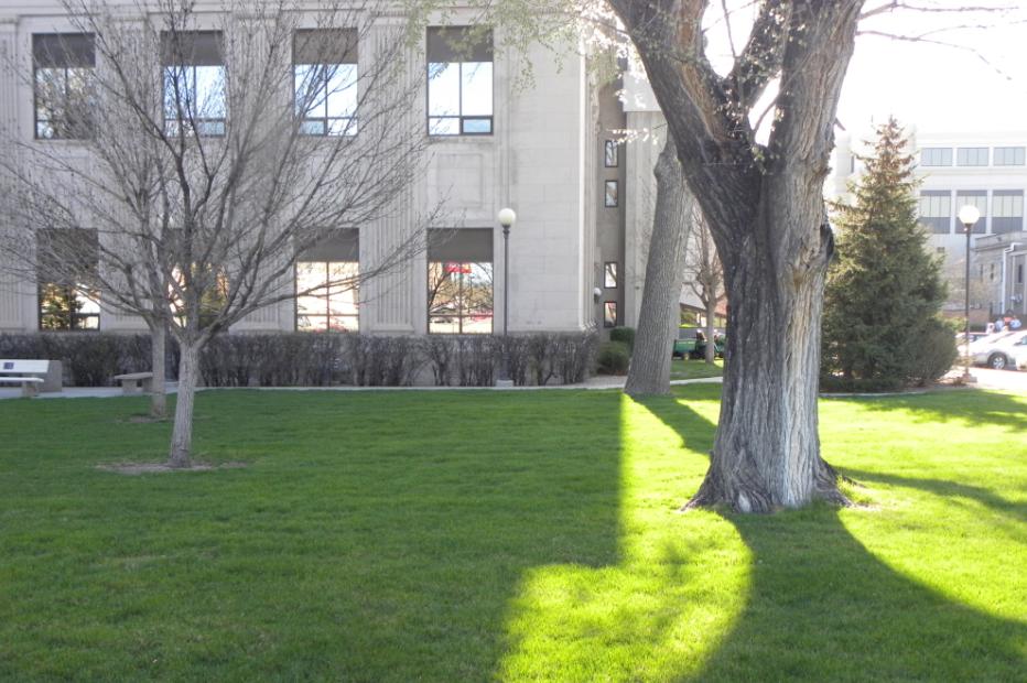
After researching the age of the building with personnel inside the courthouse, it was determined that the existing building was constructed in 1922.
The date on the northwest corner of the building confirmed this. The astronomical pier was likely destroyed around this date. No photo of the original building could be found.

The original description in 1893 states that the pier is 75' west of the southwest corner of the courthouse.
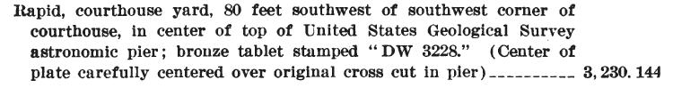
The description from the leveling report states that the pier was 80' southwest from the southwest corner of the courthouse.
If the new courthouse is approximately in the same location as the 1922 courthouse, the pier would be in the parking lot today.
The "DW 3228" is from the USGS datum originating at Deadwood, SD.
The elevation of 3,230.144 is from an adjustment that was later made after a connection with USC&GS leveling at Edgemont, SD.
Back to USGS Black Hills Triangulation

© Jerry Penry 2010
