Early U.S. Geological Survey Monuments 1893 Triangulation
In 1890, the U. S. Geological Survey began their triangulation network in the Black Hills region of South Dakota by first placing an astronomical station in the courthouse grounds at Rapid City. The following year, 1891, a base line was established northeast of the city nearly five miles in length. Several triangulation stations were also established in 1891, but poor weather prevented the measurement of any angles in the network. In 1893, the base line was remeasured three different times for accuracy with a 300-foot steel tape and the triangulation stations were tied in by angular measurements. This original network included the two base line endpoints, sixteen triangulation stations, an astronomical pier, and a meridian point for the astronomical pier.
The astronomical station pier was erected by Samuel S. Gannett who calculated its position of latitude by observations of the stars and longitude by a telegraphic exchange at St. Louis. A meridian point was established approximately one mile north of the astronomical pier. This pier became the basis for what was known as the Rapid City Astronomical Datum.
In 1925 the U. S. Coast & Geodetic Survey placed their own triangulation stations near many of the same places that USGS had done in 1893. The two agencies therefore have their own monuments often just a few feet apart from each other. The USC&GS monuments are brass caps on iron pipes whereas the USGS monuments are mostly marked stones.
UNITED STATES
GEOLOGICAL SURVEY
(South Dakota)
Black Hills Region
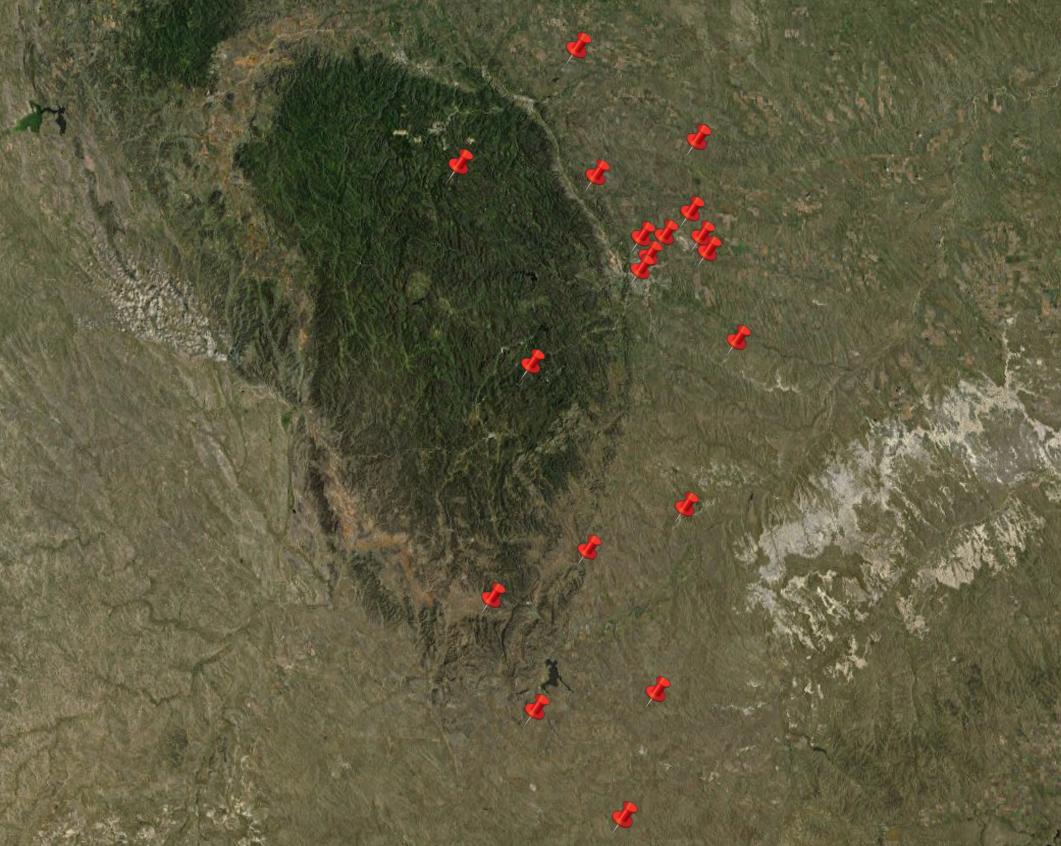
border on the south, to Bear Butte located east of Sturgis on the north end.
Back to USGS Monuments


© Jerry Penry 2019