USGS
Triangulation Station
"WEST BASE"1891
Jerry Penry
May 17, 2019
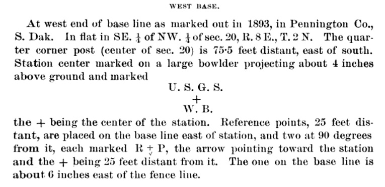
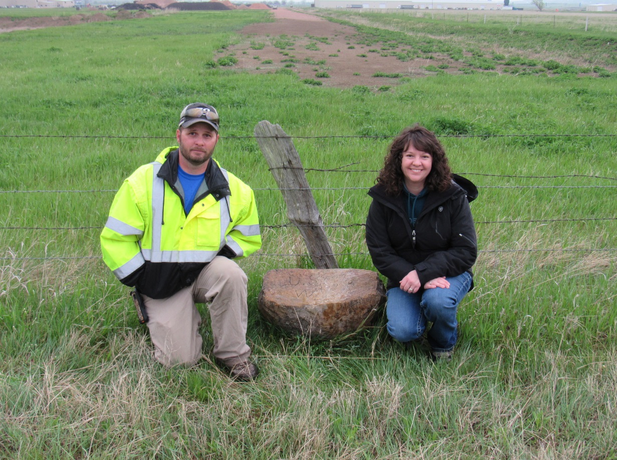
The West Base stone for triangulation network was placed in 1891 when the baseline was originally measured and then remeasured in 1893. The location was in an open field, so there was a good chance of finding it. On May 17, 2019, South Dakota licensed surveyors Linda Foster, Jon Collins, and Jerry Penry, calculated the location where the stone should be located. It was no longer in place, but instead found in a nearby north-south fence line just to the east of the location where it should have been. One of the marked Reference Point stones was also found in the same fence. A third stone was found embedded and under the fence. This stone is believed to be the Reference Point stone that was on the baseline and 25 feet from the West Base stone. The third Reference Point stone was not found. The area around the corner fence corner was probed for the center of section stone, but nothing was found.
The original description when the monument was placed in 1891.
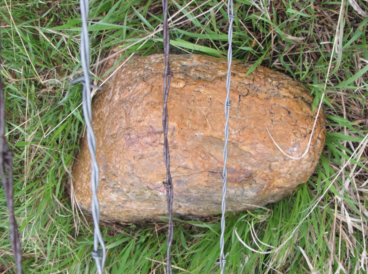
The West Base stone found in the fence line where it was placed after being dug out of its original location.
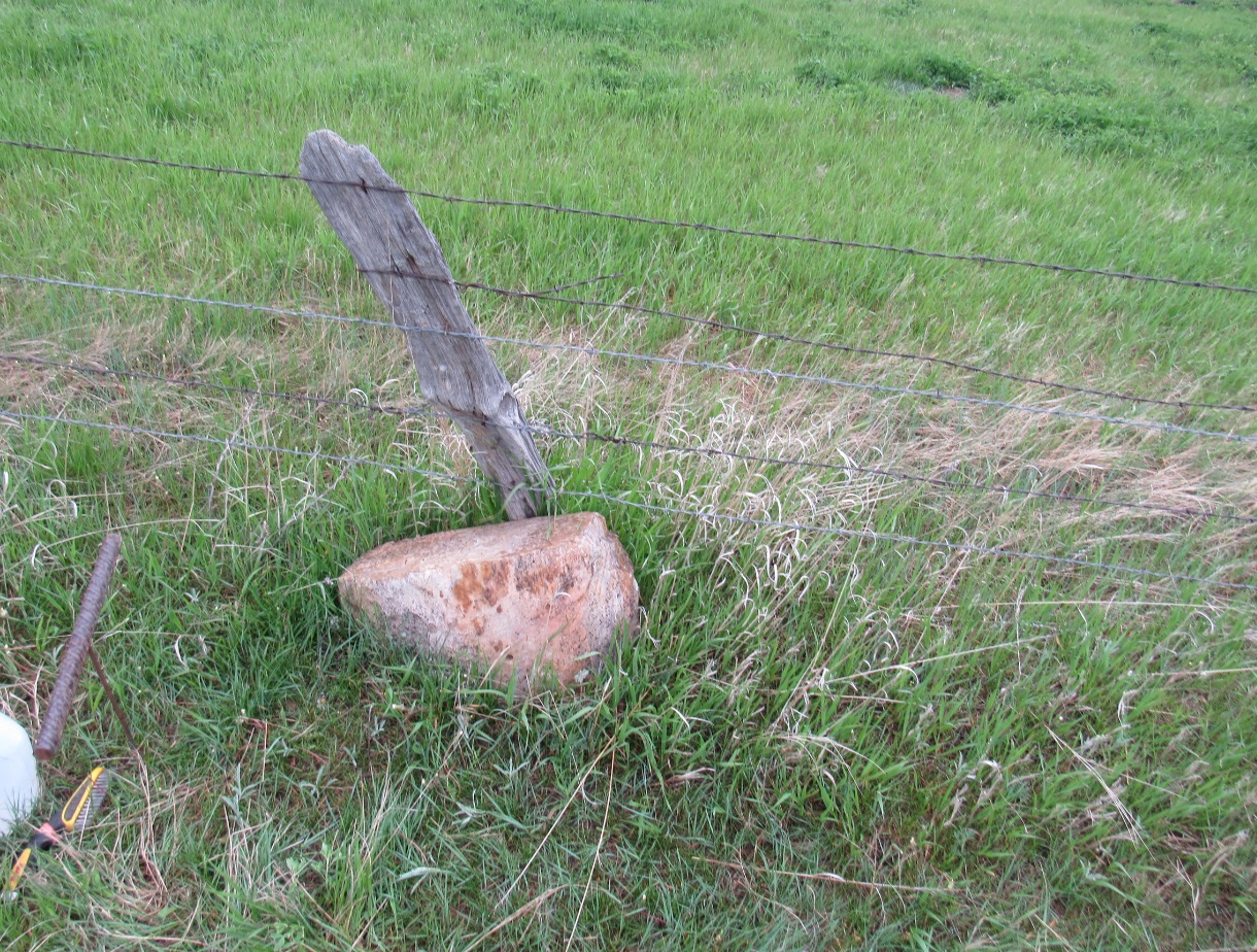
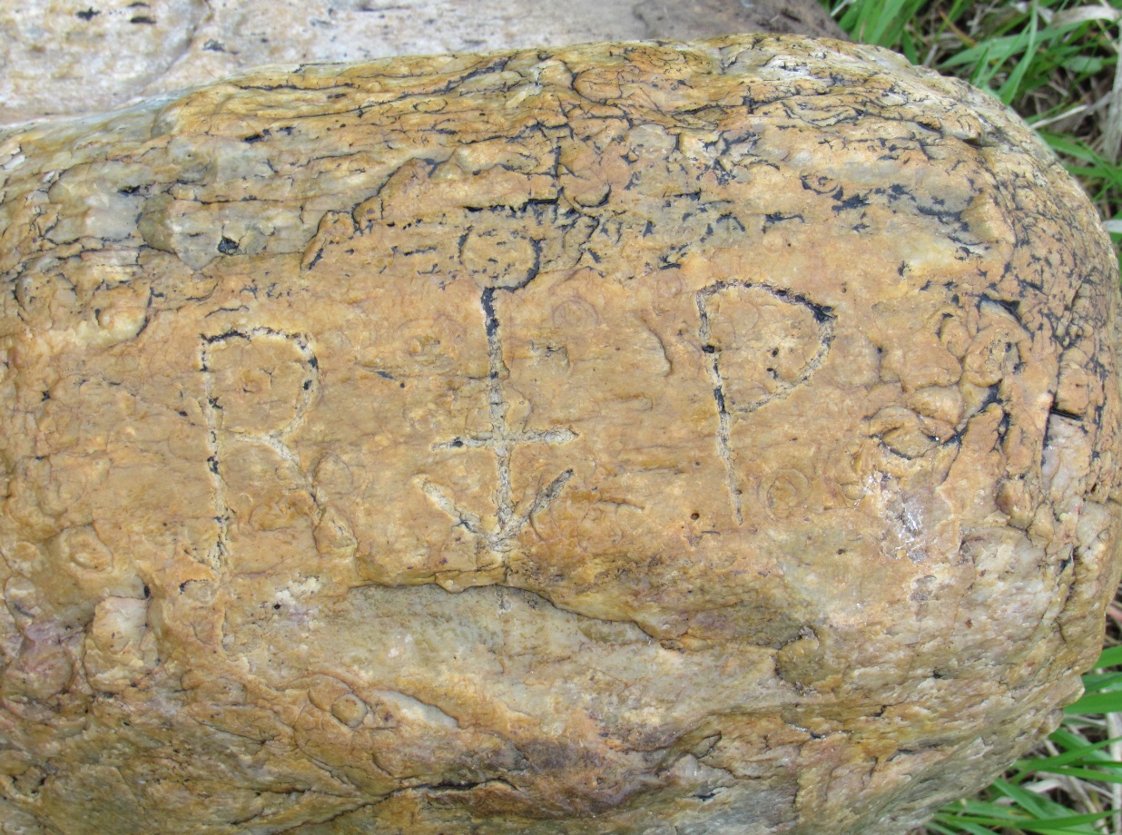
The lettering on the flat top face of the West Base stone.
South Dakota surveyors Jon Collins and Linda Foster with the recovered West Base stone.
One of the Reference Point stones also found lying ion the fence line.
Close up of the lettering of the Reference Point stone found in the fence line.
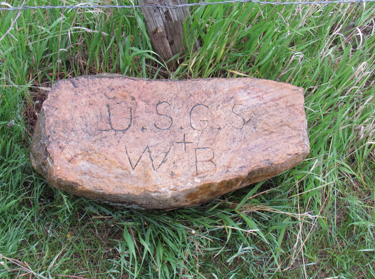
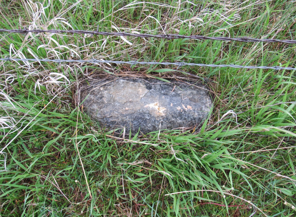
This stone is believed to be the point on line that was set 25 feet from the West Base stone. No visible markings.
Back to USGS Black Hills Triangulation

© Jerry Penry 2019