USGS
Triangulation Station
"WINDY"1893
Jerry Penry
May 13, 2019
This point in the original 1893 triangulation network is located approximately 4.6 miles northeast of Oelrichs, South Dakota, on a prominent hill among other rolling grass covered hills. The area has remained virtually unchanged since the monument was established in 1893.
Approaching the hill where the monument is located from the northwest.
Looking to the northwest over the point while lining up with Black Elk (Harney) Peak about 46 miles in the distance.
Looking south from the monument over the grass covered hills. A formation on the horizon known as Limestone Butte is 5 miles distant to the left of center.
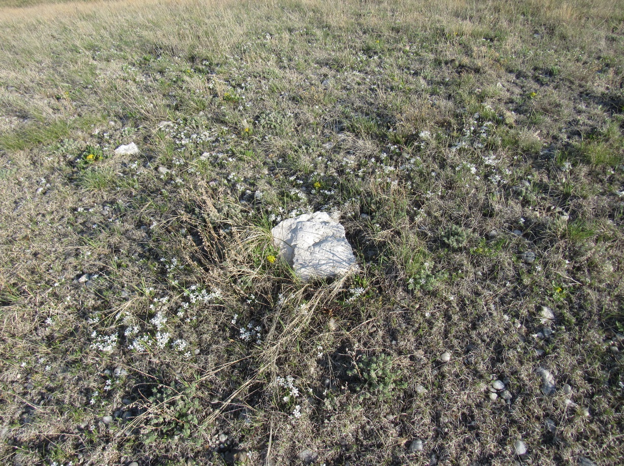
The monument with small pebbles scattered around on the top of the hill.
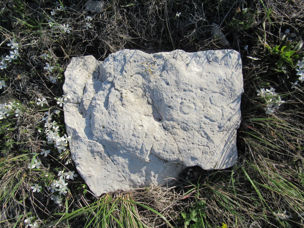
Weather has damaged the top of the stone monument, but the letters "G S" are still very visible on the right side.
Back to USGS Black Hills Triangulation

© Jerry Penry 2019