USC&GS
Triangulation Station
"CHADWICK"1899
Jerry Penry
September 17, 2010
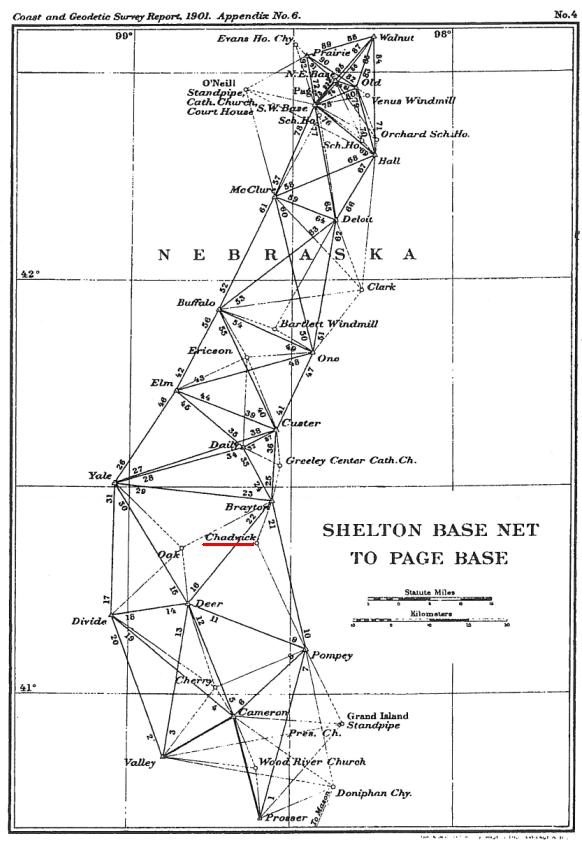
Triangulation station "CHADWICK" is a secondary point in central Nebraska used on the 98th Meridian Survey that stretched between Mexico and Canada. After searching the old USC&GS records, a position was found for this station, but there was no description of the monument used. This point is on a high hill which is reportedly the highest in Howard County, Nebraska. In 1899 the USC&GS surveyors used station "Chadwick" to connect between stations "Pompey" and "Brayton" which were primary points in the network. The primary points were marked with marble posts for surface marks. Most likely the point used at station "Chadwick" for the surface monument was a wood post with a tack, while the underground mark was something more substantial. Other secondary points that have been uncovered in recent years were marked with old jugs for the underground mark. (See CARTER and COUNCIL HILL which are two recovered secondary points on the 98th Meridian Survey.) Based upon our previous success at other locations, and our calculations at those points being correct, we felt confident we would also uncover something at station "Chadwick".
Triangulation map by USC&GS showing station "Chadwick" in the 98th Merdiain Survey network.
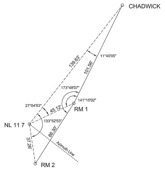
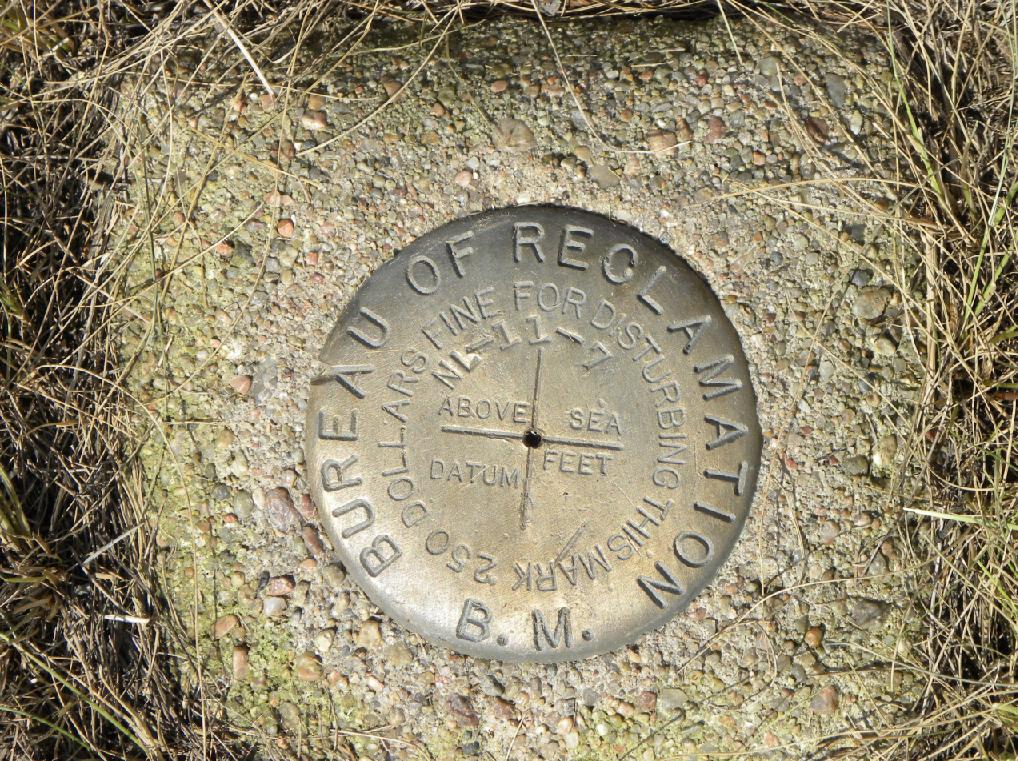
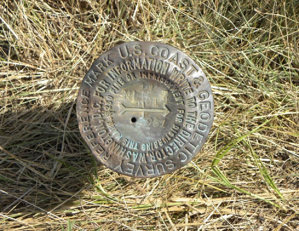
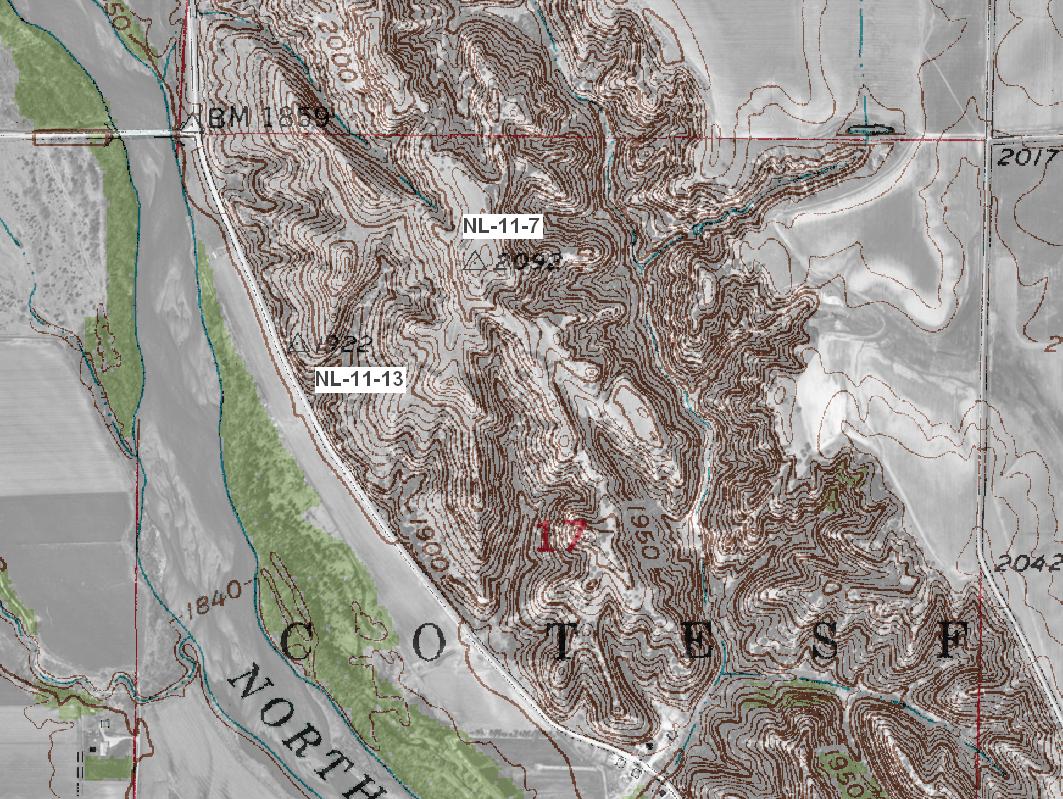
It is doubtful that station "Chadwick" was used again after it was established in 1899. In the 1940's the Bureau of Reclamation surveyed the Loup River and established their own triangulation stations in the area. One BOR station, designated "NL-11-7", was set on the same hill as station "Chadwick". In 1951 the USC&GS surveyors also wanted to use this hill and occupied the BOR monument instead of setting their own. If they had searched for their old station "Chadwick", that information has not been found. USC&GS set two reference marks bearing the markings of that agency pointing to BOR marker "NL-11-7".
During an earlier trip in the spring of 2009, BOR station "NL-11-7" was occupied as were the two nearby USC&GS reference marks wuith static GPS. Positions were then obtained through the Online Position User Service (OPUS). Station "NL-11-7" already had a published posiition, (ML1095), but an observation was made to verify. A position was then computed to the location of station "Chadwick" by first converting the historical position of that monument to a modern day position. We were now ready to set a total station up BOR station "NL-11-7" and use one of the USC&GS reference marks for a backsight to turn the computed angle and go the computed distance to station "Chadwick".
Relationship of station "Chadwick" to Bureau of Reclamation station "NL-11-7" and USC&GS Reference Marks No. 1 and No. 2.
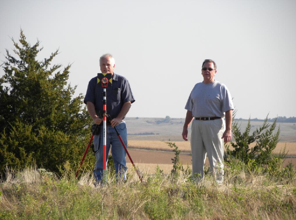
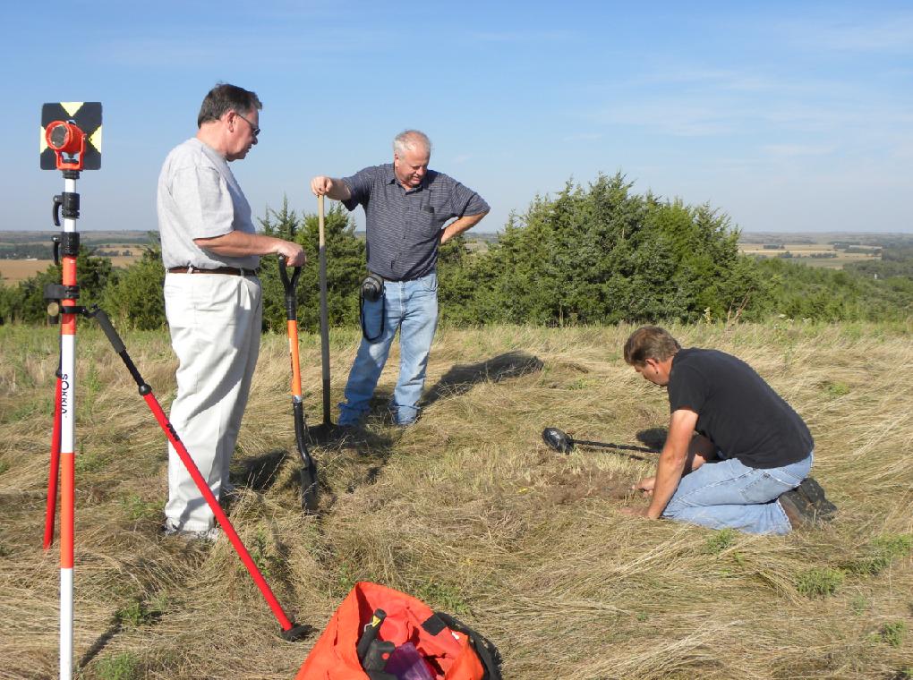
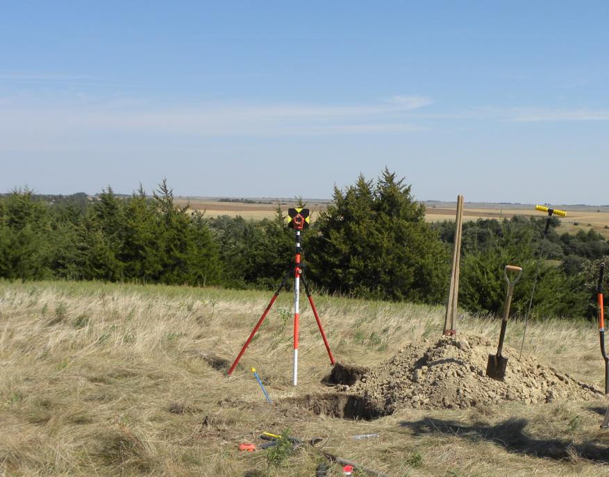
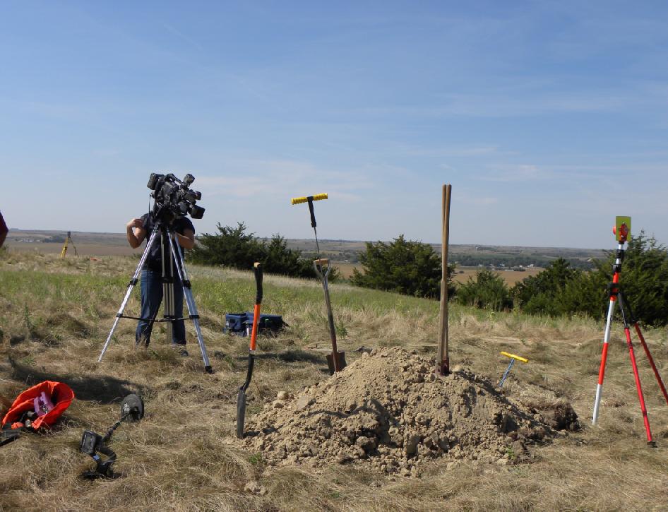
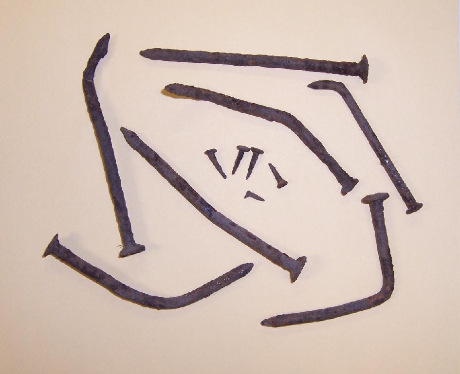
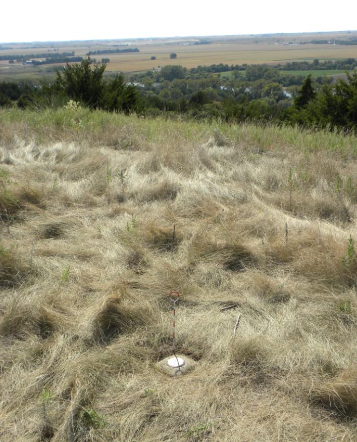
"Chadwick" was mathematically determined after static observations of "NL-11-7" and the two reference marks.Attending the search on September 17, 2010, were Gene Thomsen, David Hoffart, Jerry Penry, and landowner Garry Wells. A news reporter from Station NTV of Kearney, Nebraska, also documented the dig. Our historical search was later aired on the Kearney news channel. Complete success was not to be had at this location. An extensive search did recover five small tacks which are the same type as what were found at secondary station "Council Hill" in 2009. We also found seven bent nails which we believe are from dismantling the wooden observation tower over station "Chadwick". All nails and tacks were found in the immediate vicinity of our calculated position. At one location during our excavation we found a discolored circle indicating a previous disruption of the soil. Nothing was found after digging a hole four feet in diameter and two feet deep. Probing another four feet failed to find a buried monument.
The exact reason we did not find a buried monument at station "Chadwick" is not clear. Perhaps there never was a lower monument and only a tacked wooden post at the surface was all that existed. In 1935, USC&GS surveyors tried to find many of the original monuments marking the stations of the 98th Meridian Survey. A nearby secondary station designated "Oak" had reportedly had a 4"x6" wooden post with a tack in the top for the surface monument and a jug with a tack in the cork for the lower monument. This monument was searched for in 1935 and not found. In 1951 another search was made which produced a buried board being 12 inches square, but no jug was found.
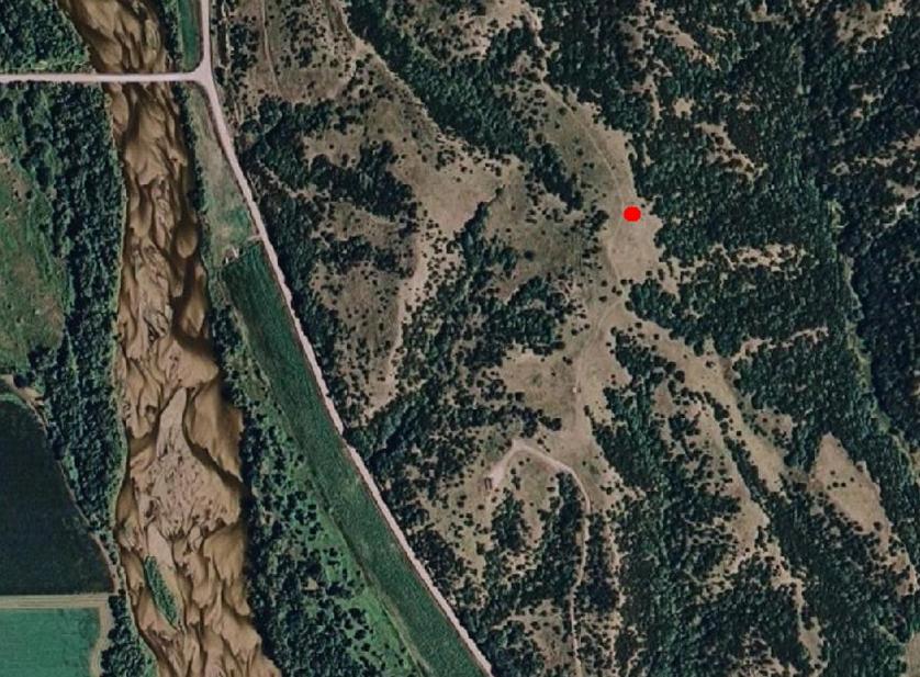
Aerial view of the location for station "Chadwick" in relationship to the Loup River.
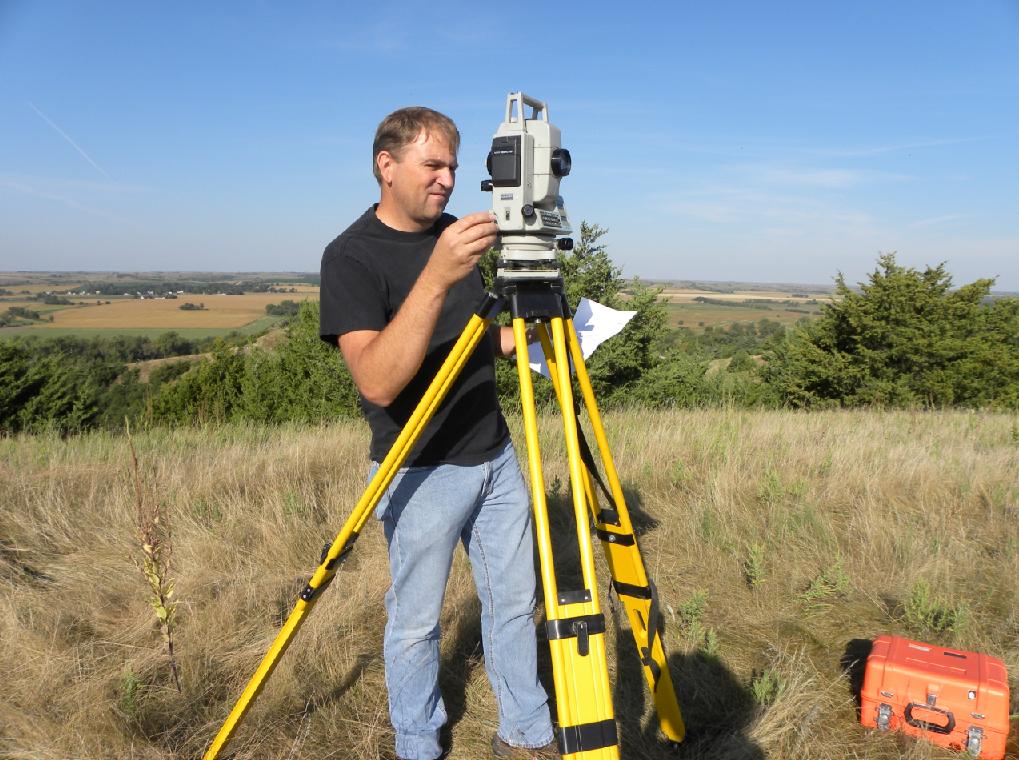
Jerry opertating his SET-3 total station from BOR station "NL-11-7".
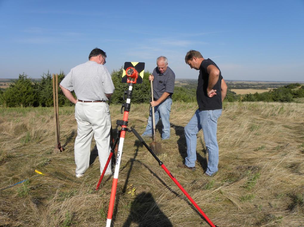
Gene and David staking out the location for station "Chadwick".
Clearing the grass prior to excavating.
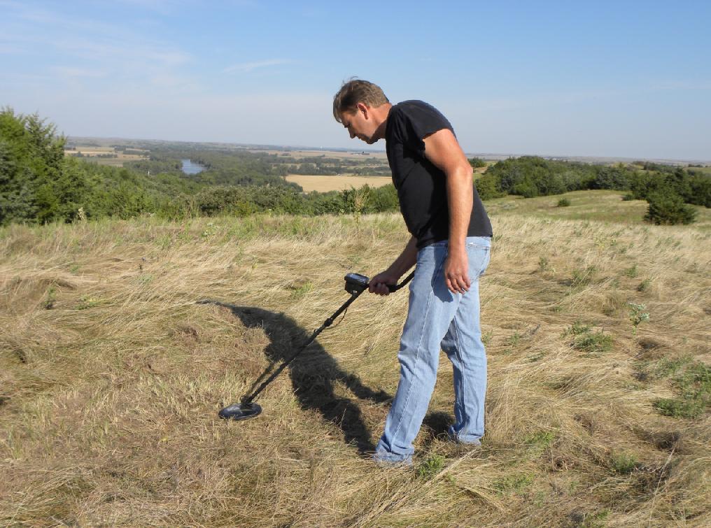
Jerry using the metal detector to search for any clues of a surface tack.
The first tack was found not far below the surface.
Small surveyor's tack.
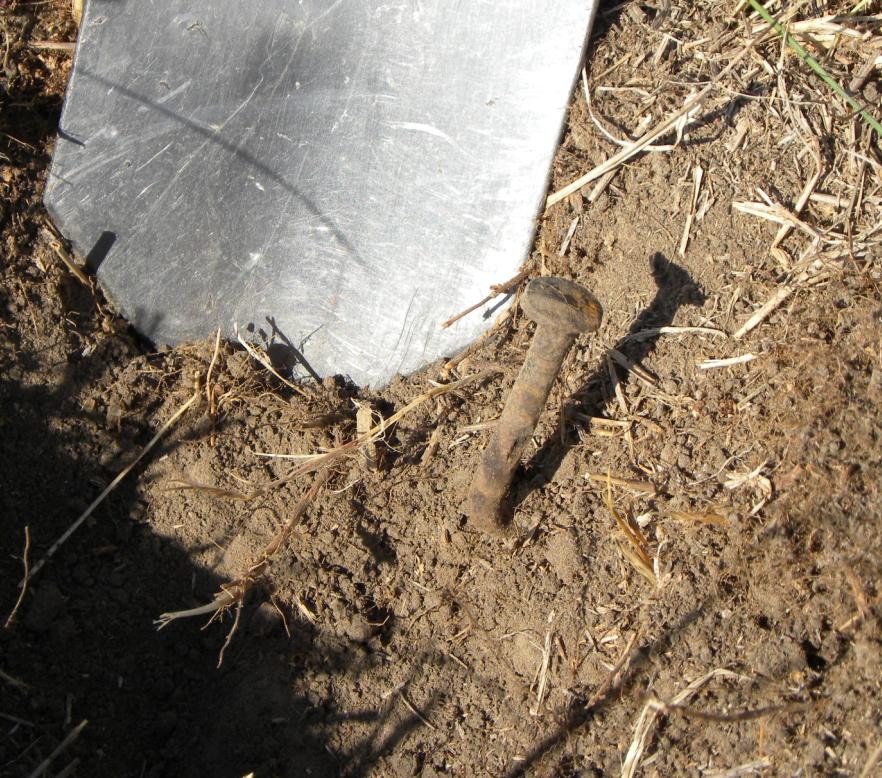
One of the bent nails believed to be from the wooden observation tower.
Discoloration in the soil at 1.5' deep. One of the tacks was found just above this depth.
The excavated hole was 4 feet diameter by 2 feet deep.
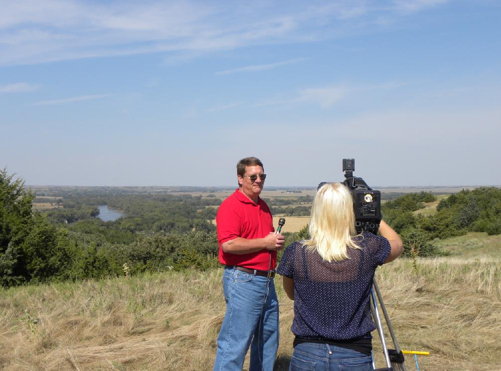
Reporter from NTV News.
Landowner and historian Garry Wells being filmed and interviewed by the NTV News reporter.
Recovered nails believed to be from the observation tower and the surveyor's tacks that were found.
Bureau of Reclamation marker "NL-11-7".
"NL-11-7" with the Loup River in the background. Looking westerly.
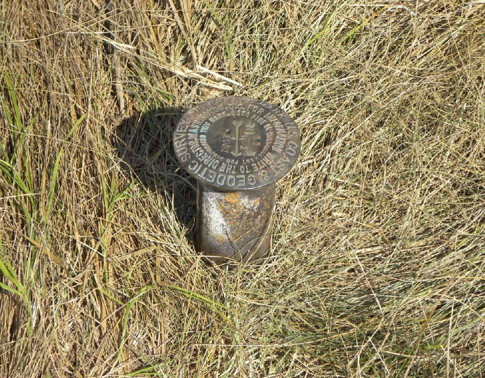
USC&GS Reference Mark No.1.
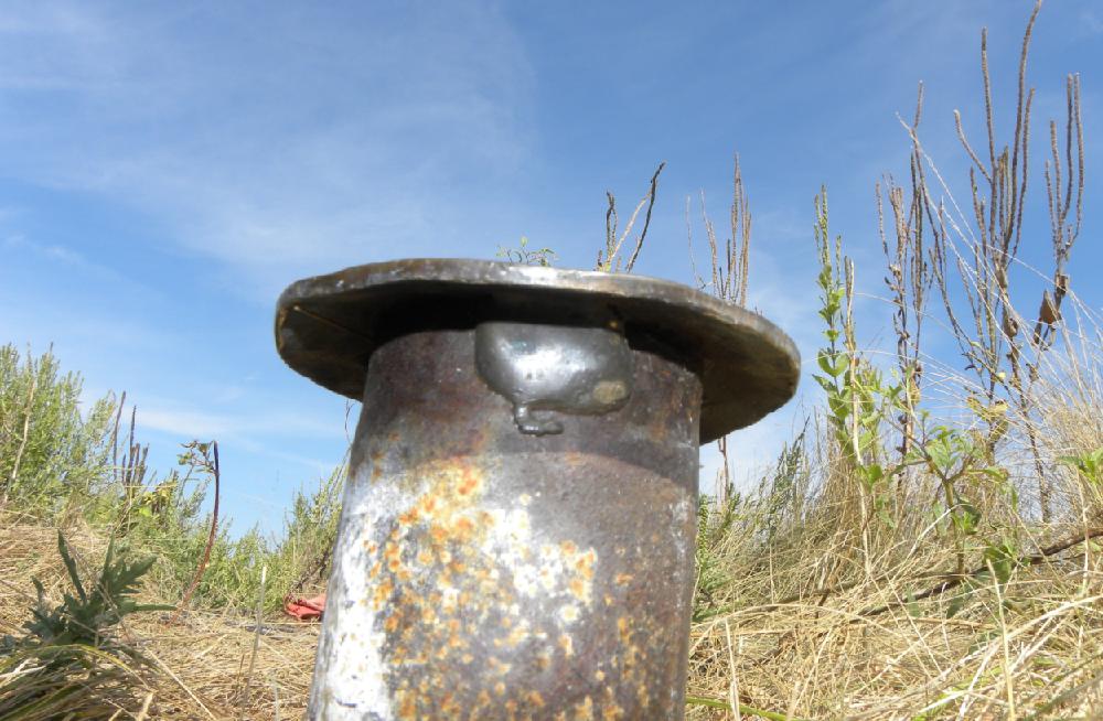
Reference Mark No. 1 on steel pipe.
Showing how the bronze disk was brazed to the steel pipe.
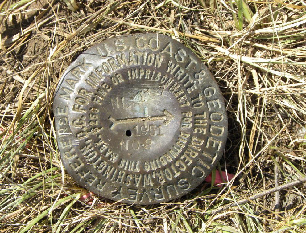
USC&GS Reference Mark No. 2.
The excavated hole after being filled back in.
Map showing BOR stations "NL-11-7" and "NL-11-13".
Bureau of Reclamation station "NL-11-13". This was an unknown triangle that showed up on the USGS topo map until we investigated the location to see what was there.
Disk in concrete. The BOR used "bench mark" disks for their triangulation stations by drilling a hole in the center of the disk.
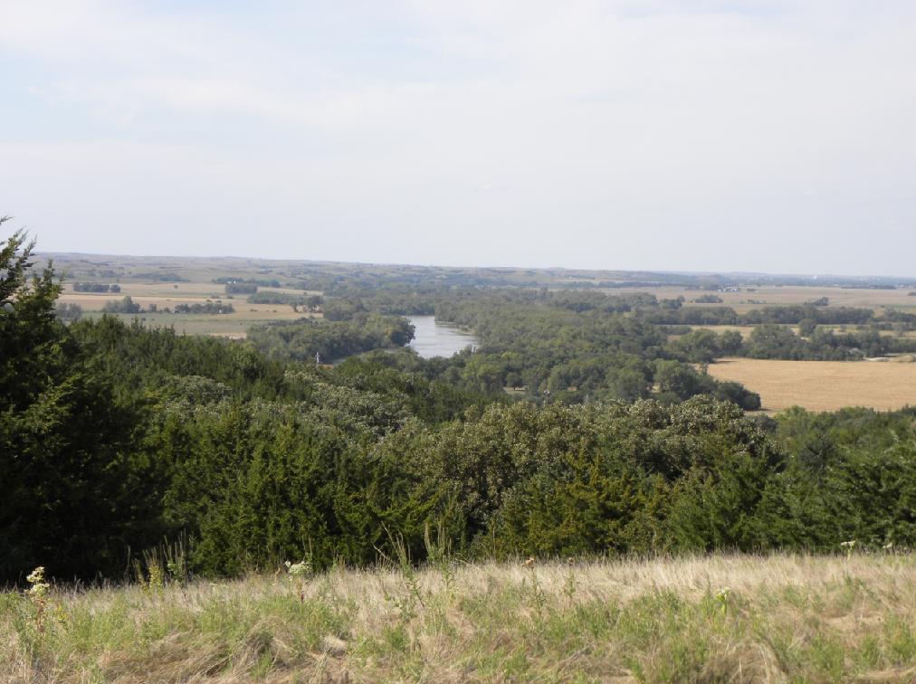
View from the hill looking North.
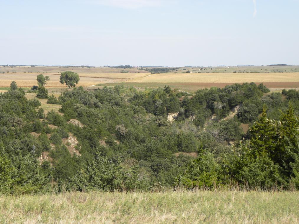
View from the hill looking East.
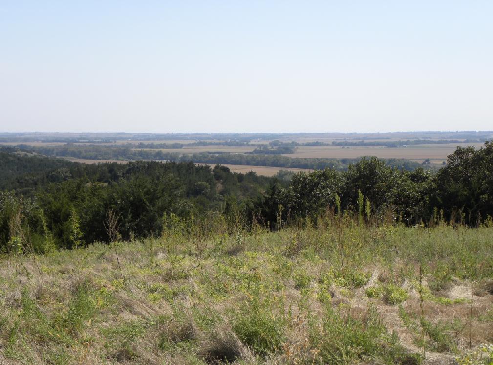
View from the hill looking South.
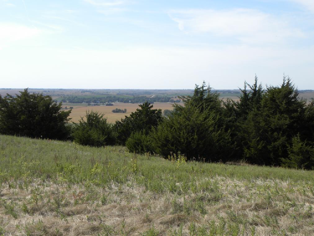
View from the hill looking West.----------------
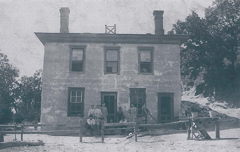
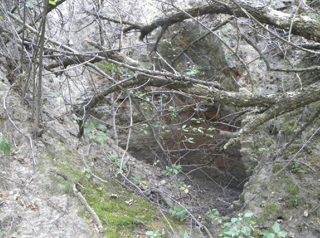
The name "Chadwick" comes from the Chadwick family who operated a nearby hotel to the south of the hill where the survey marker was placed. This hotel once served as the approximate half way location between the Union Pacific Railroad at Grand Island and Fort Hartsuff. The land is rich in chalk and lime deposits. Several lime kilns in the area cooked the soil that was then used to make the slurry for poured slip-form concrete walls such as at the hotel and at Fort Hartsuff.
The Chadwick Hotel. (Photo courtesy of Garry Wells)
The remains of one of the lime kilns in the hills.
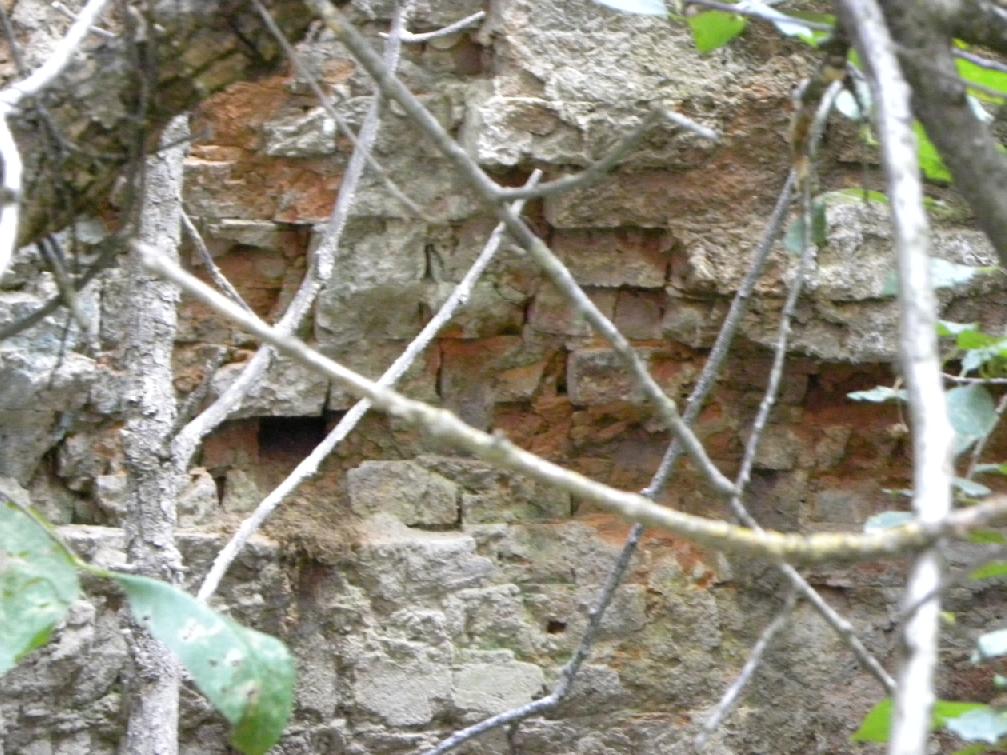
Bricks from the wall of one of the lime kilns.
Back to 98th Meridian Survey Monuments

© Jerry Penry 2010