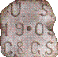
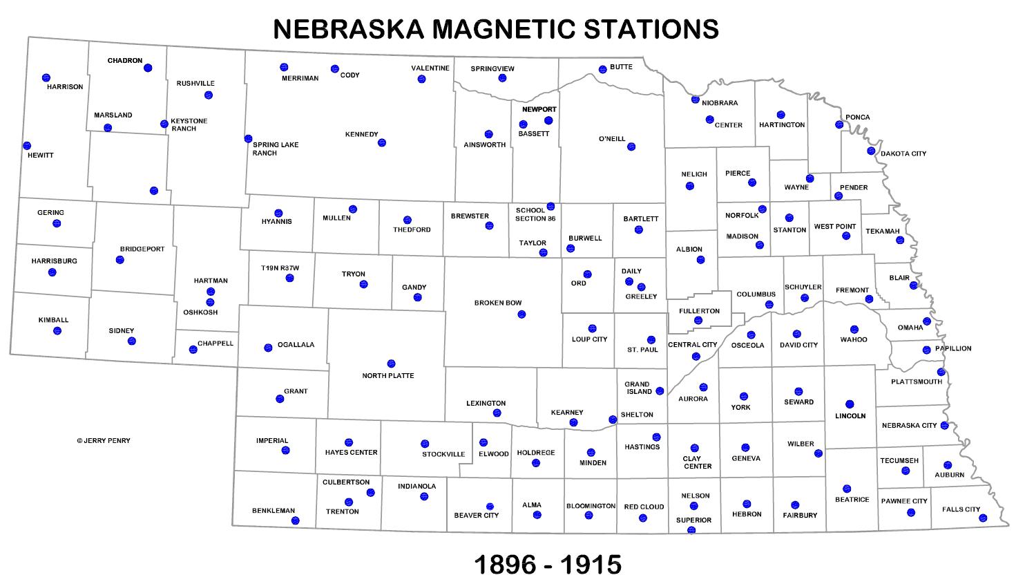
The Nebraska magnetic surveys were begun around 1896 by USC&GS. The intent of the magnetic surveys had a dual purpose. First, the magnetic declination was recorded at the location which helped to make a declination chart for the entire United States. This map was called an isogonic chart and showed the difference in magnetic declination across the country. The second purpose was to provide a permanent monument for surveyors to set up upon with their instruments and check their compass reading. Angles were provided to various objects in the distance such as church spires, edges of buildings or water towers. In rare cases a second stone was set on the true meridian line. The first magnetic stations were mostly crude stone monuments. In the USC&GS Annual Report of 1896 the stations listed in Nebraska were located at Norfolk, Newport and Chadron. By the turn of the century a plan was developed to start establishing magnetic stations at every county seat across the entire country. Specically made limestone markers lettered USC&GS with the date began appearing in Nebraska in 1902. Similar posts were set in 1906, 1907, and 1909. In 1911 special USC&GS brass disks started to appear in the tops of limestone posts and by 1915 these brass disks were being placed in concrete. Records are unclear if any new magnetic stations were placed in Nebraska after 1915.
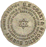 Bronze Monuments 1911-1915

